

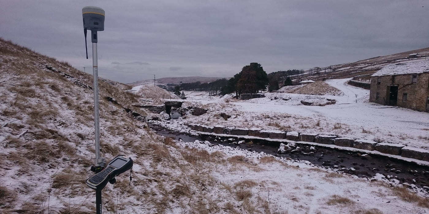
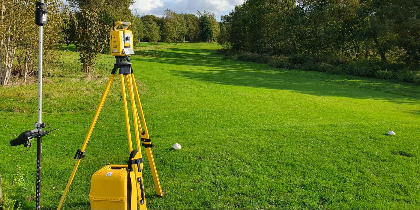
A topographical or land survey is a type of land survey that maps and records the physical features of a piece of land, including the contours, vegetation, buildings, bodies of water, and other features. This is very similar to Ordnance Survey however, these surveys are more specialised and produced to higher scales, e.g. 1:200 rather than 1:25000. The survey is typically conducted using specialised equipment and technologies such as total stations, GPS systems, and laser scanners, and it creates a detailed, accurate, and up-to-date map of the land in question. The resulting data is then processed in survey software to create 3D drawings which are provided to the client.
Topographical surveys are used for a wide variety of purposes, including land-use planning, infrastructure development, and construction. They can help identify areas that may be problematic for building or development, such as steep slopes, wetland areas, or areas prone to flooding. They can also help identify areas that may be of ecological or environmental significance and provide valuable information for conserving natural resources.
The data generated from a topographical survey can be used in the design and planning of construction projects, as well as in the preparation of detailed site plans and maps. These maps and plans can then be used by engineers, architects, and contractors to make informed decisions about the development and construction of new buildings and other structures.
How much does a topographical survey cost?
This can vary due to the time taken to undertake the survey, the size of the overall site, site conditions and the intended use of the survey. Please get in contact to arrange a specific quote for your project.
Do I need a topographical survey?
Topographical surveys are produced for a number of reasons. These can be created for new construction sites (before and after any construction has taken place), planning permission, general lie of the land, or for our clients to understand what is on their site. Topos are not just limited to these functions.
- Land-use planning: A topographical survey can provide important information for land-use planning, helping to determine the best use of a piece of land and identify any potential challenges or limitations.
- Construction planning: If you are planning to build a new structure on a piece of land, a topographical survey can help you determine the best location and design for the project, taking into account the physical features of the land, such as slope and vegetation.
- Infrastructure development: Topographical surveys are also useful for infrastructure development projects, such as the construction of roads, bridges, pipelines, and other structures, as they can provide detailed information about the terrain and other physical features of the land.
- Environmental assessments: A topographical survey can provide valuable information for environmental assessments, helping to identify areas of ecological or environmental significance and provide data for conserving natural resources.
- Flood risk assessments: In areas that are prone to flooding, a topographical survey can provide information about the elevation and contours of the land, helping to identify areas at risk of flooding and inform flood risk assessments.
- Property boundary disputes: A topographical survey can also be used to resolve property boundary disputes, providing an accurate and up-to-date map of the land and its features that can be used to determine the location of property boundaries.
In summary, a topographical survey can provide valuable information for a wide range of applications, from land-use planning and construction to environmental assessments and property boundary disputes.

A good topographical survey will be used in the initial stages but also referred to throughout the life of a project. Our Topographical surveys go through high scrutiny before issuing to our clients to make sure they are up to the highest quality possible.