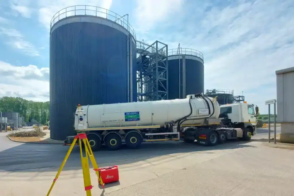
From manufacturing plants to logistics hubs, we provide the accurate data and digital models needed to design, upgrade, and maintain complex industrial environments safely and efficiently.
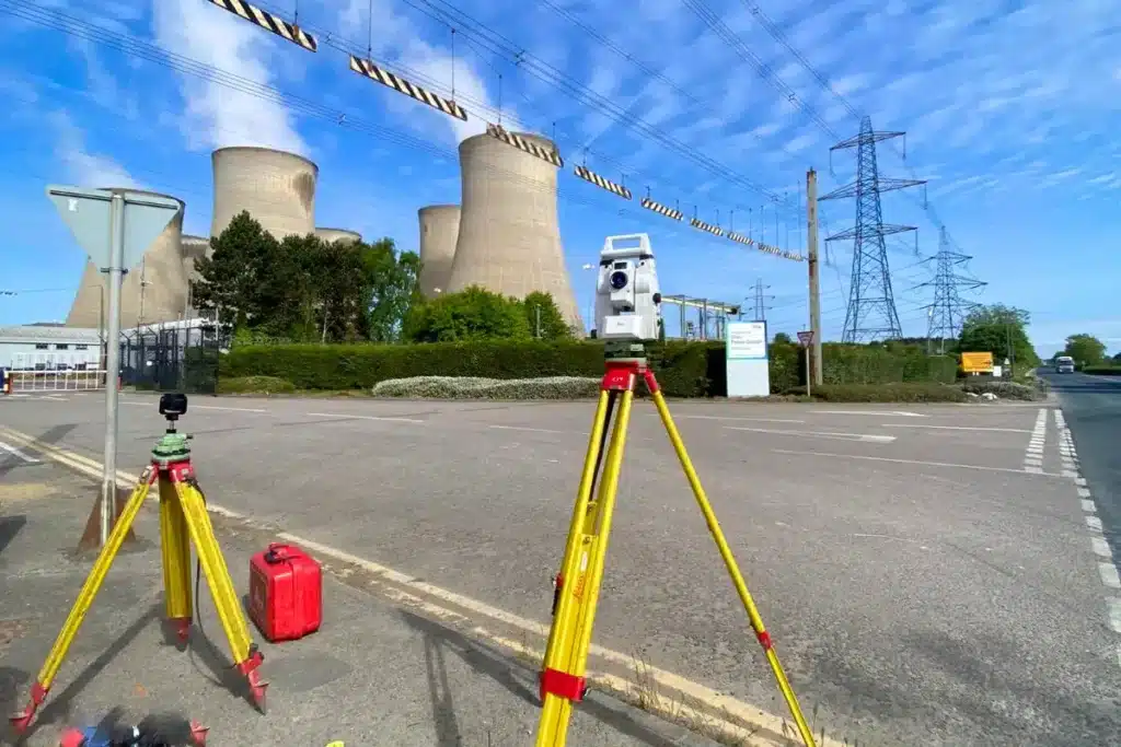
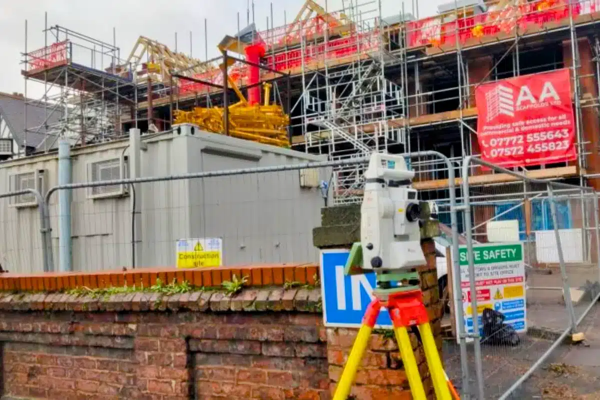
Industrial sites are some of the most complex environments to survey.
They’re large, active, and often contain restricted areas, heavy machinery, and safety-critical infrastructure. Every project must balance precision with practicality; keeping downtime minimal, maintaining safe operations, and ensuring that upgrades and expansions are built on verified data.
Whether you’re reconfiguring production lines, expanding storage capacity, or planning a retrofit to improve energy efficiency, even the smallest measurement error can cause costly downtime or compliance issues.
Why Accuracy Matters...
Accurate survey data ensures every modification, extension, or installation is built on certainty. It allows clients to:
Plan safely and efficiently
avoiding clashes between new and existing structures or M&E systems.
Maintain compliance
with health, safety, and building regulations.
Visualise complex environments
with 3D data that supports design coordination and asset management.
Minimise downtime
during construction or refurbishment by enabling precise planning and sequencing.
Futureproof operations
through digital records and BIM models for long-term facility management.
The Solution
We provide a range of surveying services tailored to environmental and energy projects:
Proven track record across energy, logistics, and manufacturing sectors.
Innovation in Action
Using 3D laser scanning and SLAM technology, we capture millions of data points within hours, even in confined or complex industrial areas.
These digital twins allow teams to visualise every asset, duct, and beam with millimetre accuracy, reducing the need for site visits and ensuring that refurbishment or expansion works proceed without disruption.
Engineering the Future of Industry
Every successful industrial project depends on precision.
Our role is to provide the clarity, confidence, and control needed to deliver complex engineering works – safely, efficiently, and without compromise.


 Leeds
Leeds Doncaster
 Sheffield
 Bradford
 Hull
Hull Halifax
 Sunderland
 Newcastle
 Middlesborough
 Yorkshire Moors
 Teesside
 Cumbria
 Harrogate
 Teesdale
 York
York Yorkshire Dales
 Northumberland
 Goole
Goole Carlisle
 Keswick
 Kendal
 Barrow-in-Furness
 Lancaster
 Blackpool
 Morecambe
 Southport
 Liverpool
 Wigan
Wigan Manchester
 Blackburn
 Burnley
 Forest of Bowland
 Oldham
 Chester
 Stockport
 Peak District
 Skipton
 Crewe
Crewe Rotherham
 Stoke
Stoke Driffield