Tri-Tech’s innovation and desire to succeed are second to none. Large projects, extreme terrain, complex requirements, … they literally float our boat.
Tri-Tech is an innovative Surveying and Site Engineering company which offers Land and Engineering Surveying Services in Yorkshire and across Northern England.
Tri-Tech is a leading provider of land surveying and engineering surveying services in Yorkshire and across the North of England. We support construction, infrastructure, environmental and development projects with high-accuracy survey data and reliable on-site expertise.
As experienced land surveyors in Yorkshire, we operate across both the public and private sectors, delivering precise topographical surveys, measured building surveys, utility mapping, laser scanning and site engineering services using the latest surveying technology.
Established in 2005, Tri-Tech has grown into one of the region’s most respected surveying and engineering companies. Our team provides specialist knowledge in surveying, mapping and site engineering for projects throughout Yorkshire and across the UK.
We have built a strong reputation for delivering accurate, dependable survey data that forms the foundation of successful planning, design and construction.
From small residential developments to major infrastructure schemes, we have the experience, resources and in-house capability to deliver surveying solutions of any scale.
Our highly skilled surveyors provide:
expertise
in choosing the right scanning method for every project
High-accuracy
3D data capture and processing
national
coverage with based in Yorkshire
Professional
clear and client-ready deliverables
support
throughout your entire project
If you’re looking for experienced land surveyors in Yorkshire or comprehensive surveying services across the region, Tri-Tech is ready to support your next project.
Tri-Tech work for a variety of different clients on different projects, and we pride ourselves on delivering accurate, efficient, cost effective surveys ensuring our clients receive the best possible product.
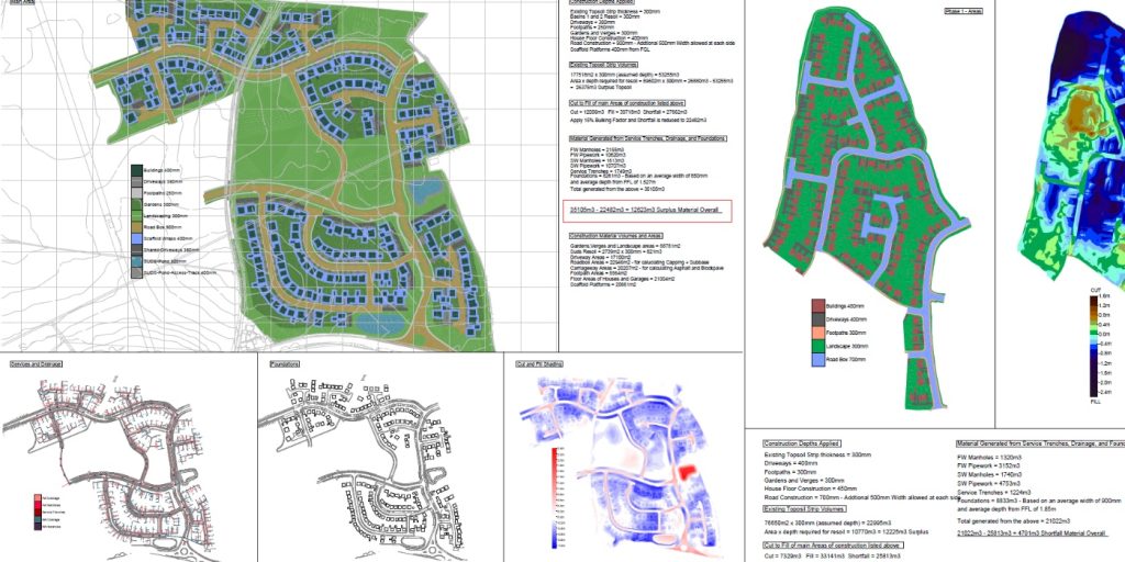
Using the latest equipment, we can provide the location of underground services in either 2D or 3D. We use state of the art Ground Penetrating Radar and Electromagnetic Location to assist your project when service avoidance may be a potential issue on site.
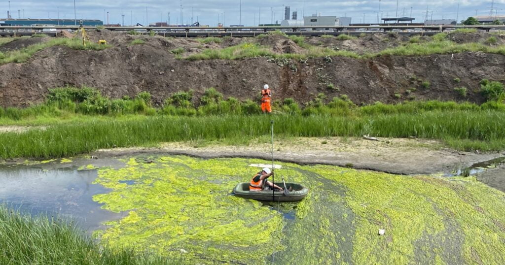
Is there any movement? That is the question that is asked before and during any monitoring scheme. That is the reason we undertake monitoring, to check for movement.
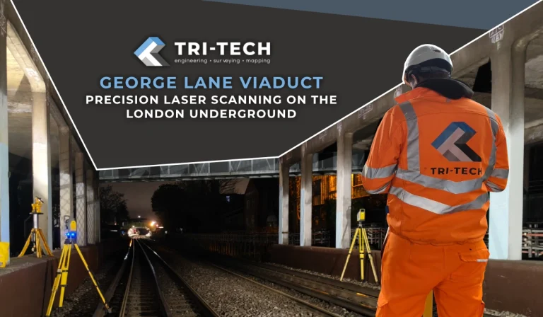
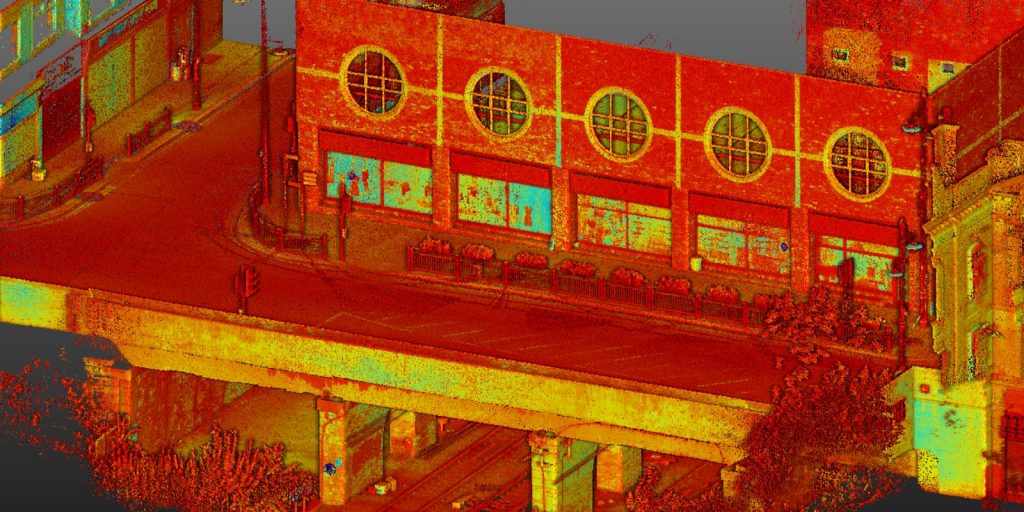
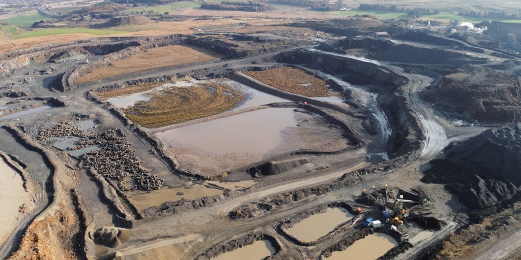
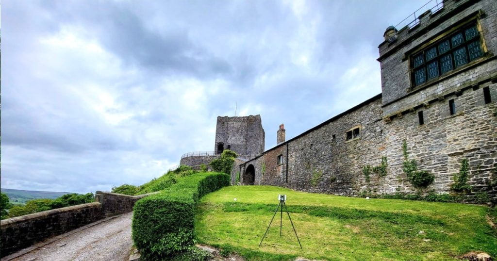
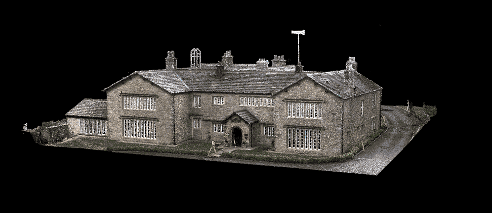
For mass collection of accurate survey data then nothing beats scanning. Using 3D laser Scanners the surveyors can capture millions of points per second with the creation of a PointCloud.
Bread and butter work for us! Having a strong relationship with many civil engineering companies we have a very strong team of Site Engineers and Engineering Surveyors working for us.
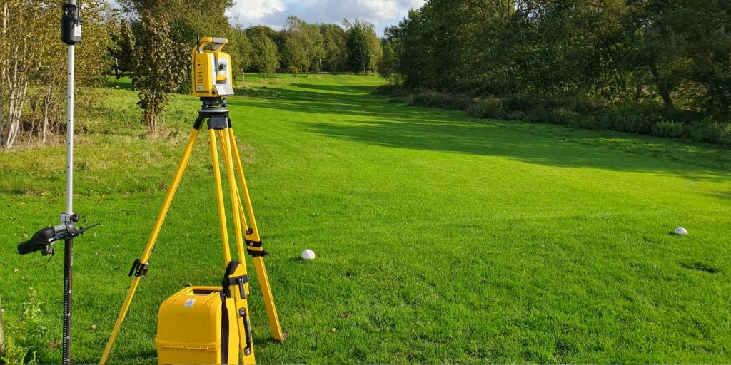
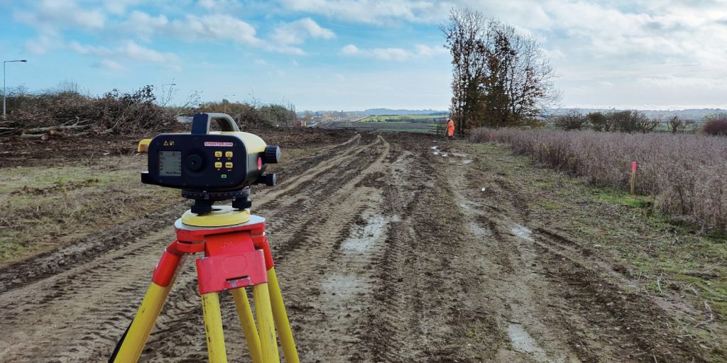
At Tri-Tech we have vast experience in this field. Be it a large highway scheme or a private property we can advise on what accuracies are required from your control network depending on what work you are carrying out and the tolerances you are carrying this work out to.
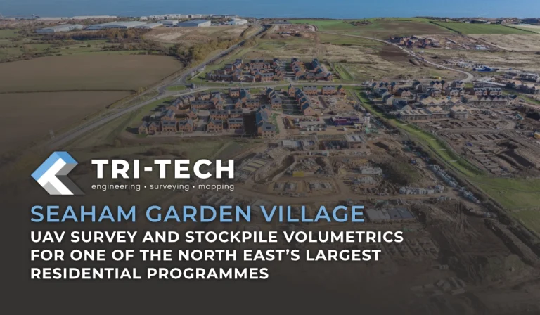
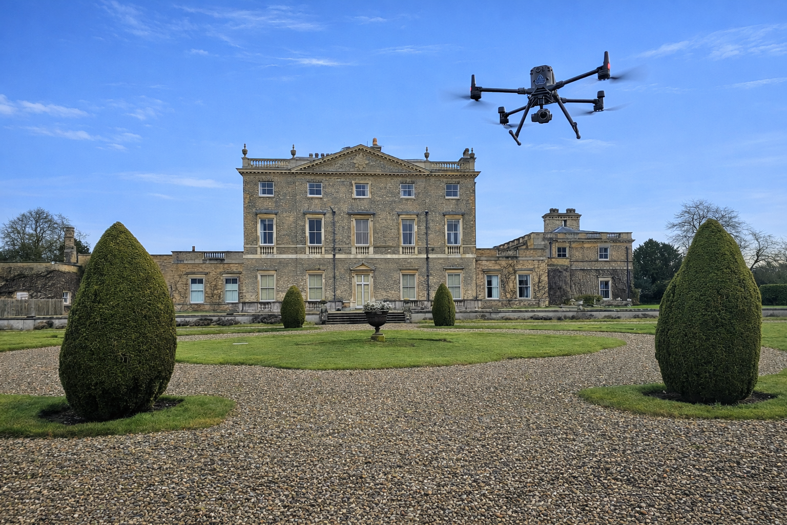
Large areas of ground can be covered capturing the most unbelievable detail which would just be unable to be recorded with traditional methods. Our clients have really seen the benefit of what UAV surveys bring to the table.
Tri-Tech work for a variety of different clients on different projects, and we pride ourselves on delivering accurate, efficient, cost effective surveys ensuring our clients receive the best possible product.
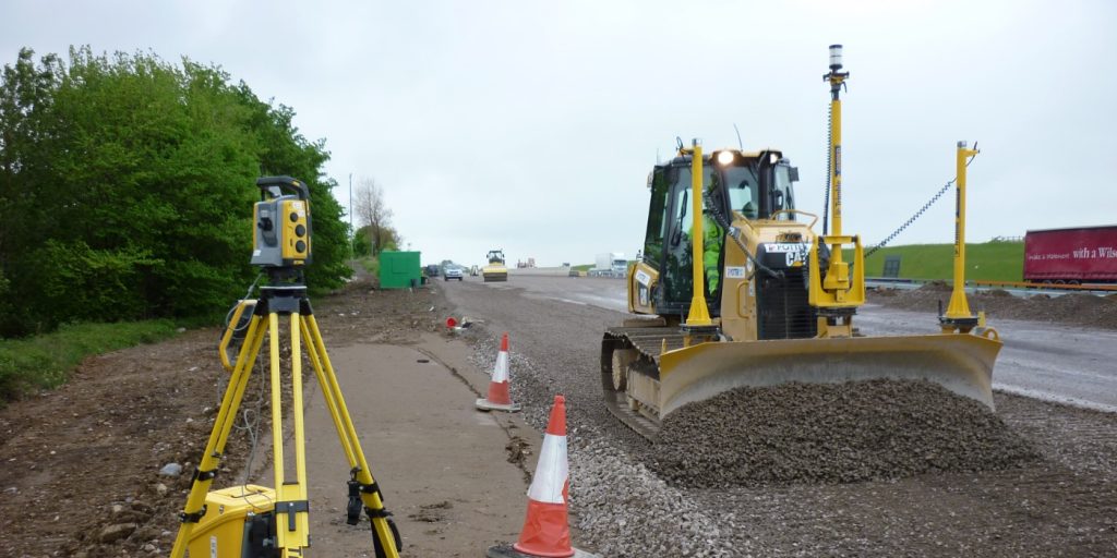
Machine control systems have been around for years now and Tri-tech have been utilising these systems from the very start. We realised the benefits of these systems early on when working with earthworks contractors.
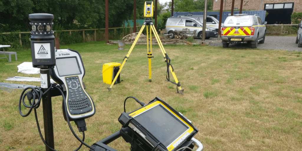
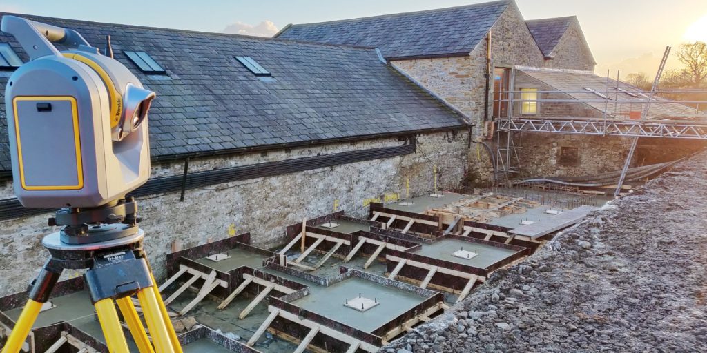
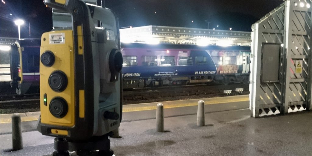
Being a leader in the Surveying and Engineering sector we have a fleet of modern survey equipment at our disposal which is second to none. We carry the latest GNSS Base Stations, GNSS Rovers, Robotic Total Stations, Laser Scanners, Digital Levels, and Dual Grade Lasers.
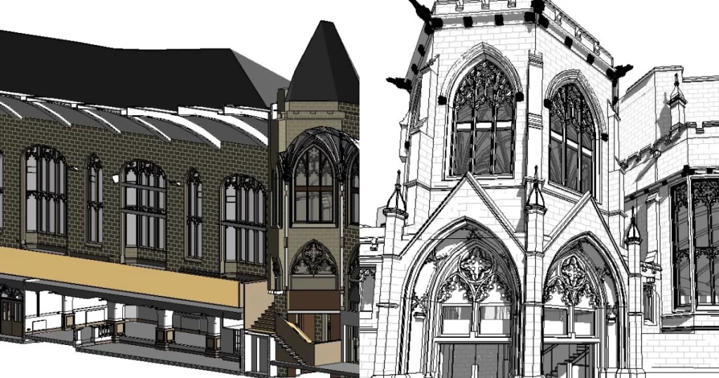
BIM (Building Information Modelling) model creation in surveying refers to the process of using specialised software to create a 3D digital model of a building or infrastructure project that includes information about the project’s design, construction, and maintenance.
Virtual Tour 3D is an immersive experience which instantly transports your clients to your business, and guides them through your space, creating a seamless and captivating experience.
We have recently used the lidar and survey services of Tri Tech on a feature film
They have been efficient and responsive to our requirements and I would not hesitate in using or recommending them for future work.
Many thanks to Jack and the Tri Tech team
Paul Ghirardani
As an Earthworks Contractor with sites spread across the North East and Yorkshire, we use Tri-Tech to undertake all of our Topographical Surveys, Volumetric Analysis, and 3D Machine Control; from model creation to site calibration and base station hire. Ted and his Engineers have always provided an extremely professional, efficient, and accurate service and I would highly recommend them without hesitation.


 Leeds
Leeds Doncaster
 Sheffield
 Bradford
 Hull
Hull Halifax
 Sunderland
 Newcastle
 Middlesborough
 Yorkshire Moors
 Teesside
 Cumbria
 Harrogate
 Teesdale
 York
York Yorkshire Dales
 Northumberland
 Goole
Goole Carlisle
 Keswick
 Kendal
 Barrow-in-Furness
 Lancaster
 Blackpool
 Morecambe
 Southport
 Liverpool
 Wigan
Wigan Manchester
 Blackburn
 Burnley
 Forest of Bowland
 Oldham
 Chester
 Stockport
 Peak District
 Skipton
 Crewe
Crewe Rotherham
 Stoke
Stoke Driffield