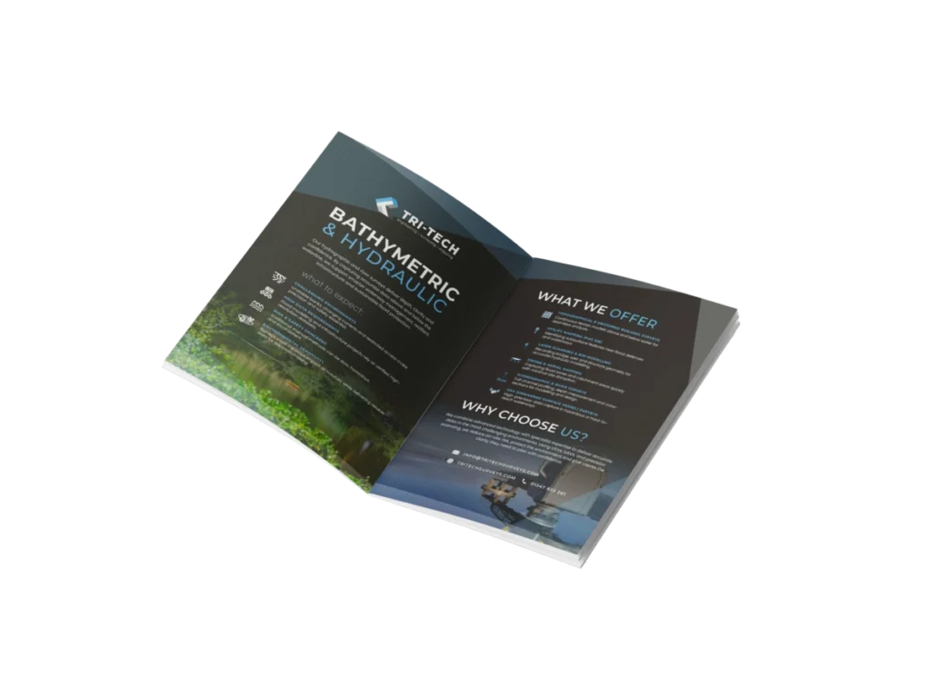
Supporting engineers, consultants and authorities with precise underwater and hydrographic mapping.
Our hydrographic and river surveys provide the reliable data needed to manage waterways, protect infrastructure and support sustainable flood resilience safely and accurately.
Managing unstable banks, changing currents and limited access while maintaining absolute precision.
Riverbanks can be unstable, currents unpredictable, and access limited yet the accuracy of hydraulic data is critical to flood modelling, watercourse management and civil engineering design.
Traditional methods can be slow, unsafe and inconsistent. Today’s environmental, infrastructure and energy projects demand fast, high-resolution datasets captured with minimal disruption and maximum reliability.
Why Accuracy Matters...
Every measurement, level and coordinate influences the success of the final build.
Accurate, coordinated survey data ensures that construction moves forward with confidence, allowing teams to:
Build safely
ensuring structures, excavations, and utilities align to design tolerances.
Reduce delays
avoiding rework and costly downtime caused by inaccurate or incomplete data.
Improve collaboration
providing unified datasets that integrate seamlessly with design, engineering, and BIM platforms.
Meet compliance standards
delivering verifiable records for QA, as-builts, and handover documentation.
Optimise efficiency
reducing repeat visits, downtime, and reliance on multiple contractors.
The Solution
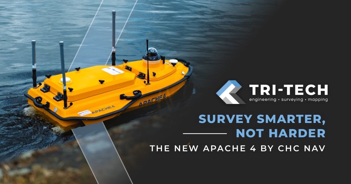
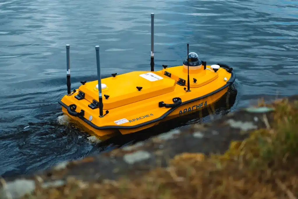
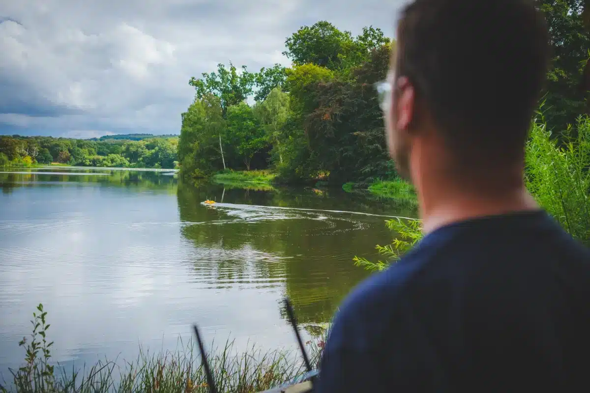
Combining automated USVs, GNSS and LiDAR scanning to produce accurate, efficient hydrographic data.
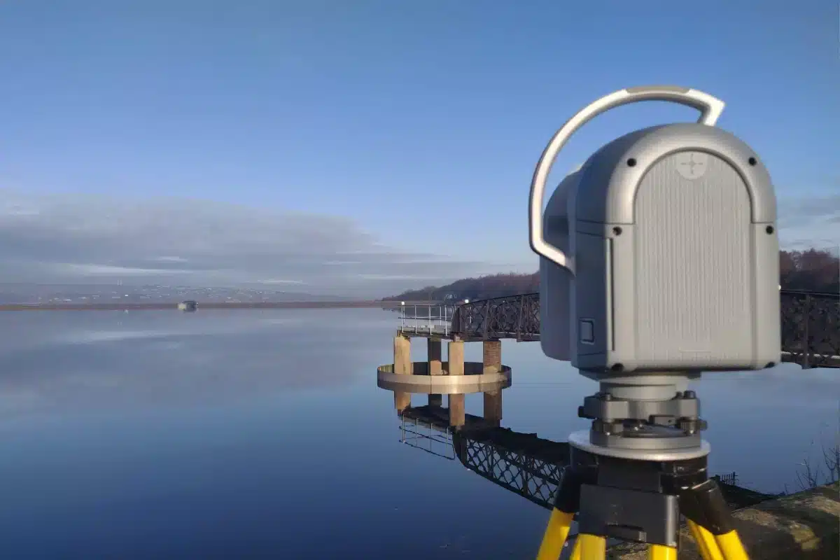
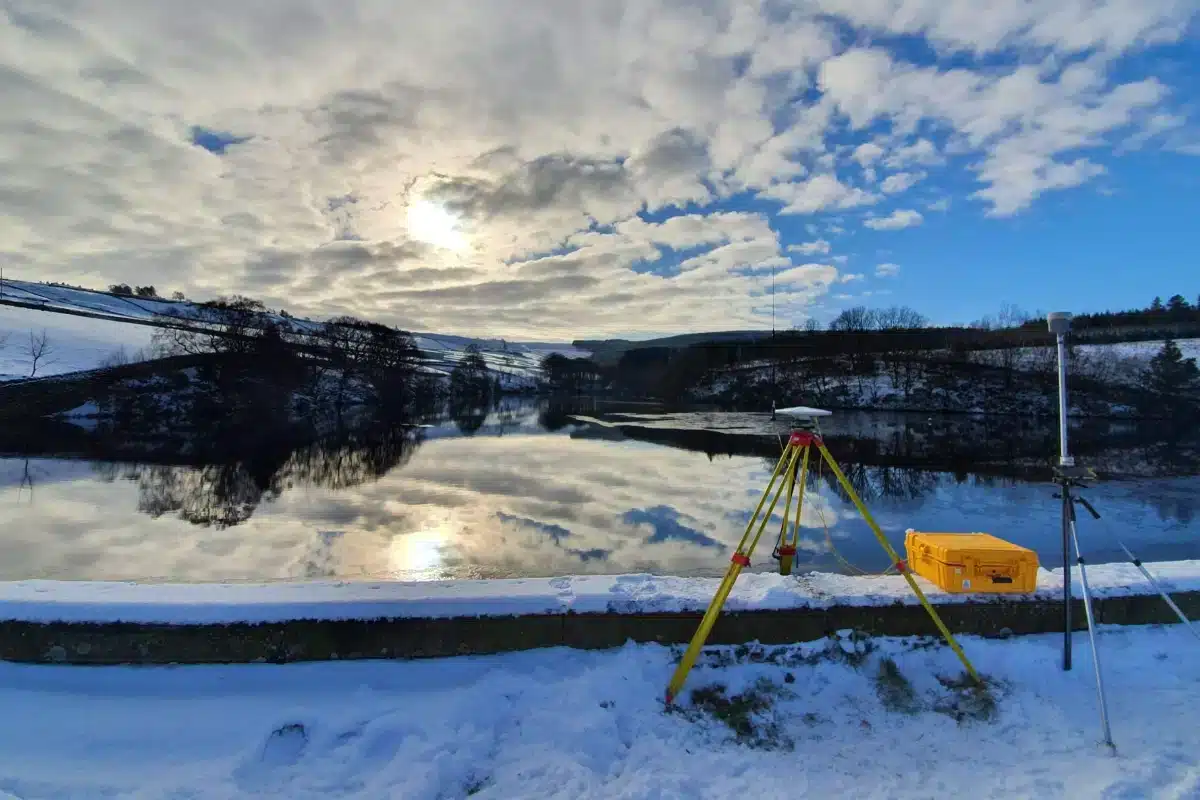
CHC i93 GNSS + Controller – establishing control networks with centimetre accuracy.
Trimble X7 Laser Scanner – for structural geometry and bridge asset capture.
Integrated CAD & GIS processing – providing clients with models compatible with hydraulic and environmental simulation software.
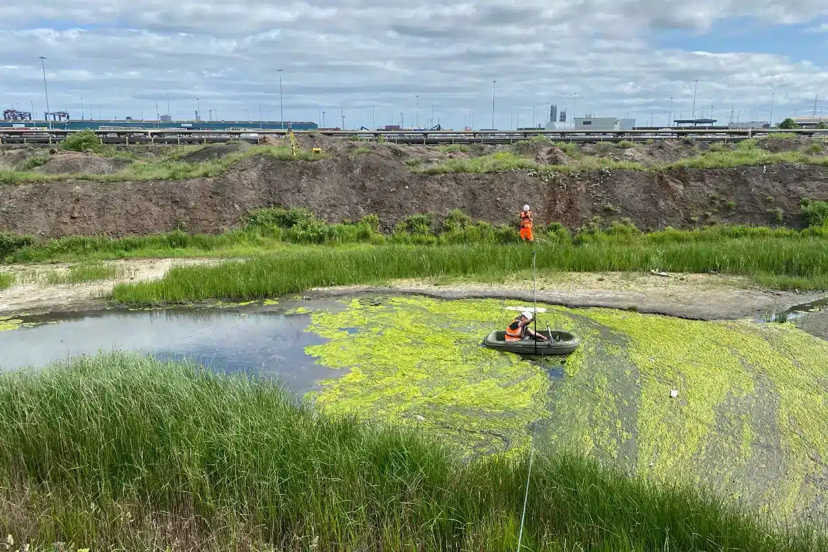
Commitment to Safety & Environment
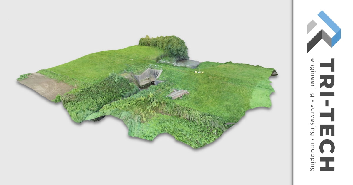
Providing clients with accurate 3D models ready for hydrographic, environmental and civil engineering analysis.
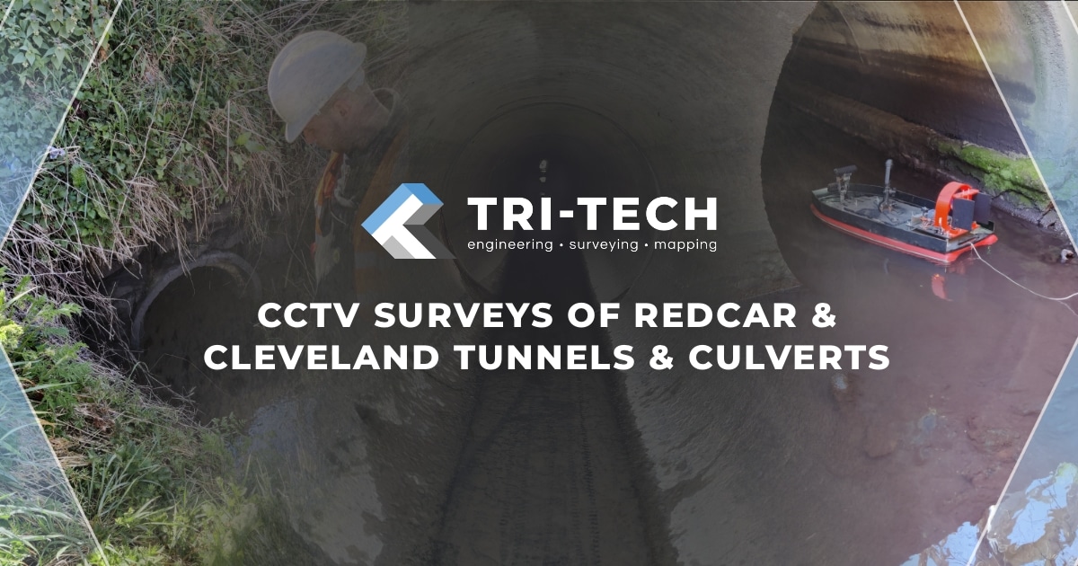
From remote-controlled USVs to drone reconnaissance, our methods reduce site risk while maintaining full environmental compliance.
Our work contributes directly to sustainable water management, helping clients make informed decisions that protect habitats and mitigate flood impact.
Download our bathymetric & hydrographic mini Brochure


 Leeds
Leeds Doncaster
 Sheffield
 Bradford
 Hull
Hull Halifax
 Sunderland
 Newcastle
 Middlesborough
 Yorkshire Moors
 Teesside
 Cumbria
 Harrogate
 Teesdale
 York
York Yorkshire Dales
 Northumberland
 Goole
Goole Carlisle
 Keswick
 Kendal
 Barrow-in-Furness
 Lancaster
 Blackpool
 Morecambe
 Southport
 Liverpool
 Wigan
Wigan Manchester
 Blackburn
 Burnley
 Forest of Bowland
 Oldham
 Chester
 Stockport
 Peak District
 Skipton
 Crewe
Crewe Rotherham
 Stoke
Stoke Driffield