Helping farms, estates and rural projects make informed, data-driven land management decisions.
From family-owned farms to large estate projects, our surveys give landowners, planners and contractors the clarity to make confident, informed decisions about their land.
Overcoming vast boundaries, uneven terrain and limited infrastructure with precision and reliability.
Boundaries often stretch across varied terrain, infrastructure can be limited, and land use has to balance productivity, biodiversity and sustainability. Whether it’s planning a new agricultural building, upgrading drainage or assessing flood risk, reliable site data is essential to ensure every decision is grounded in fact and not assumption.
Why Accuracy Matters...
For landowners and rural developers, accuracy underpins efficiency, safety and long-term value:
Plan with confidence
clear site data supports effective design and planning approval.
Protect the landscape
ensure drainage, irrigation and access routes work in harmony with the environment.
Avoid disputes
verified boundaries and features prevent costly legal or neighbour issues.
Maximise yield and investment
accurate terrain models and mapping inform smarter land management decisions.
Our Solutions
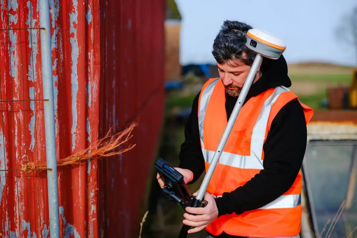
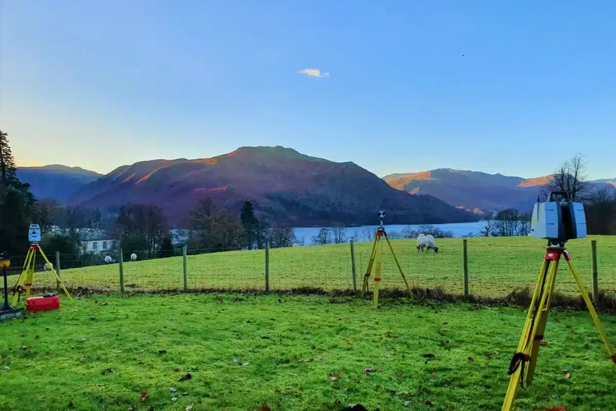
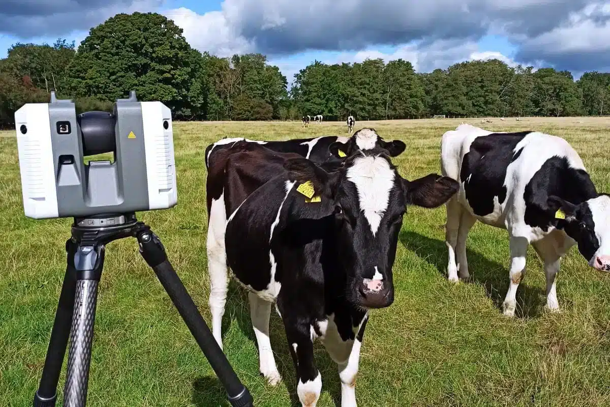
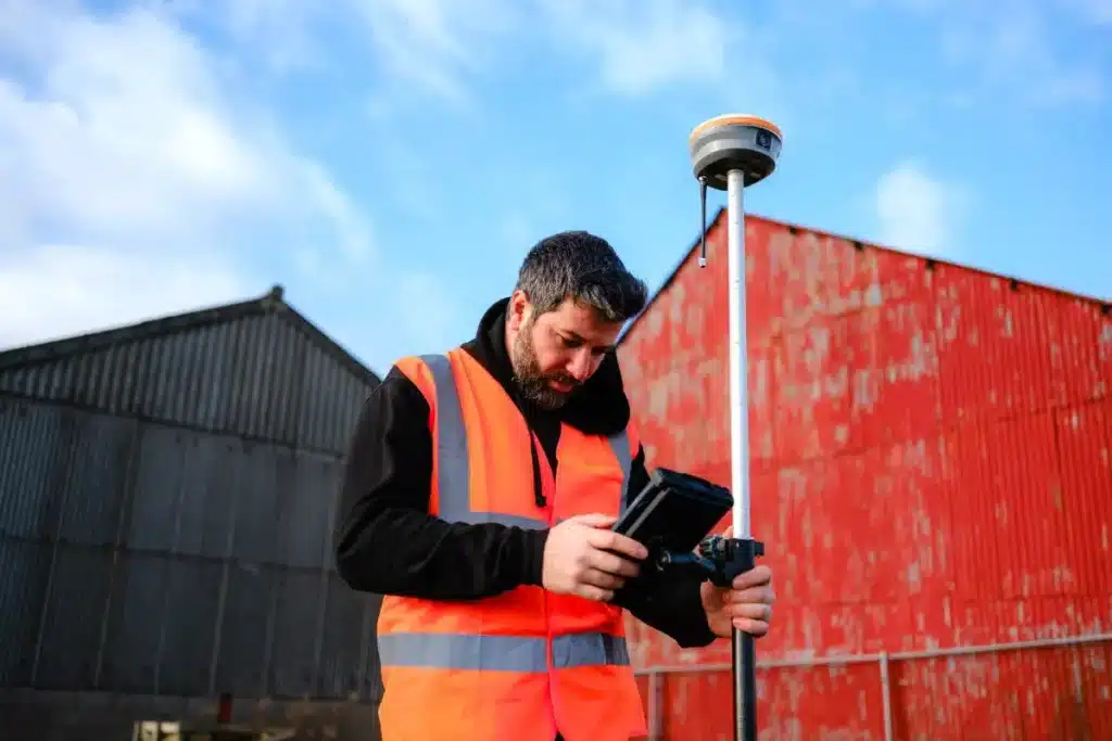
Leveraging GNSS, LiDAR, UAVs and laser scanning to capture data efficiently across remote terrain.
We adapt our methods to the site, from quad-mounted scanners to UAV LiDAR, ensuring precision in any environment.
Technology That Delivers Precision
Our investment in advanced tools such as...
…the CHC i73 GNSS, RS10 SLAM Scanner and Trimble X7 Laser Scanner means we can capture data quickly and accurately, even in remote or uneven terrain. Drone photogrammetry and LiDAR surveys allow rapid mapping of large rural areas with minimal environmental impact.
Commitment to Sustainability & Stewardship
Supporting biodiversity and carbon reduction through responsible, low-impact survey practices.
By using low-impact survey techniques, minimising repeat site visits through multi-discipline capture, and supporting sustainable land management, we help protect rural landscapes while enabling responsible growth.


 Leeds
Leeds Doncaster
 Sheffield
 Bradford
 Hull
Hull Halifax
 Sunderland
 Newcastle
 Middlesborough
 Yorkshire Moors
 Teesside
 Cumbria
 Harrogate
 Teesdale
 York
York Yorkshire Dales
 Northumberland
 Goole
Goole Carlisle
 Keswick
 Kendal
 Barrow-in-Furness
 Lancaster
 Blackpool
 Morecambe
 Southport
 Liverpool
 Wigan
Wigan Manchester
 Blackburn
 Burnley
 Forest of Bowland
 Oldham
 Chester
 Stockport
 Peak District
 Skipton
 Crewe
Crewe Rotherham
 Stoke
Stoke Driffield