


 Leeds
Leeds
 Doncaster
 Sheffield
 Bradford
 Hull
Hull
 Halifax
 Sunderland
 Newcastle
 Middlesborough
 Yorkshire Moors
 Teesside
 Cumbria
 Harrogate
 Teesdale
 York
York
 Yorkshire Dales
 Northumberland
 Goole
Goole
 Carlisle
 Keswick
 Kendal
 Barrow-in-Furness
 Lancaster
 Blackpool
 Morecambe
 Southport
 Liverpool
 Wigan
Wigan
 Manchester
 Blackburn
 Burnley
 Forest of Bowland
 Oldham
 Chester
 Stockport
 Peak District
 Skipton
 Crewe
Crewe
 Rotherham
 Stoke
Stoke
 Driffield

A nationwide surveying and engineering company operating in both the public and private sectors.

Read about our Surveying Services, which include Topographical Services, Utility Mapping and Monitoring Campaigns.

We have created some answers to a series of questions which explains a little more about our services.
Head Office
North West Office
Glasgow Office
Bedford Office
Bedford Office
From wetlands and rivers to renewable energy sites, our surveys provide the clarity needed to balance environmental protection with project delivery.
strict sustainability targets, sensitive habitats and the constant demand for reliable, compliant data. From wetlands and rivers to wind farms and solar arrays. Even the smallest error can cause delays, increase costs, or risk environmental harm.
reducing environmental impact.
based on terrain, drainage, and habitats.
caused by inaccurate ground data.
with precise, verifiable information.
by monitoring long-term environmental change.
Topographical Surveys →

Mapping ground conditions for habitat restoration, drainage design, and site planning.
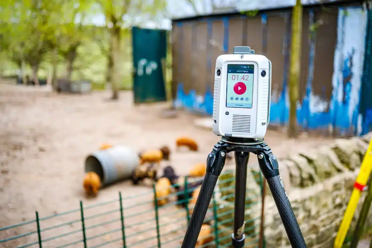
Laser Scanning & BIM Models →

Recording existing structures such as energy facilities for retrofit, expansion, or compliance upgrades.
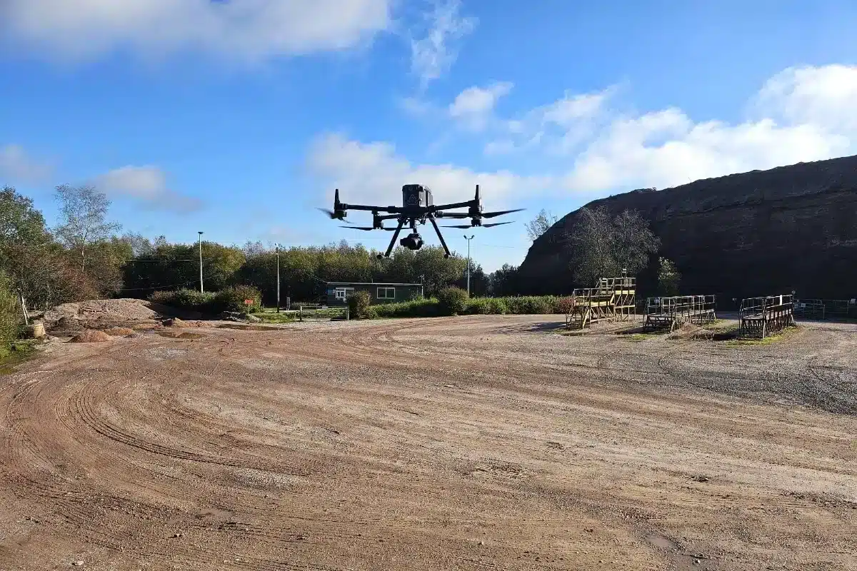
Drone & Aerial Surveys →

Rapid data capture across wetlands, wind farms, and solar sites with minimal disturbance to wildlife.
Utility Mapping (PAS 128) →

Locating underground services prior to renewable infrastructure installation.
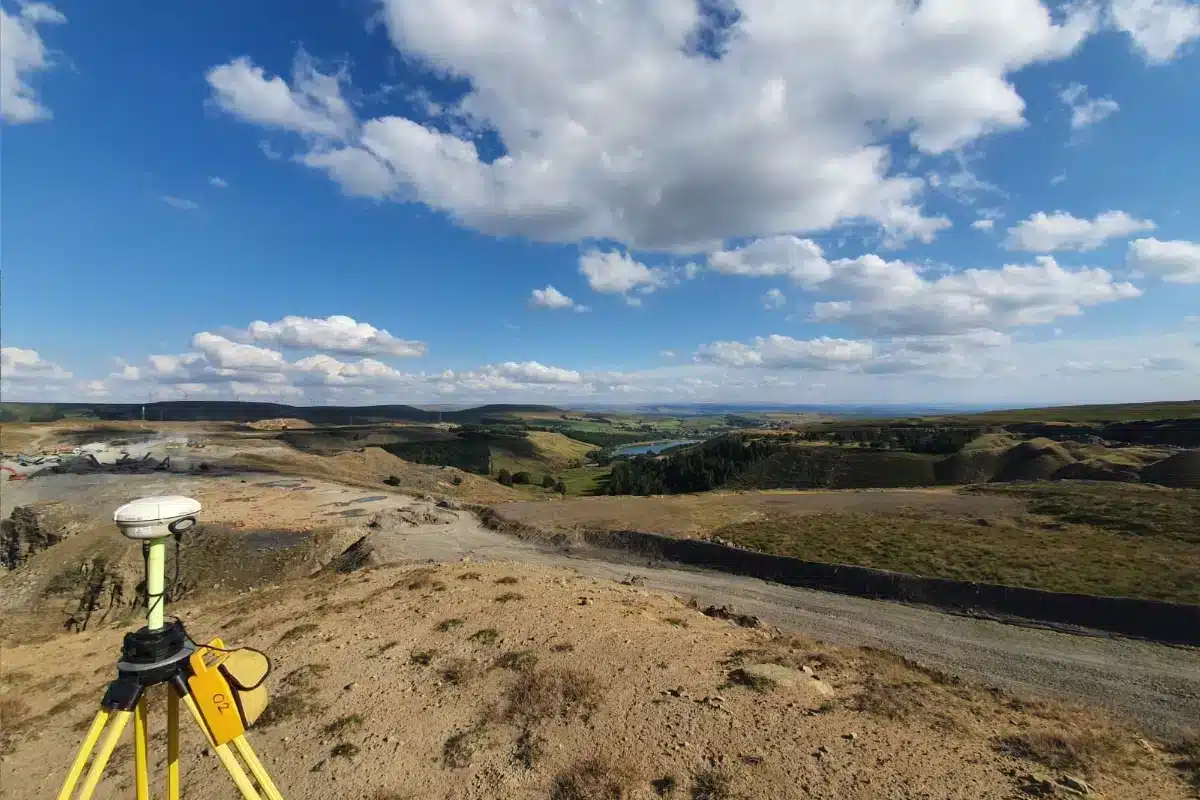
Hydrographic & River Surveys

Using USVs and GPS to safely capture channel profiles, flow conditions, and flood risk data.

Mapping ground conditions for habitat restoration, drainage design, and site planning.

Recording existing structures such as energy facilities for retrofit, expansion, or compliance upgrades.

Rapid data capture across wetlands, wind farms, and solar sites with minimal disturbance to wildlife.

Locating underground services prior to renewable infrastructure installation.

Using USVs and GPS to safely capture channel profiles, flow conditions, and flood risk data.
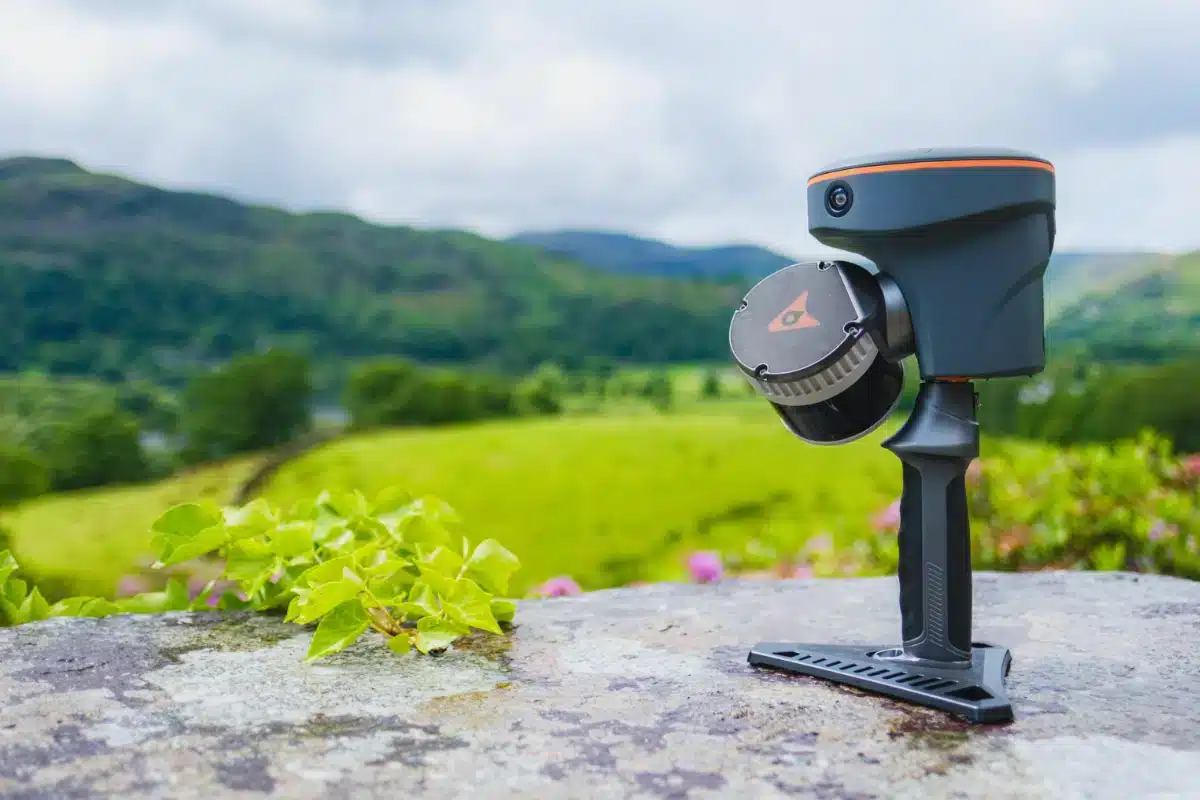
Our investment in advanced technology, from the CHC RS10 SLAM scanner to UAV platforms with LiDAR and hydrographic drones allows us to deliver datasets that were previously impossible in challenging environments. This innovation reduces site time, minimises disruption to sensitive ecosystems, and ensures every decision is built on certainty.
Whether it’s supporting biodiversity net gain, reducing carbon emissions through efficient survey methods, or helping clients meet regulatory obligations, our job is to collect precise data while also protecting environments and enabling development.
As the UK transitions towards renewable energy and climate-resilient infrastructure, accurate surveying is the foundation. We see our role as partners shaping the future of sustainable development, providing the clarity and confidence needed to balance growth with environmental care.