Meeting strict budgets, complex procurement demands and public accountability with precision.
…tight constraints, strict budgets, complex procurement processes, and the need to balance cost efficiency with public accountability.
From healthcare facilities to transport hubs and educational campuses, every project must meet demanding standards for safety, sustainability, and accessibility.
Local authorities and public bodies need survey partners who combine technical precision, proven reliability, and a collaborative approach, ensuring projects are delivered right the first time, every time.
Precise data is the foundation for creating environments that support care, learning, and community wellbeing. With reliable survey information, clients can:
Projects meet compliance and safety standards
essential for government-funded schemes.
Designs are efficient and sustainable
maximising public investment through better resource use.
Procurement runs smoothly
with verified data supporting feasibility, design, and construction tenders.
Maintenance is simplified
through detailed, long-term datasets that support future upgrades and facility management.
Public disruption is minimised
with accurate, efficient surveying reducing site time and repeat visits.
The Solution
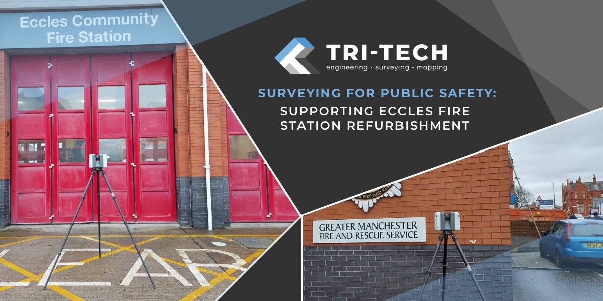
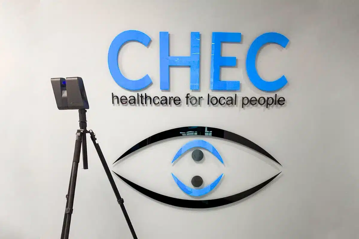
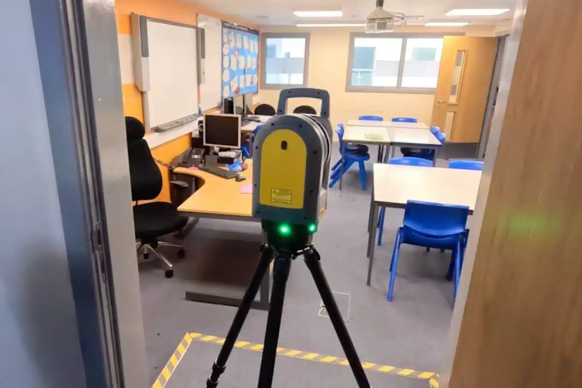
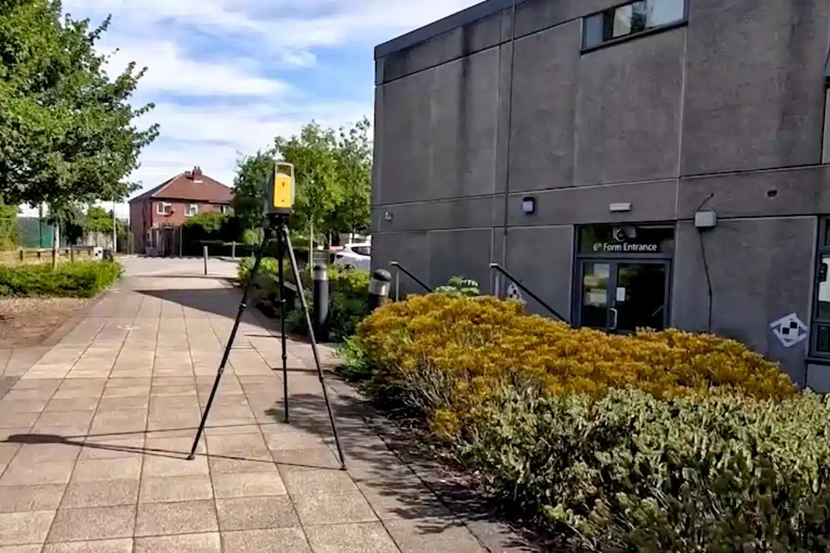
Helping design and maintain schools, hospitals, and civic buildings that serve future generations.
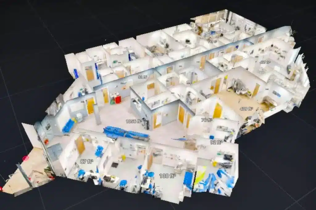
Harnessing laser scanning, SLAM mapping, and UAV LiDAR to deliver precision with minimal disruption.
By combining traditional site expertise with technologies like laser scanning, SLAM mapping, and UAV LiDAR, we capture data with minimal disruption – ideal for operational schools, hospitals, and civic sites.
Our precision datasets support smarter design, carbon-conscious construction, and long-term asset management, helping councils and public bodies deliver greater value with fewer resources.
Public Projects Built on Trust
Empowering safer, smarter and more sustainable community development through precision surveying.
We’re proud to support the UK’s public sector with precision, care, and the commitment it takes to deliver projects that shape communities and serve future generations.
“Site Surveying Services provided the level of detail and accuracy we needed to plan with confidence while keeping disruption to a minimum. Their expertise gave us peace of mind at every stage.”


 Leeds
Leeds Doncaster
 Sheffield
 Bradford
 Hull
Hull Halifax
 Sunderland
 Newcastle
 Middlesborough
 Yorkshire Moors
 Teesside
 Cumbria
 Harrogate
 Teesdale
 York
York Yorkshire Dales
 Northumberland
 Goole
Goole Carlisle
 Keswick
 Kendal
 Barrow-in-Furness
 Lancaster
 Blackpool
 Morecambe
 Southport
 Liverpool
 Wigan
Wigan Manchester
 Blackburn
 Burnley
 Forest of Bowland
 Oldham
 Chester
 Stockport
 Peak District
 Skipton
 Crewe
Crewe Rotherham
 Stoke
Stoke Driffield