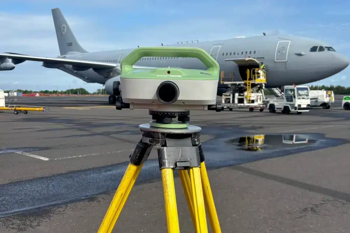
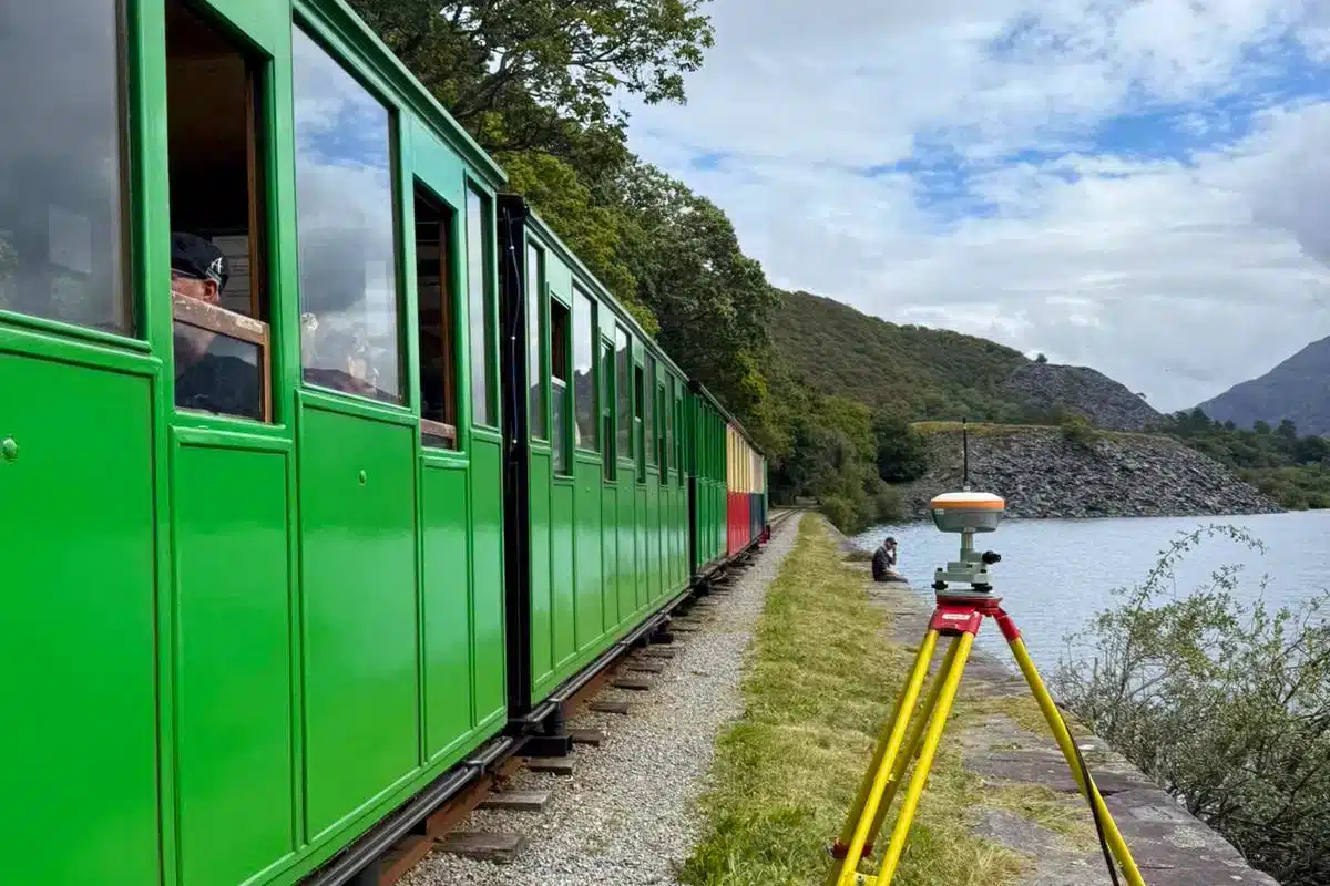
From new transport links and road improvements to bridges and airport runways, our surveys form the foundation of safe, efficient, and future-ready infrastructure.
Infrastructure projects operate in fast-paced, high-stakes environments where accuracy, coordination, and safety are non-negotiable.
Whether it’s a highway upgrade, bridge rehabilitation, or airfield resurfacing, every decision depends on reliable spatial data.
Even the smallest error in levels, alignment, or utilities can lead to costly rework, construction delays, and compromised safety.
Surveying partners must work seamlessly alongside contractors and engineers, providing data that performs under pressure and ensures that progress on the ground matches precision in design.
Fully qualified and compliant survey teams with a culture of risk management and operational awareness.
Innovation in Action
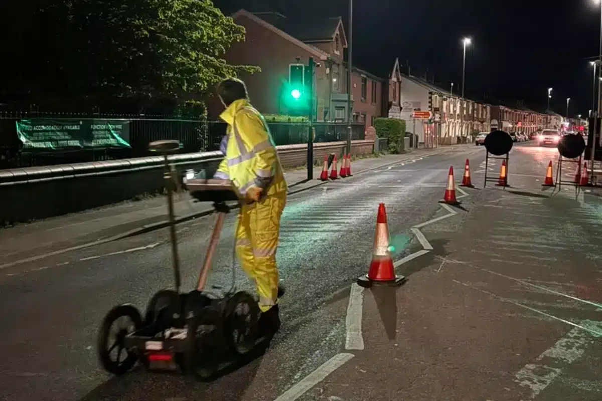
Infrastructure surveying demands accuracy and adaptability.
By combining traditional engineering expertise with advanced technologies like mobile scanning, UAV LiDAR, and automated 3D modelling, we capture vast, complex sites in record time while maintaining exceptional precision.
This innovation translates to fewer site visits, faster decision-making, and data that stands the test of time – vital for projects with long operational lifespans.
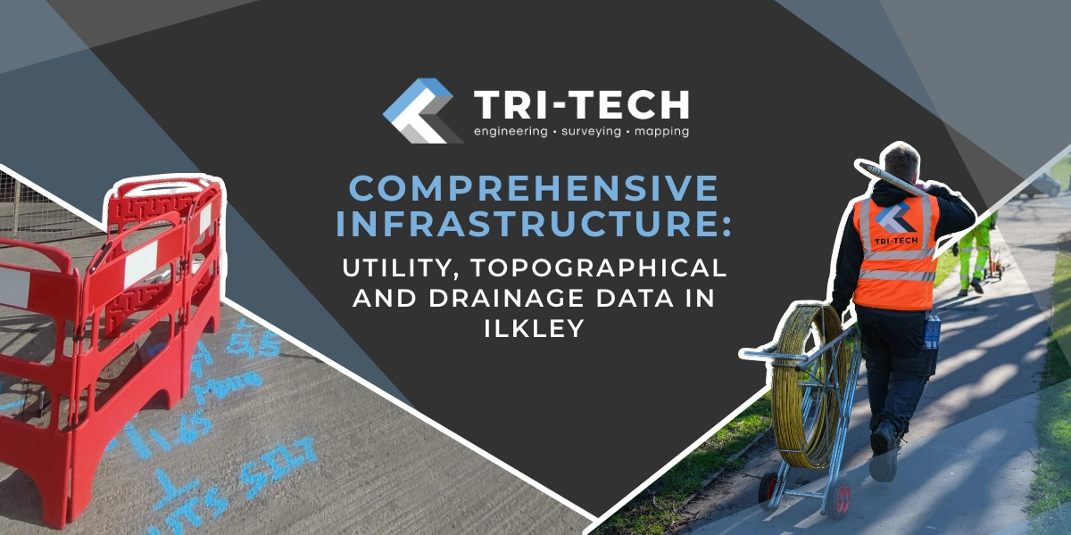
Supporting the Nation’s Infrastructure, One Project at a Time
Every road, runway, and railway depends on data that gets it right — first time.
We’re proud to support the UK’s critical infrastructure projects with precision, reliability, and an unwavering commitment to quality.


 Leeds
Leeds Doncaster
 Sheffield
 Bradford
 Hull
Hull Halifax
 Sunderland
 Newcastle
 Middlesborough
 Yorkshire Moors
 Teesside
 Cumbria
 Harrogate
 Teesdale
 York
York Yorkshire Dales
 Northumberland
 Goole
Goole Carlisle
 Keswick
 Kendal
 Barrow-in-Furness
 Lancaster
 Blackpool
 Morecambe
 Southport
 Liverpool
 Wigan
Wigan Manchester
 Blackburn
 Burnley
 Forest of Bowland
 Oldham
 Chester
 Stockport
 Peak District
 Skipton
 Crewe
Crewe Rotherham
 Stoke
Stoke Driffield