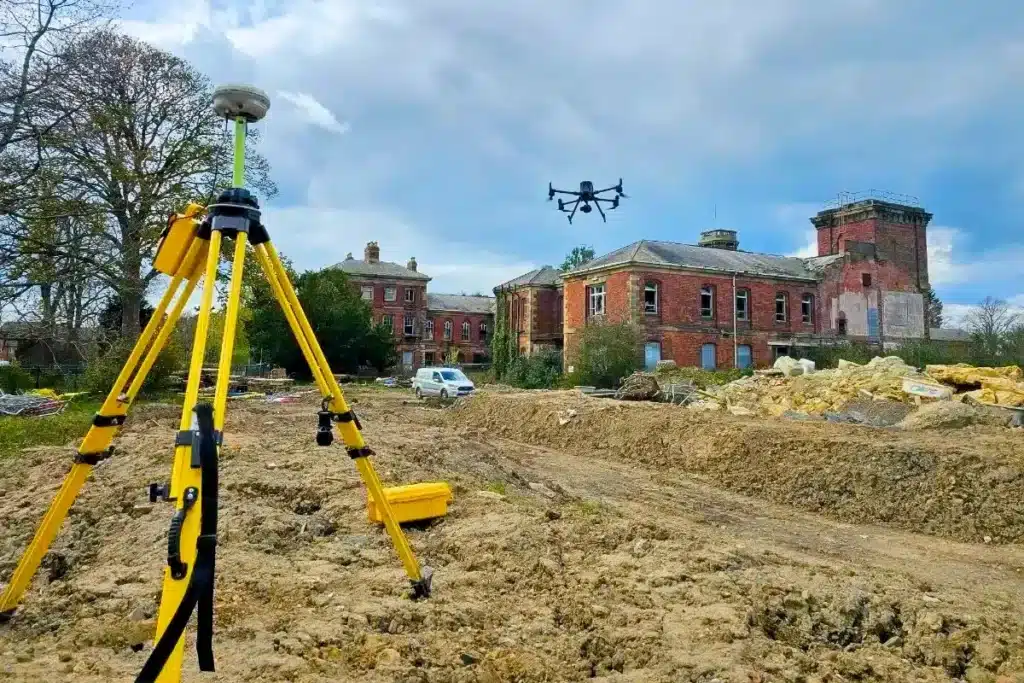
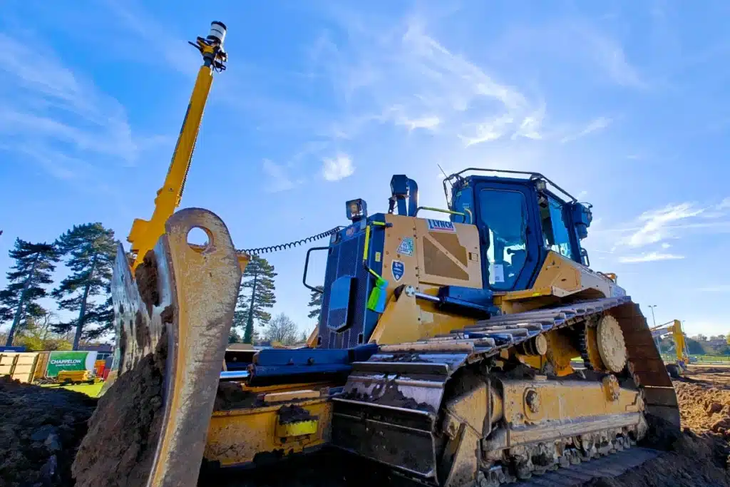
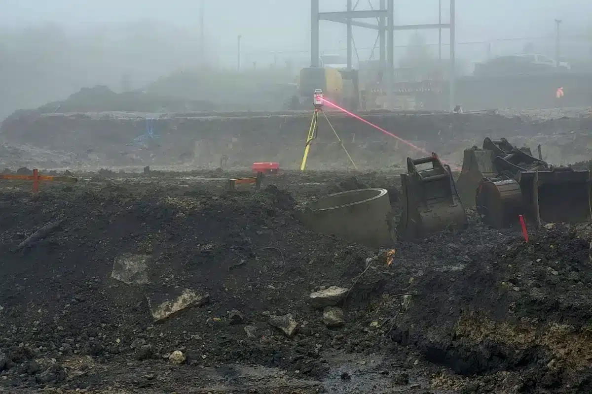
Every safe and successful demolition or remediation project begins with reliable, high-accuracy data. From site clearance and structural removal to ground remediation and redevelopment, our surveys deliver the insight needed to make informed decisions and manage risk with confidence.
Demolition and remediation projects carry inherent risks...
…from unstable structures and unknown utilities to environmental hazards and access restrictions.
Without accurate, up-to-date data, teams face uncertainty that can result in safety incidents, programme delays, or costly redesigns.
Developers and contractors need absolute clarity before works begin – an understanding of every structural, environmental, and subsurface condition that could impact safety and success.
All deliverables aligned within a unified control network for seamless integration into design stages.
Innovation in Action
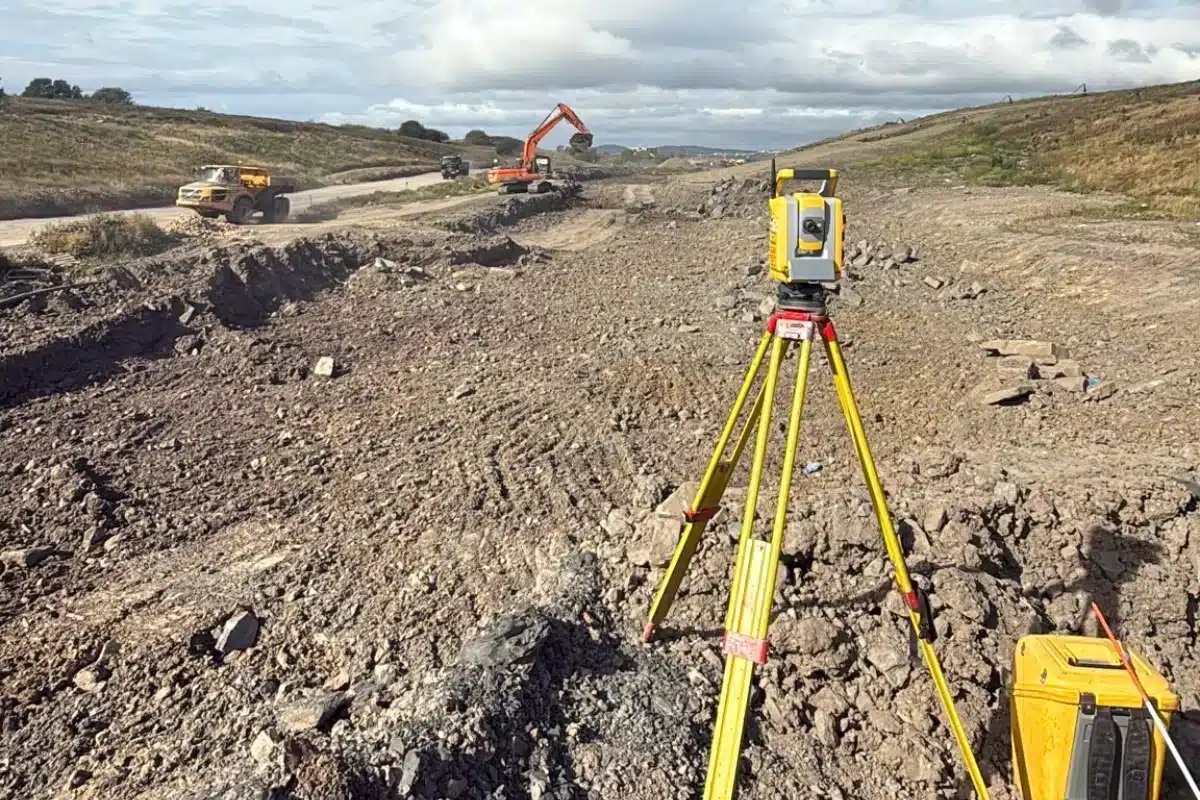
Through remote scanning, drone mapping, and integrated 3D models, we give clients visibility into sites that would otherwise be high-risk or inaccessible.
These technologies reduce the need for manual inspection, enable safer planning, and ensure compliance with environmental and demolition regulations – transforming how projects are managed from first survey to final clearance.
Clearing the Path for Safer, Smarter Development
Behind every successful redevelopment is a clear, accurate understanding of the ground and structures being worked on.
We’re proud to deliver the precision data that protects people, reduces risk, and prepares sites for the next chapter in their lifecycle.


 Leeds
Leeds Doncaster
 Sheffield
 Bradford
 Hull
Hull Halifax
 Sunderland
 Newcastle
 Middlesborough
 Yorkshire Moors
 Teesside
 Cumbria
 Harrogate
 Teesdale
 York
York Yorkshire Dales
 Northumberland
 Goole
Goole Carlisle
 Keswick
 Kendal
 Barrow-in-Furness
 Lancaster
 Blackpool
 Morecambe
 Southport
 Liverpool
 Wigan
Wigan Manchester
 Blackburn
 Burnley
 Forest of Bowland
 Oldham
 Chester
 Stockport
 Peak District
 Skipton
 Crewe
Crewe Rotherham
 Stoke
Stoke Driffield