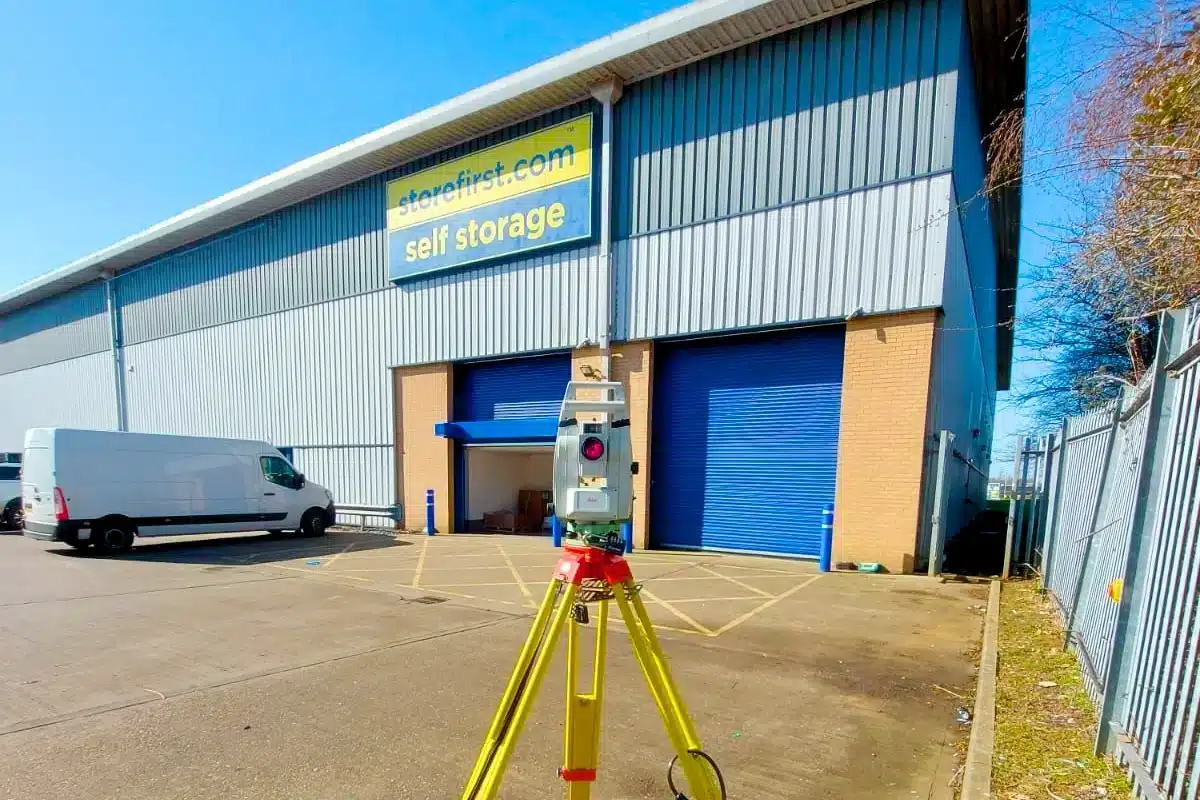
From retail and offices to leisure and mixed-use developments, our surveys give investors, developers, and design teams the clarity they need to make smart, confident commercial decisions from the ground up.
Commercial development is driven by return on investment - but every profitable project starts with reliable data.
From feasibility to construction, even a small inaccuracy in site levels, utilities, or structure can cause cost overruns, design errors, and delays that impact budgets and tenants alike.
Developers need survey partners who can move quickly without compromising on quality, adapt to complex sites, and deliver data that supports every stakeholder, from architects to investors.


 Leeds
Leeds Doncaster
 Sheffield
 Bradford
 Hull
Hull Halifax
 Sunderland
 Newcastle
 Middlesborough
 Yorkshire Moors
 Teesside
 Cumbria
 Harrogate
 Teesdale
 York
York Yorkshire Dales
 Northumberland
 Goole
Goole Carlisle
 Keswick
 Kendal
 Barrow-in-Furness
 Lancaster
 Blackpool
 Morecambe
 Southport
 Liverpool
 Wigan
Wigan Manchester
 Blackburn
 Burnley
 Forest of Bowland
 Oldham
 Chester
 Stockport
 Peak District
 Skipton
 Crewe
Crewe Rotherham
 Stoke
Stoke Driffield