Stockton Cycle Path Utility Mapping and Topographical Survey
OVERVIEW:
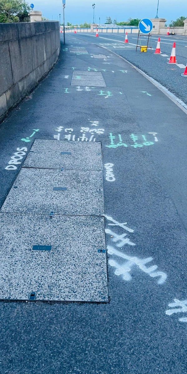
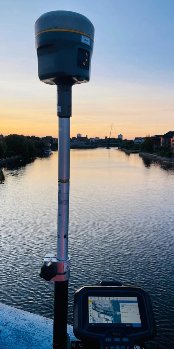
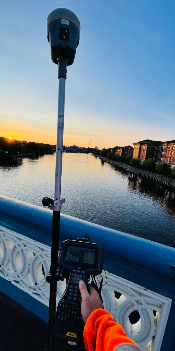
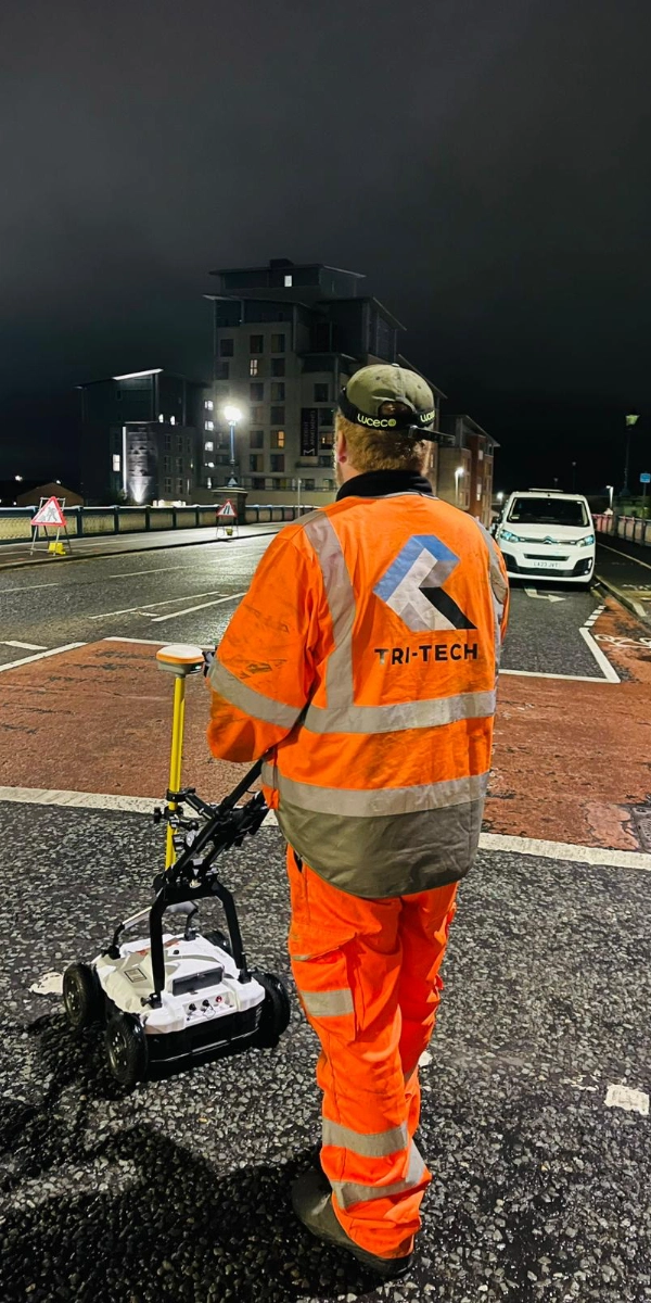
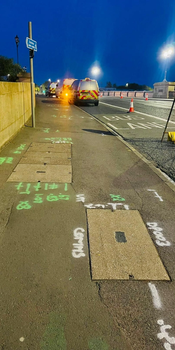
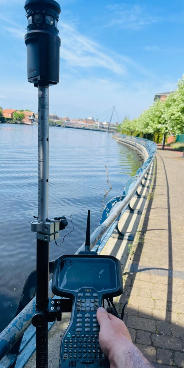
We successfully completed a comprehensive utility and topographical survey at the Stockton Cycle Path. The primary objective was to accurately identify all existing surface features and subsurface utilities within the defined survey area.
Our dedicated teams carried out the work during night shifts to minimize disruption, ensuring all relevant features were thoroughly captured. These included:
Carriageway channel lines and crown lines
Boundaries of verges, fences, hedges, walls, embankments, mounds, and landscaped areas
Additionally, we recorded manhole cover levels, invert levels, and identified utility types present within the area.
The detailed data gathered from this survey will support our client in developing plans for a new traffic signal upgrade, ensuring that design decisions are well-informed and aligned with existing site conditions.


 Leeds
Leeds Doncaster
 Sheffield
 Bradford
 Hull
Hull Halifax
 Sunderland
 Newcastle
 Middlesborough
 Yorkshire Moors
 Teesside
 Cumbria
 Harrogate
 Teesdale
 York
York Yorkshire Dales
 Northumberland
 Goole
Goole Carlisle
 Keswick
 Kendal
 Barrow-in-Furness
 Lancaster
 Blackpool
 Morecambe
 Southport
 Liverpool
 Wigan
Wigan Manchester
 Blackburn
 Burnley
 Forest of Bowland
 Oldham
 Chester
 Stockport
 Peak District
 Skipton
 Crewe
Crewe Rotherham
 Stoke
Stoke Driffield


