


 Leeds
Leeds
 Doncaster
 Sheffield
 Bradford
 Hull
Hull
 Halifax
 Sunderland
 Newcastle
 Middlesborough
 Yorkshire Moors
 Teesside
 Cumbria
 Harrogate
 Teesdale
 York
York
 Yorkshire Dales
 Northumberland
 Goole
Goole
 Carlisle
 Keswick
 Kendal
 Barrow-in-Furness
 Lancaster
 Blackpool
 Morecambe
 Southport
 Liverpool
 Wigan
Wigan
 Manchester
 Blackburn
 Burnley
 Forest of Bowland
 Oldham
 Chester
 Stockport
 Peak District
 Skipton
 Crewe
Crewe
 Rotherham
 Stoke
Stoke
 Driffield

A nationwide surveying and engineering company operating in both the public and private sectors.

Read about our Surveying Services, which include Topographical Services, Utility Mapping and Monitoring Campaigns.

We have created some answers to a series of questions which explains a little more about our services.
Head Office
North West Office
Glasgow Office
Bedford Office
Bedford Office
This resource page offers practical insight, guidance, and examples to support contractors and groundworkers in using survey information effectively during delivery.
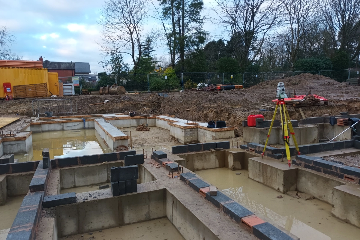
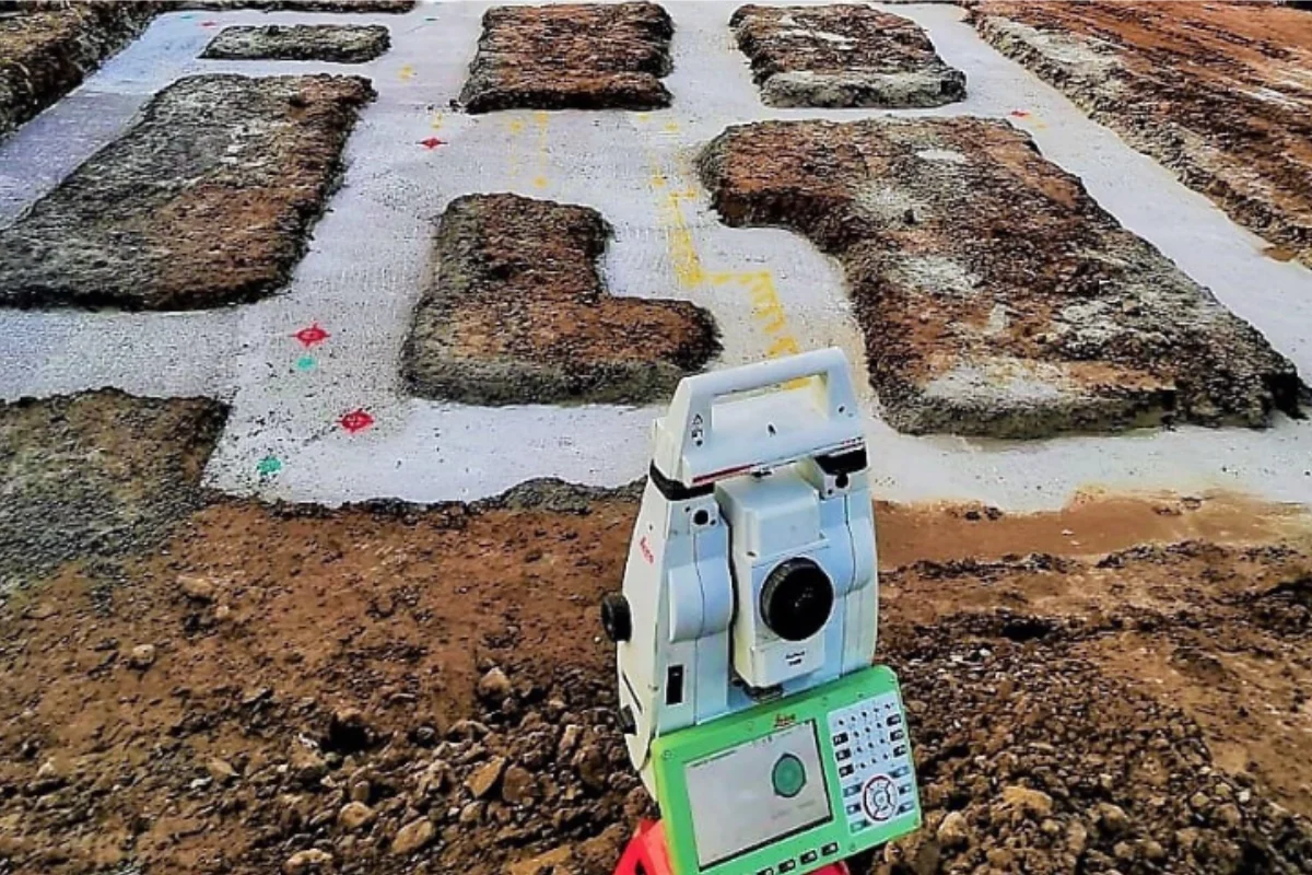
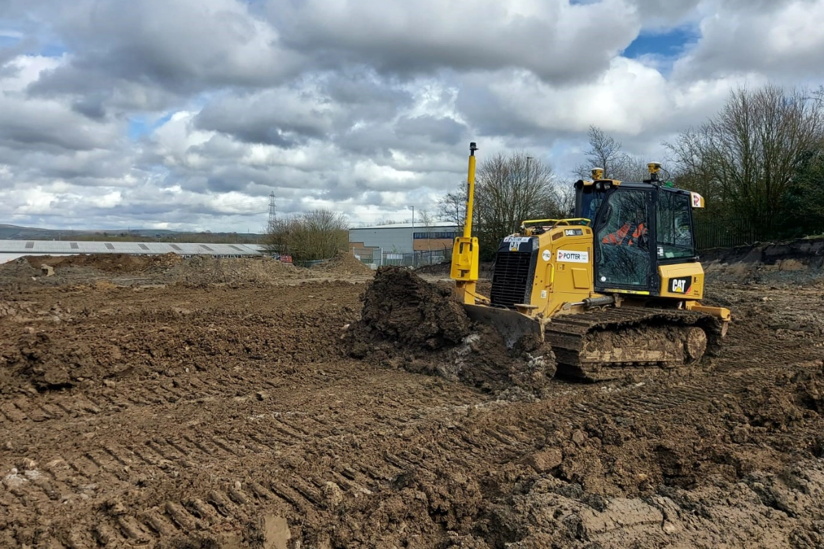
At Tri-Tech, we provide survey information that helps contractors and groundworkers work with confidence on site. Clear, accurate data is essential to efficient construction – from early site checks and setting out through to verification and final as-built surveys.
Construction programmes rely on certainty. Our surveys provide a dependable understanding of existing site conditions, helping identify constraints early and reduce the risk of costly delays or rework.
Our deliverables are prepared with architectural software and workflows in mind. Whether 2D CAD drawings or detailed 3D datasets, our outputs are structured for immediate use within design environments.
Survey scope is tailored to reflect how information will be used during groundworks and construction, ensuring accuracy where it matters most.
As projects progress, we provide continued support including additional surveys, verification, and clarification to keep works moving.
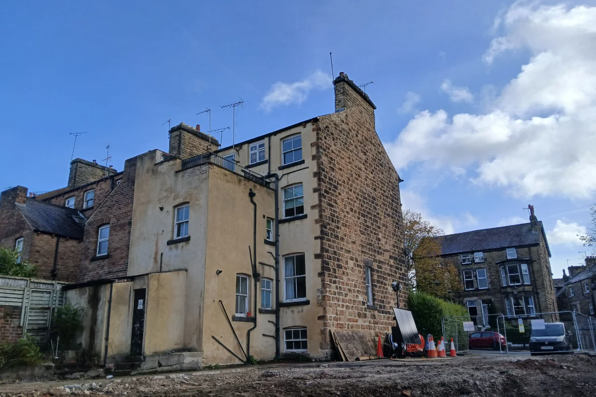
Detailed mapping of site features, levels, boundaries and surrounding context.
We have a very strong team of Site Engineers and Engineering Surveyors working for us.
Accurate internal and external surveys including floor plans, elevations, sections and roof layouts.
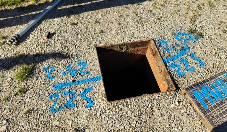
Identification of underground services to reduce design and construction risk.
High-density point cloud data for complex geometry, refurbishment, and BIM coordination.
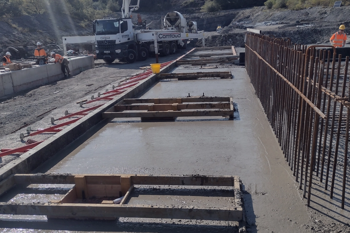
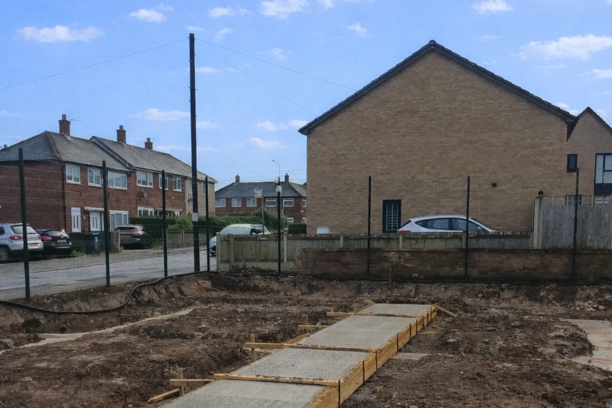
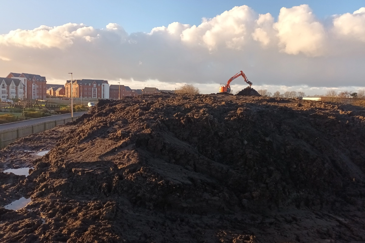
Our experience spans a wide range of groundwork projects. The case studies below demonstrate how Tri-Tech’s survey services have supported design development in real-world scenarios.
This guide explains:
Tri-Tech works with contractor projects across the UK, supporting projects of varying scale and complexity. Our objective is to deliver survey information that groundworkers can rely on.
For project advice, survey requirements, or a tailored quotation, our team is always available to assist.