Surveying Services in the Peak District
The peak district surveying
National Park
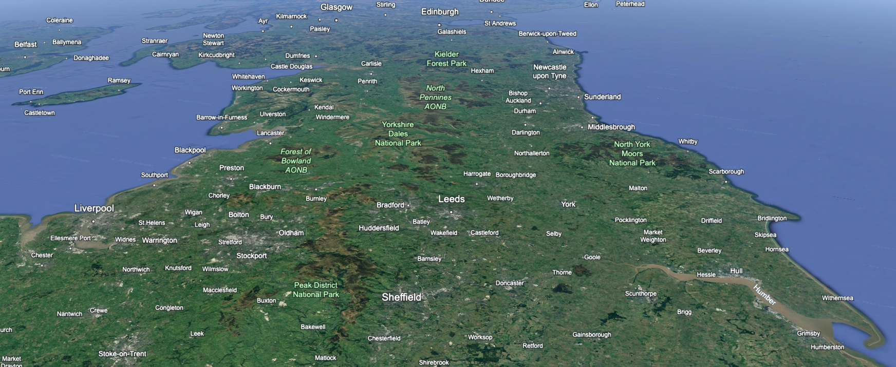
The Peak District is a stunningly beautiful national park in England, known for its dramatic landscapes, rolling hills, limestone valleys, and rugged moorlands. The Peak District is located in central England, mainly in the counties of Derbyshire, Cheshire, Greater Manchester, Staffordshire, and South Yorkshire. It covers an area of approximately 555 square miles (1,440 square kilometers), making it one of the largest national parks in England.
The Peak District is home to a variety of wildlife, including red deer, mountain hares, peregrine falcons, and rare plant species such as the Jacob’s ladder and the bilberry. There are several nature reserves within the park, managed to protect and conserve the region’s biodiversity, such as Dovedale and Derwent Valley.
The Peak District offers a wealth of natural beauty, outdoor adventures, and cultural experiences, making it a popular destination for nature lovers, outdoor enthusiasts, and history buffs alike.
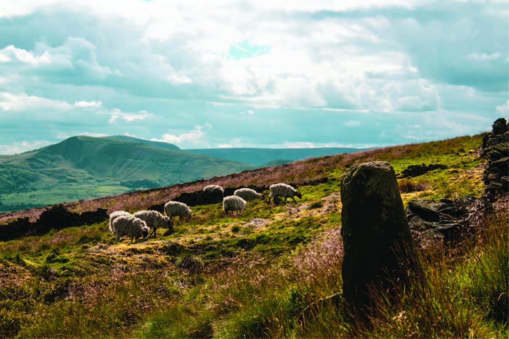
The Peak District National Park has a management plan rather than a traditional development plan, as its primary focus is on conservation, sustainable land management, and providing opportunities for recreation and enjoyment of the natural environment. The management plan is designed to balance the protection of the park’s unique landscapes and biodiversity with the needs of visitors and local communities.
The management plan for the Peak District National Park is a dynamic and evolving document that guides the sustainable management and conservation of one of England’s most cherished natural landscapes. It reflects a commitment to balancing the protection of the park’s ecological and cultural values with the needs of visitors and local communities, ensuring that future generations can continue to enjoy and benefit from this special place.


Land and Engineering Surveyors
topographical surveys
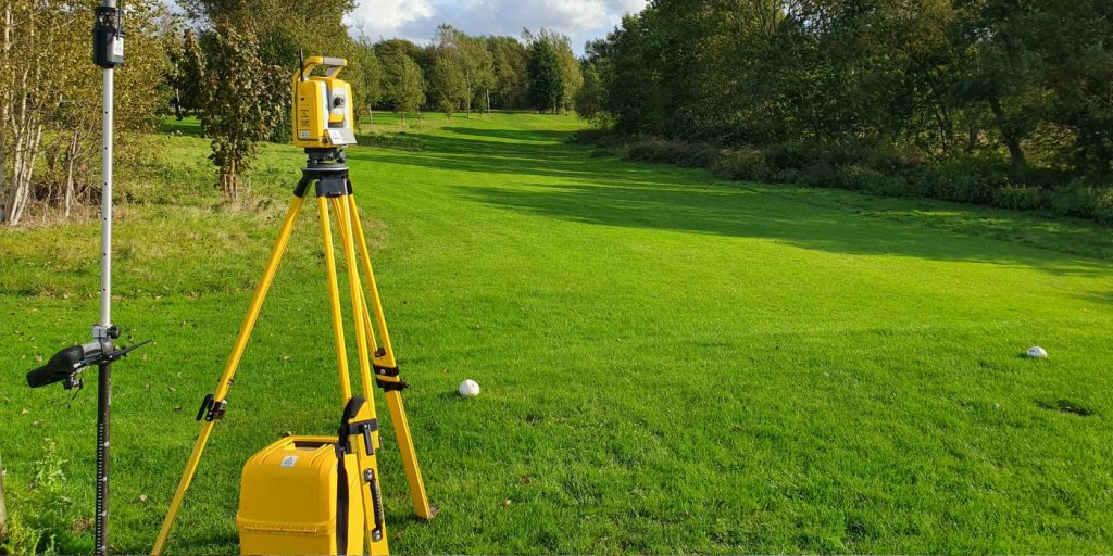
Tri-Tech work for a variety of different clients on different projects, and we pride ourselves on delivering accurate, efficient, cost effective surveys ensuring our clients receive the best possible product.
utility mapping
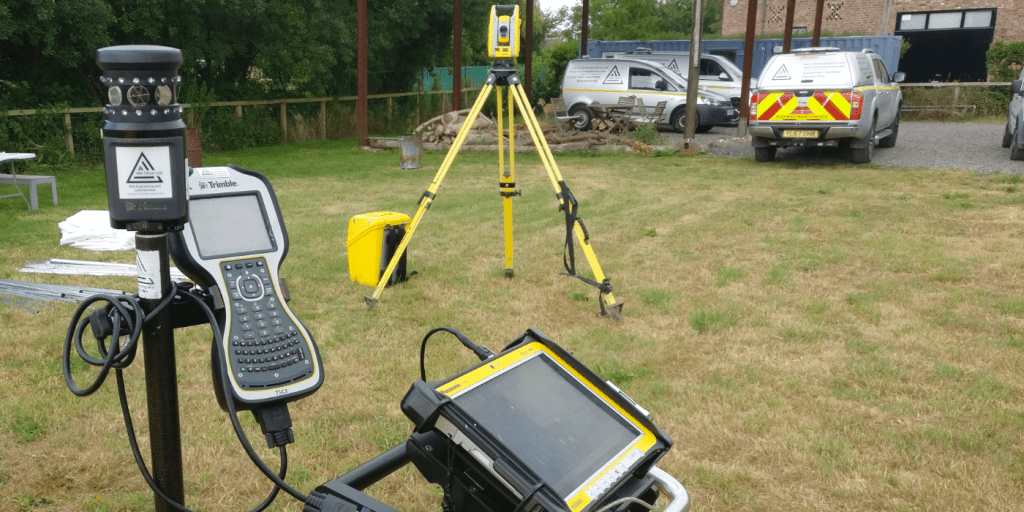
Using the latest equipment, we can provide the location of underground services in either 2D or 3D. We use state of the art Ground Penetrating Radar and Electromagnetic Location to assist your project when service avoidance may be a potential issue on site.
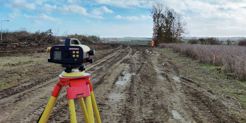
monitoring
Is there any movement? That is the question that is asked before and during any monitoring scheme. That is the reason we undertake monitoring, to check for movement.
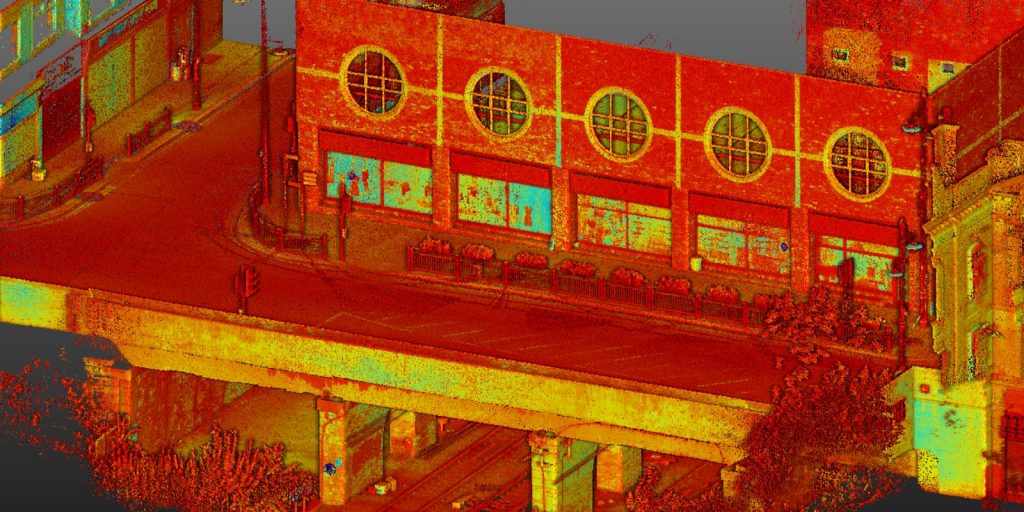
laser scanning
For mass collection of accurate survey data then nothing beats scanning. Using 3D laser Scanners the surveyors can capture millions of points per second with the creation of a PointCloud.
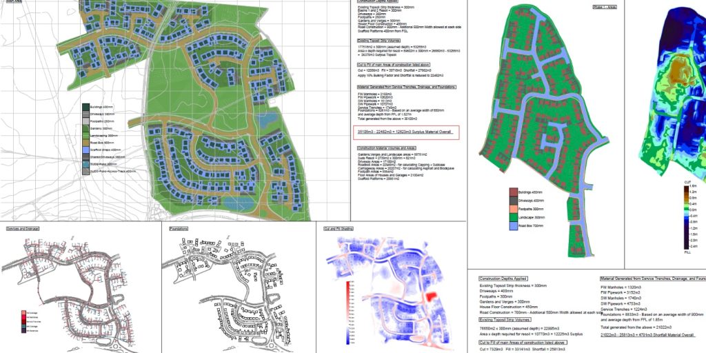
volumetric analysis
We specialise in the analysis of a scheme’s volumetrics at any point in time. Be it Tender, Prestart, Monthly, Weekly, or Final.
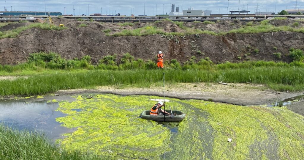
Bathymetric surveys
By using the latest surveying technology, we have been able to survey watercourses safely and efficiently.
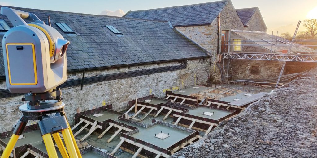
setting out & site engineering
Bread and butter work for us! Having a strong relationship with many civil engineering companies we have a very strong team of Site Engineers and Engineering Surveyors working for us.
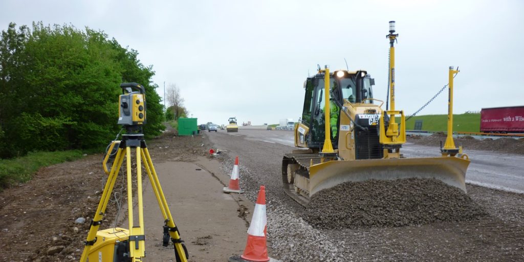
control network installation
At Tri-Tech we have vast experience in this field. Be it a large highway scheme or a private property we can advise on what accuracies are required from your control network depending on what work you are carrying out and the tolerances you are carrying this work out to.
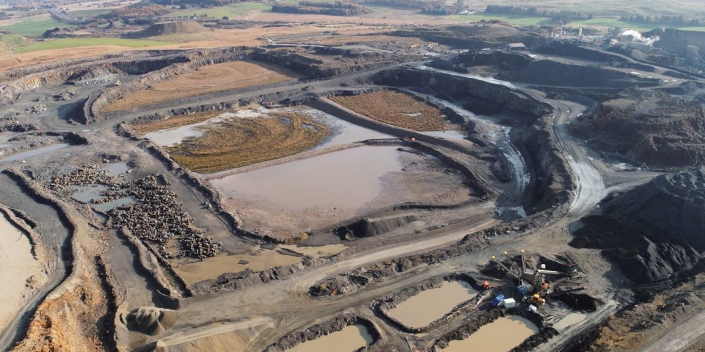
uav mapping & aerial surveys
Large areas of ground can be covered capturing the most unbelievable detail which would just be unable to be recorded with traditional methods. Our clients have really seen the benefit of what UAV surveys bring to the table.
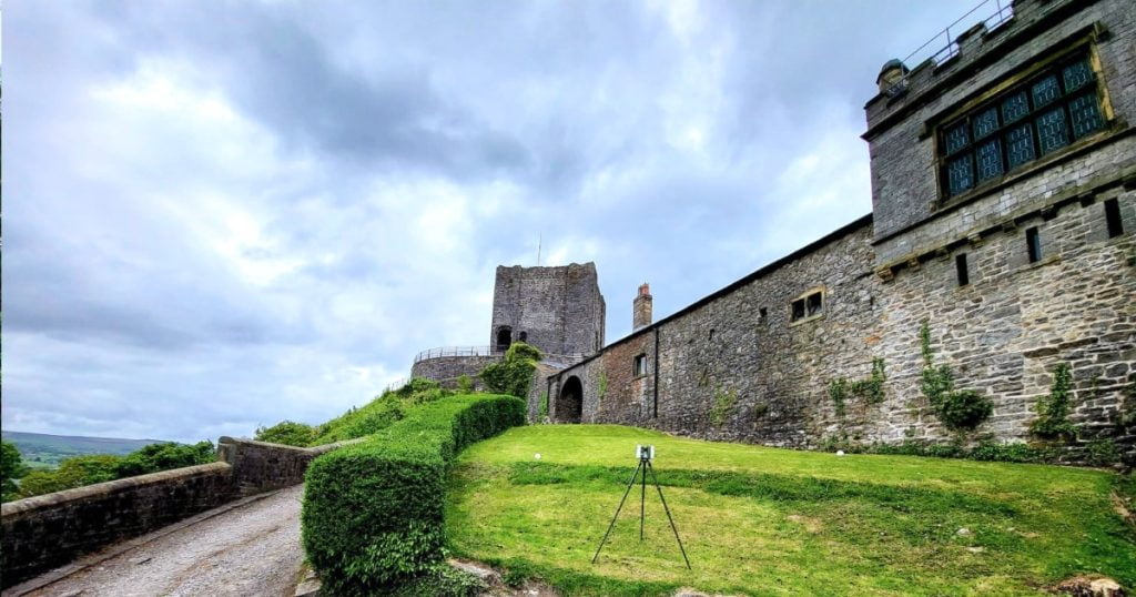
measured building surveys
Tri-Tech work for a variety of different clients on different projects, and we pride ourselves on delivering accurate, efficient, cost effective surveys ensuring our clients receive the best possible product.
3d machine control
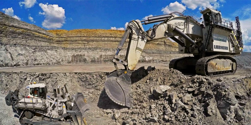
Machine control systems have been around for years now and Tri-tech have been utilising these systems from the very start. We realised the benefits of these systems early on when working with earthworks contractors.
survey equipment hire
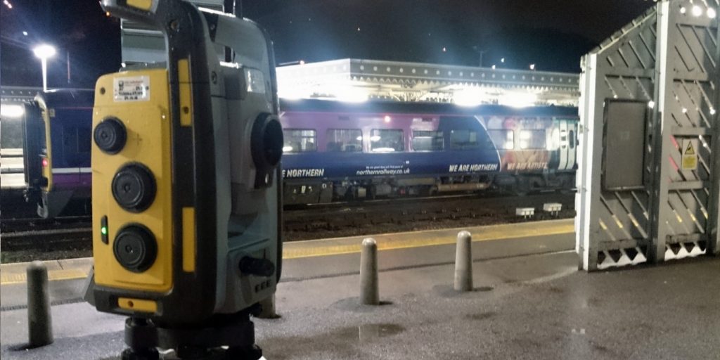
Being a leader in the Surveying and Engineering sector we have a fleet of modern survey equipment at our disposal which is second to none. We carry the latest GNSS Base Stations, GNSS Rovers, Robotic Total Stations, Laser Scanners, Digital Levels, and Dual Grade Lasers.
BIM Model Creation
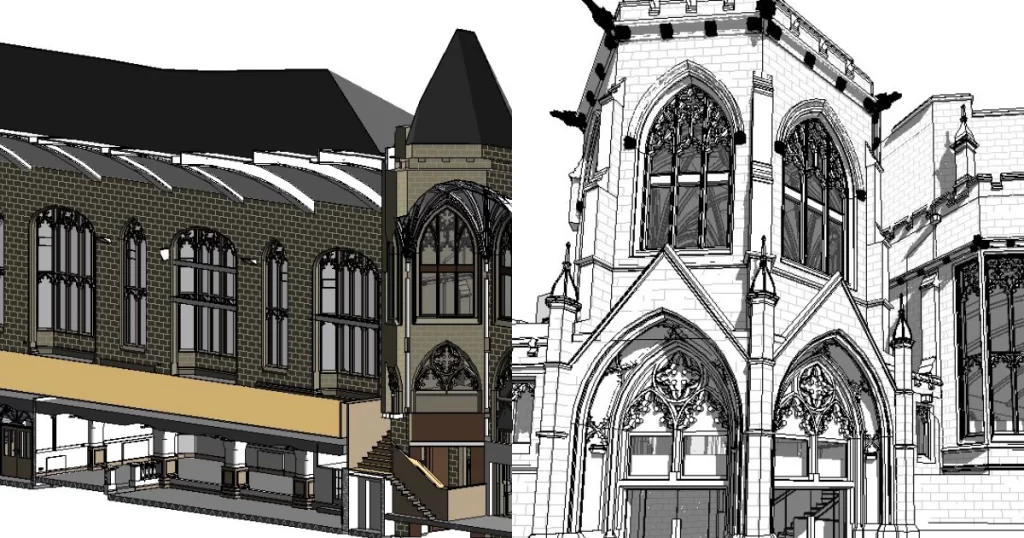
BIM (Building Information Modelling) model creation in surveying refers to the process of using specialised software to create a 3D digital model of a building or infrastructure project that includes information about the project’s design, construction, and maintenance.
Virtual Tour 3D
Virtual Tour 3D is an immersive experience which instantly transports your clients to your business, and guides them through your space, creating a seamless and captivating experience.



 Teesdale