Machine Control Support for Earthworks & Construction Projects Across the UK
Based in Yorkshire, Operating Nationwide
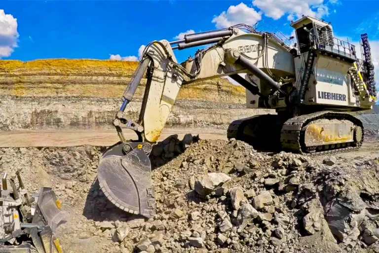
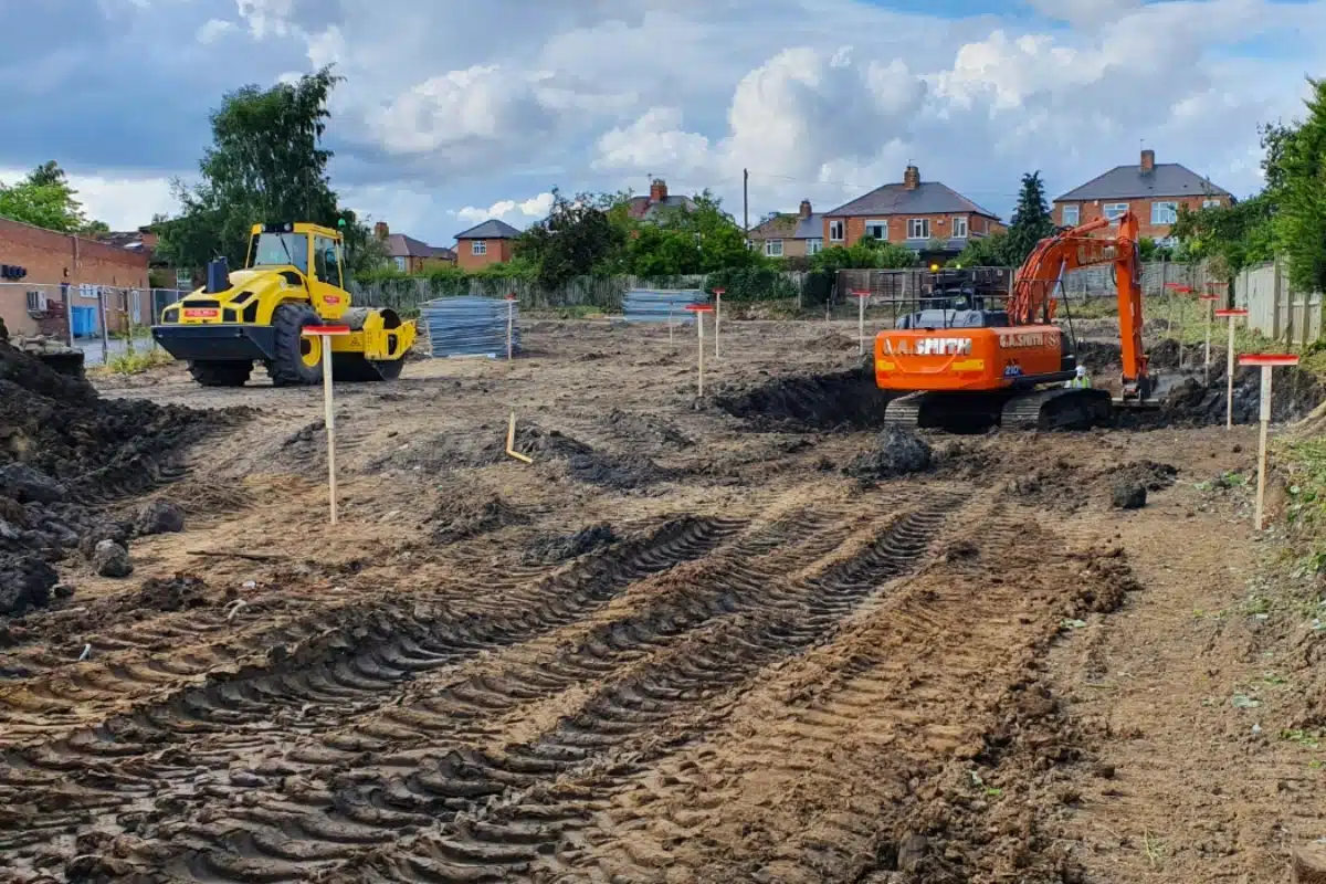
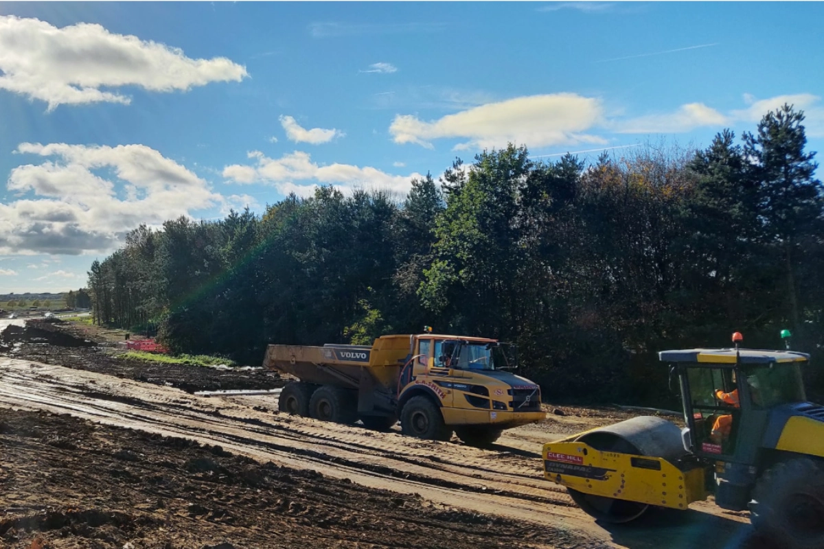
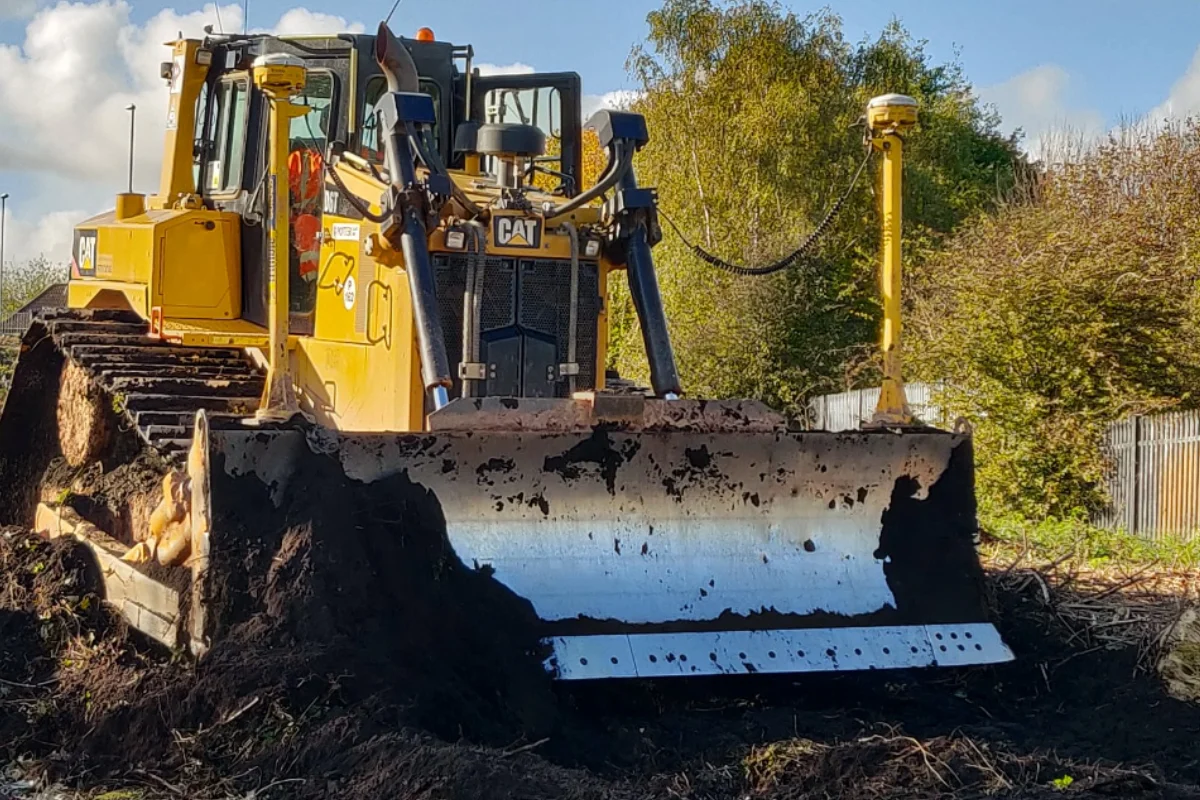
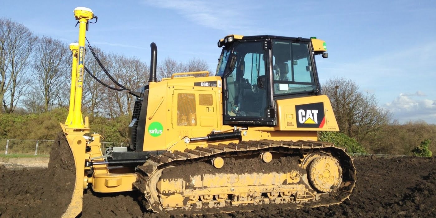
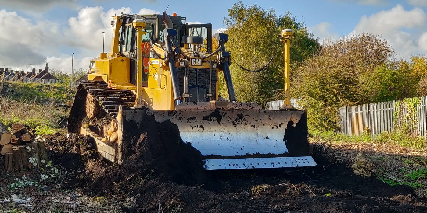
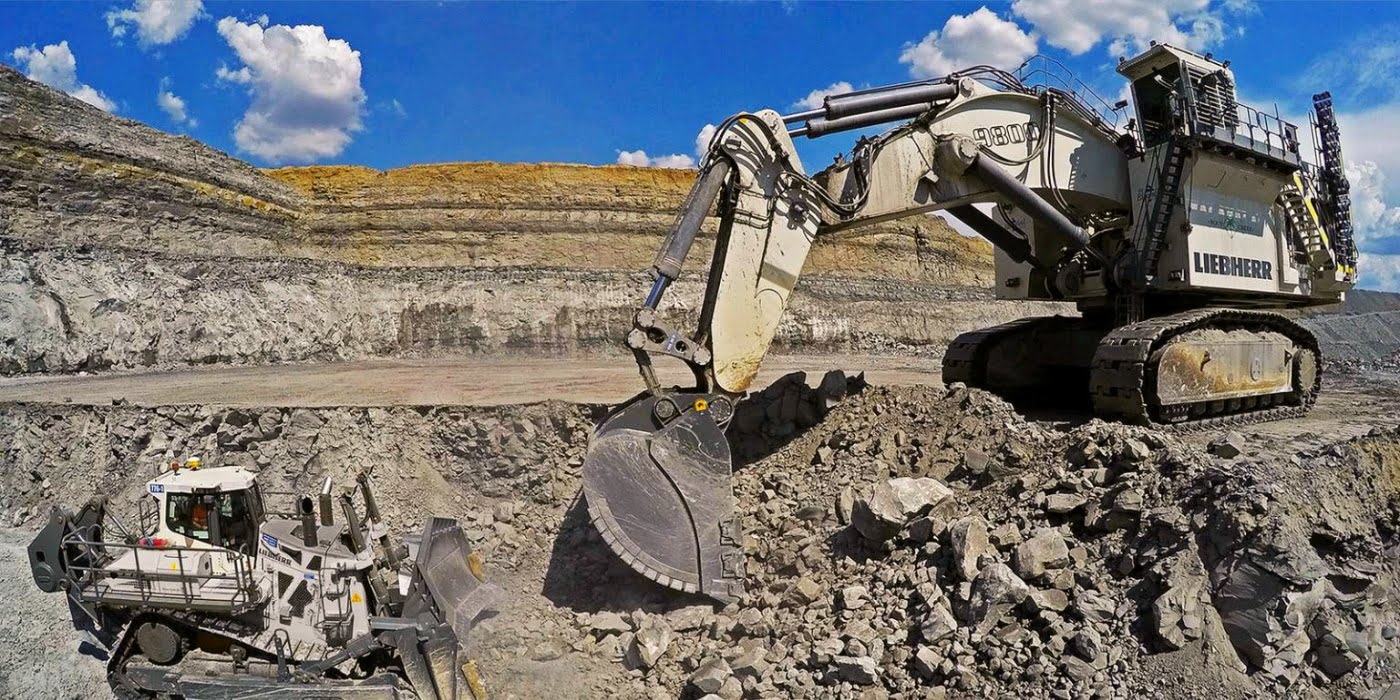
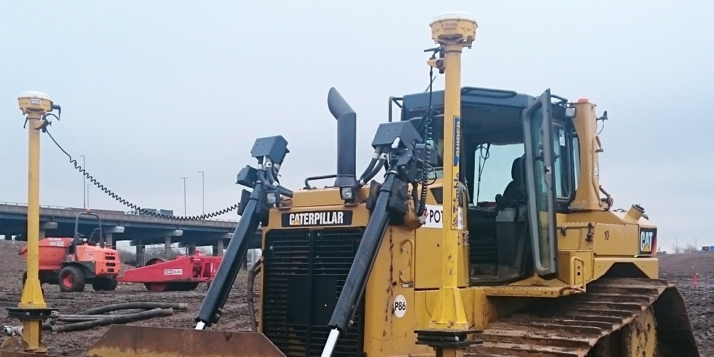
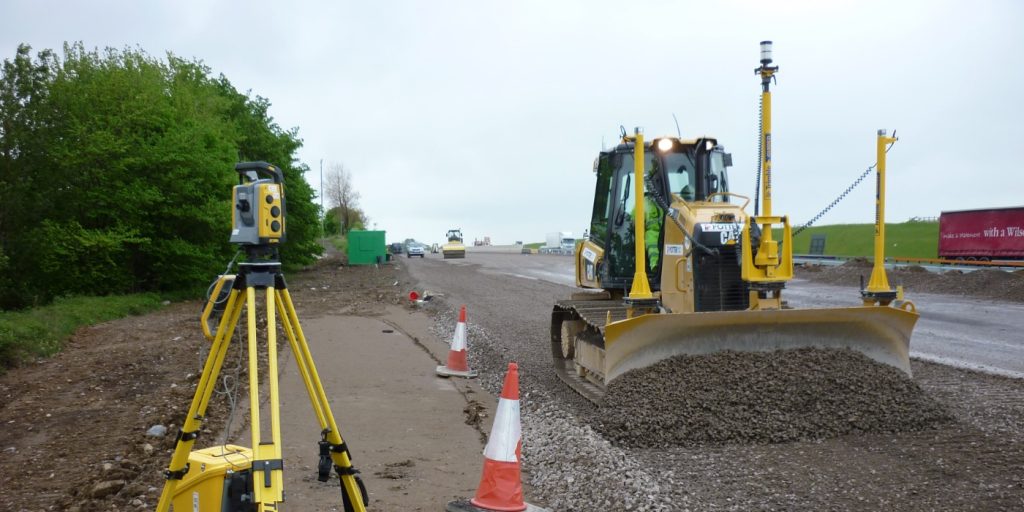
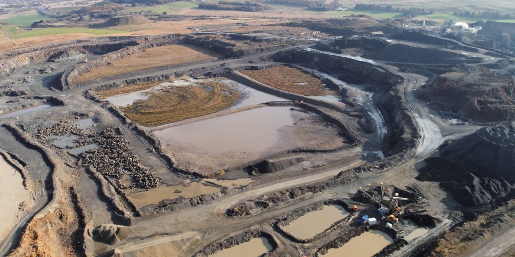
3D machine control is no longer “the future” of construction, it is the present. Modern earthmoving and infrastructure projects rely on accurate digital models and GPS-guided systems to deliver faster, safer, and more cost-effective results on site. At Tri-Tech, we have been working with machine control systems from the very beginning. With decades of experience supporting major earthworks contractors and large-scale infrastructure schemes, we provide reliable 3D machine control services across Yorkshire and the wider UK. From airports and highways to bulk earthworks and slipform paving, we help contractors maximise efficiency and accuracy through advanced machine guidance solutions.
What Is 3D Machine Control?
3D machine control is a technology used to guide plant machinery such as dozers, excavators, graders and pavers, using GPS and digital design models. By installing a 2D or 3D model into the machine control system, operators can work directly to design without constant setting out, reducing downtime and improving productivity.
Machine control supports:
Accurate excavation and grading
Reduced rework and material waste
Faster project delivery
Improved on-site safety
Real-time design compliance
Our Experience in Machine Control
Tri-Tech has supported machine control operations on major projects for years:
CA Blackwell
Priors
Slipform paving contractors
Airport infrastructure projects at Heathrow, Gatwick and Stansted
Our expertise naturally developed from the setting-out and digital survey data we have always produced, evolving into full 3D model creation and machine control integration.
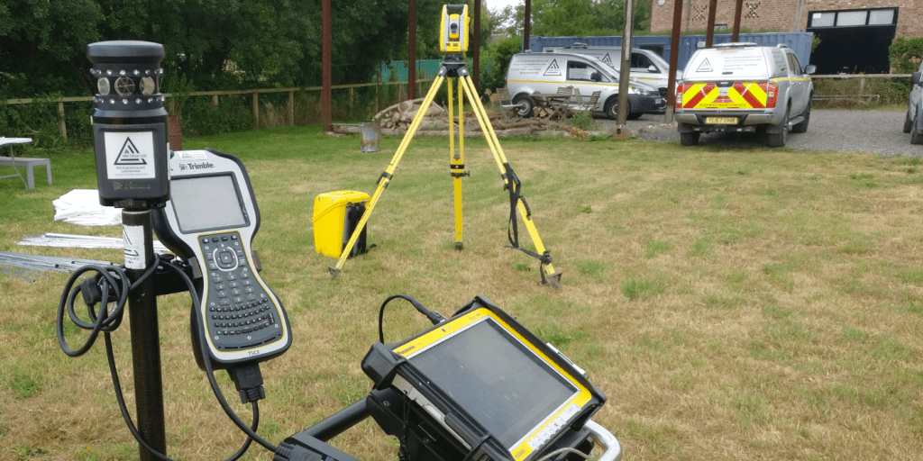
Machine Control Systems We Support
We maintain close working relationships with all major machine control manufacturers, including:
Trimble
Topcon
Leica Geosystems
This ensures our models and calibration services integrate seamlessly with your equipment and workflows.
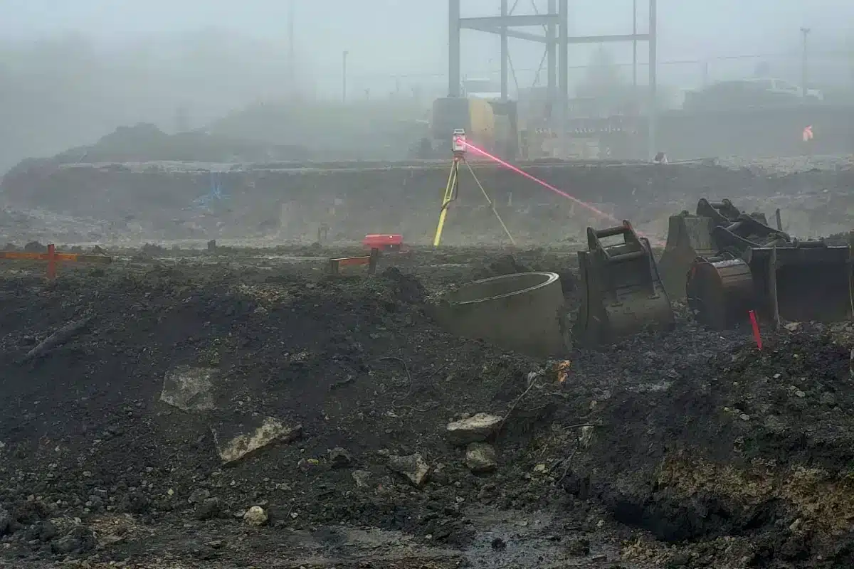
Accurate calibration is critical, and if your coordinate system is wrong, the entire site is wrong. Our team understands complex site control networks and coordinate systems, ensuring your machine control is set up correctly from day one.
3D machine control is a technology used in construction, mining, and other heavy equipment operations that enables operators to accurately control the position, orientation, and
Tri-Tech work for a variety of different clients on different projects, and we pride ourselves on delivering accurate, efficient, cost effective surveys ensuring our clients receive the best possible product.
Using the latest equipment, we can provide the location of underground services in either 2D or 3D. We use state of the art Ground Penetrating Radar and Electromagnetic Location to assist your project when service avoidance may be a potential issue on site.
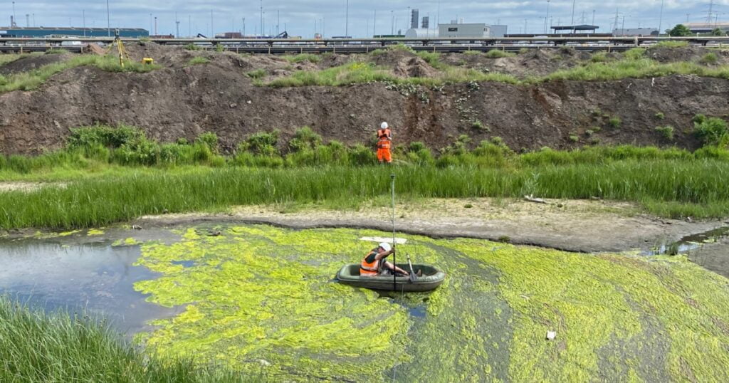
Is there any movement? That is the question that is asked before and during any monitoring scheme. That is the reason we undertake monitoring, to check for movement.
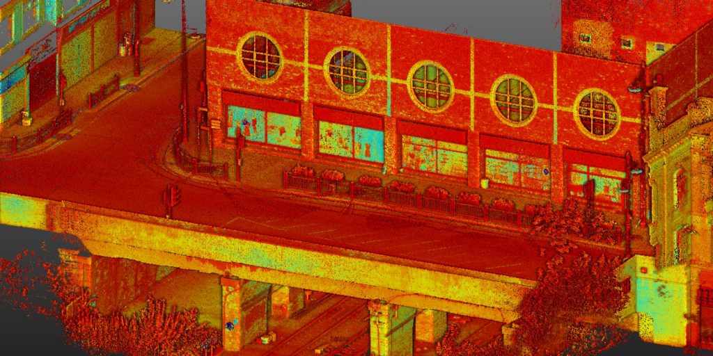
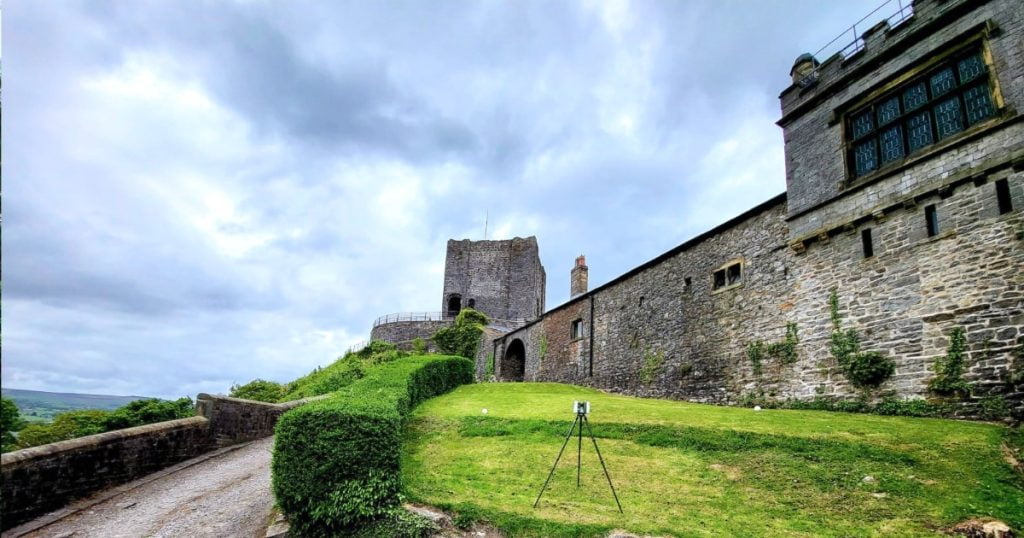
For mass collection of accurate survey data then nothing beats scanning. Using 3D laser Scanners the surveyors can capture millions of points per second with the creation of a PointCloud.
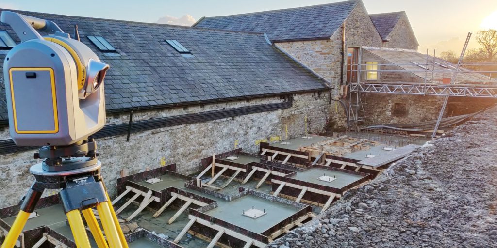
Bread and butter work for us! Having a strong relationship with many civil engineering companies we have a very strong team of Site Engineers and Engineering Surveyors working for us.
At Tri-Tech we have vast experience in this field. Be it a large highway scheme or a private property we can advise on what accuracies are required from your control network depending on what work you are carrying out and the tolerances you are carrying this work out to.
Large areas of ground can be covered capturing the most unbelievable detail which would just be unable to be recorded with traditional methods. Our clients have really seen the benefit of what UAV surveys bring to the table.
Tri-Tech work for a variety of different clients on different projects, and we pride ourselves on delivering accurate, efficient, cost effective surveys ensuring our clients receive the best possible product.
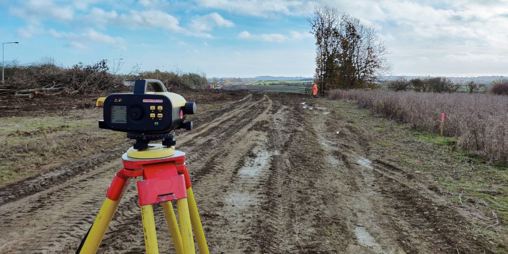
Machine control systems have been around for years now and Tri-tech have been utilising these systems from the very start. We realised the benefits of these systems early on when working with earthworks contractors.
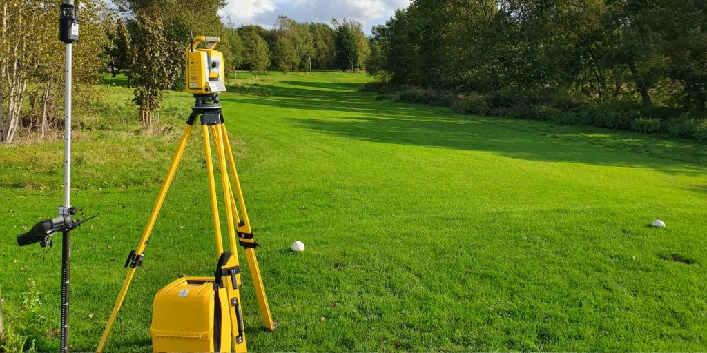
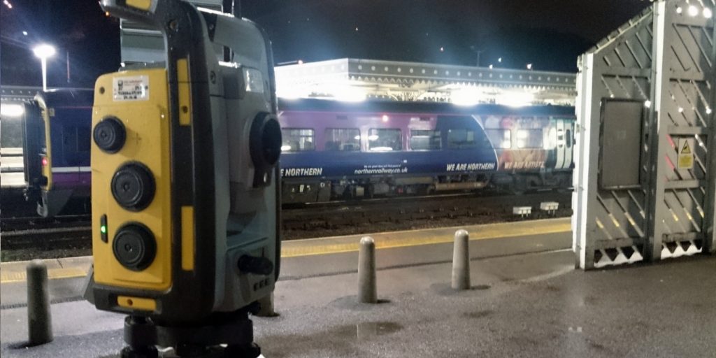
Being a leader in the Surveying and Engineering sector we have a fleet of modern survey equipment at our disposal which is second to none. We carry the latest GNSS Base Stations, GNSS Rovers, Robotic Total Stations, Laser Scanners, Digital Levels, and Dual Grade Lasers.
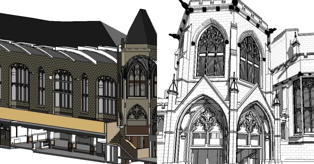
BIM (Building Information Modelling) model creation in surveying refers to the process of using specialised software to create a 3D digital model of a building or infrastructure project that includes information about the project’s design, construction, and maintenance.
Virtual Tour 3D is an immersive experience which instantly transports your clients to your business, and guides them through your space, creating a seamless and captivating experience.


 Leeds
Leeds Doncaster
 Sheffield
 Bradford
 Hull
Hull Halifax
 Sunderland
 Newcastle
 Middlesborough
 Yorkshire Moors
 Teesside
 Cumbria
 Harrogate
 Teesdale
 York
York Yorkshire Dales
 Northumberland
 Goole
Goole Carlisle
 Keswick
 Kendal
 Barrow-in-Furness
 Lancaster
 Blackpool
 Morecambe
 Southport
 Liverpool
 Wigan
Wigan Manchester
 Blackburn
 Burnley
 Forest of Bowland
 Oldham
 Chester
 Stockport
 Peak District
 Skipton
 Crewe
Crewe Rotherham
 Stoke
Stoke Driffield