Precise Monitoring Surveys in Yorkshire and Beyond
Based in Yorkshire, Operating Nationwide
A monitoring survey is used to accurately measure and track movement, displacement, or change in structures, land, or infrastructure over time. Monitoring surveys are critical where construction, excavation, or ground movement could impact surrounding buildings, assets, or ground stability. At Tri-Tech Surveys, we provide reliable monitoring survey services across the UK, delivering precise data that supports risk management, compliance, and informed decision-making throughout a project lifecycle.
What is a Monitoring Survey?
A monitoring survey involves the repeated measurement of fixed points to detect and quantify movement. These surveys are used to identify changes in position, level, or alignment, allowing potential issues to be identified early before they become costly or unsafe. The data collected provides clear evidence of whether movement is occurring, its magnitude, and whether it remains within acceptable limits.
Monitoring campaigns in surveying refer to the process of periodically measuring and recording changes in the physical features of a piece of land over a
Monitoring surveys play a vital role in risk mitigation and asset protection. Monitoring surveys help to:
Detect movement early
Protect nearby buildings and infrastructure
Support compliance and planning conditions
Reduce the risk of structural damage
Provide defensible data for engineers and insurers
Support safe construction practices
Types of Monitoring Surveys We Provide
Tri-Tech Surveys offers a range of monitoring solutions tailored to your project requirements.
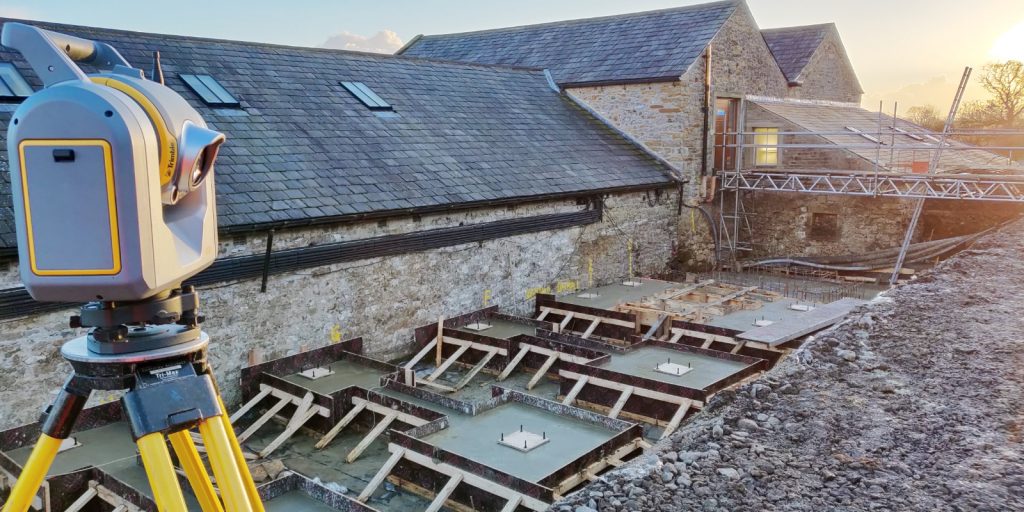
Structural Monitoring
Tracks movement in buildings, walls, bridges, and other structures during construction or excavation works.
Ground & Settlement Monitoring
Measures changes in ground levels, settlement, or heave caused by excavation, piling, or groundworks.
Crack & Deformation Monitoring
Monitors the development or widening of cracks within structures over time.
Pre-Construction Condition Surveys
Provides a baseline record of existing conditions before works commence, protecting all parties involved.
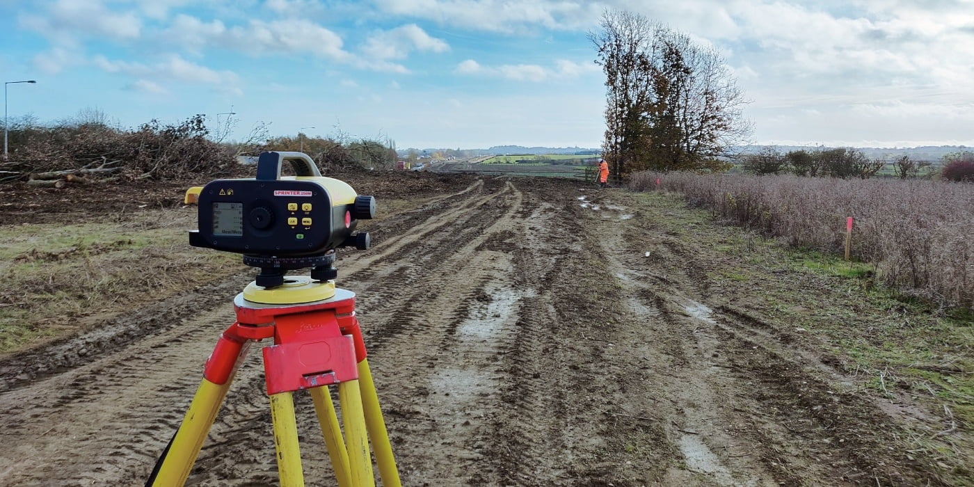
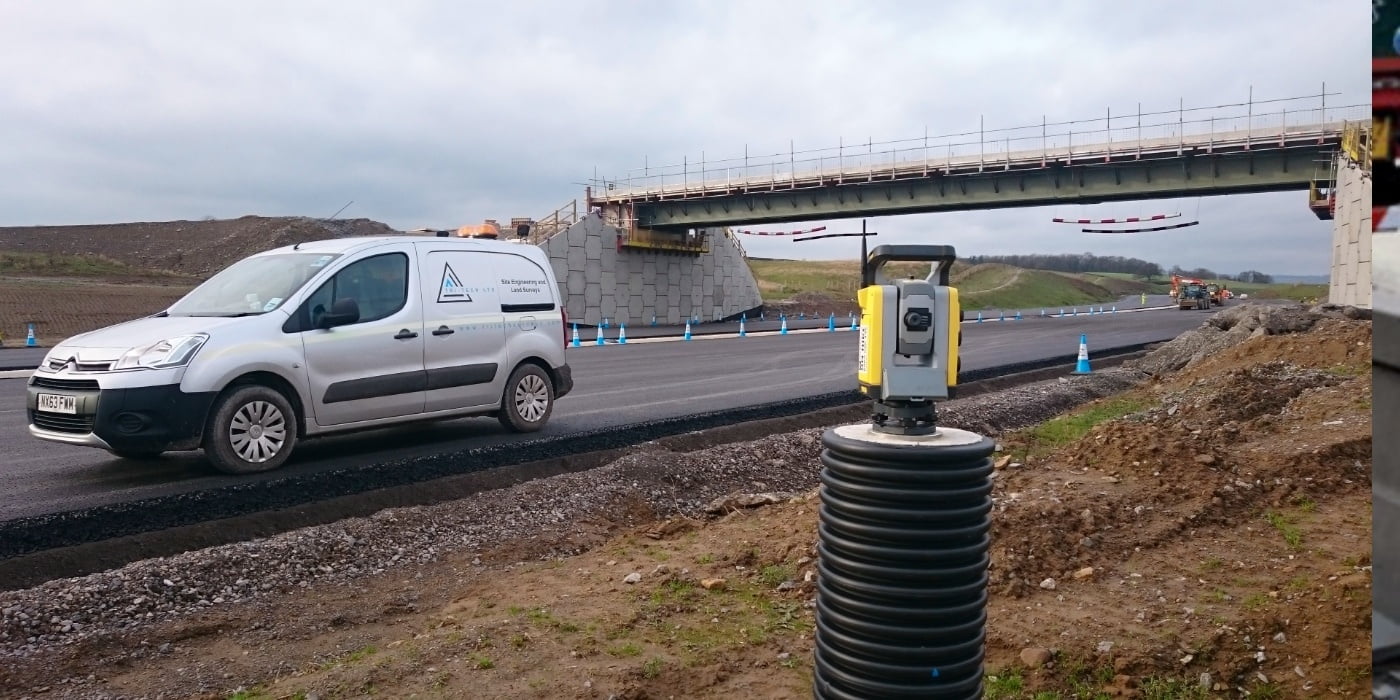
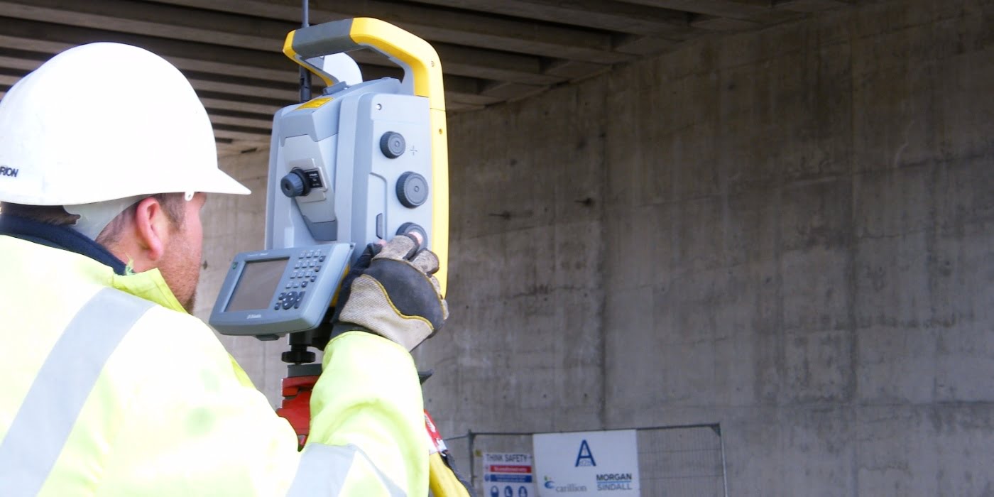
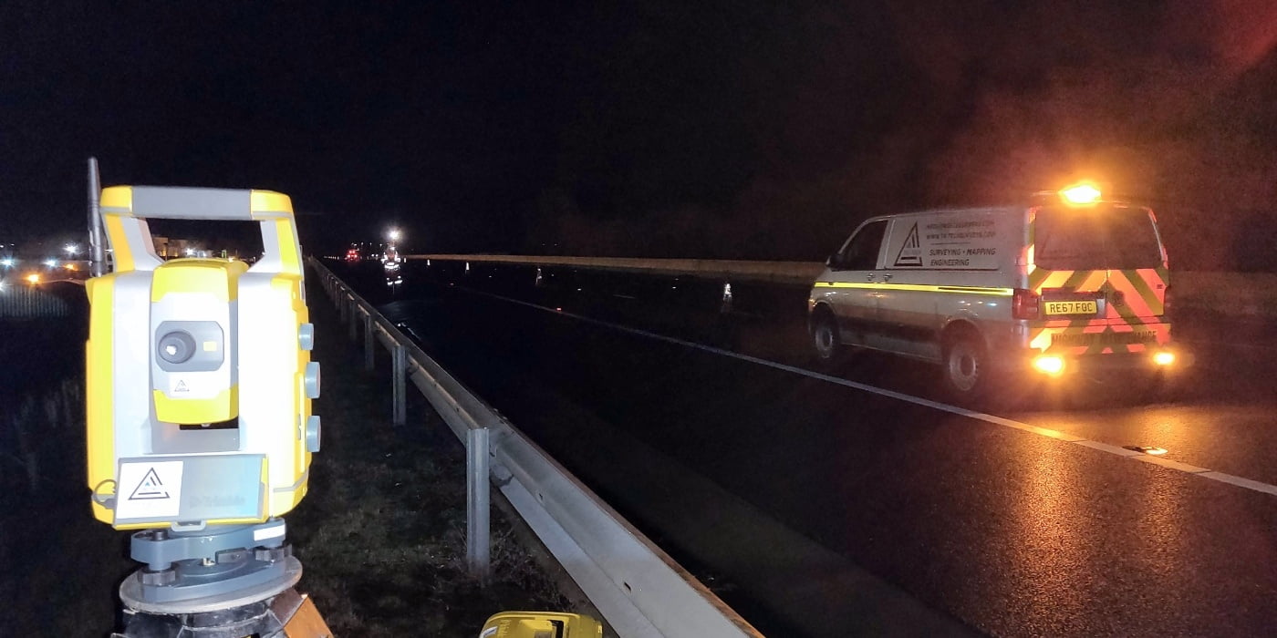
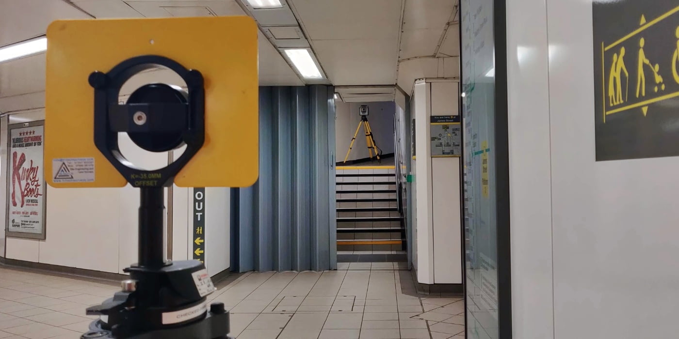
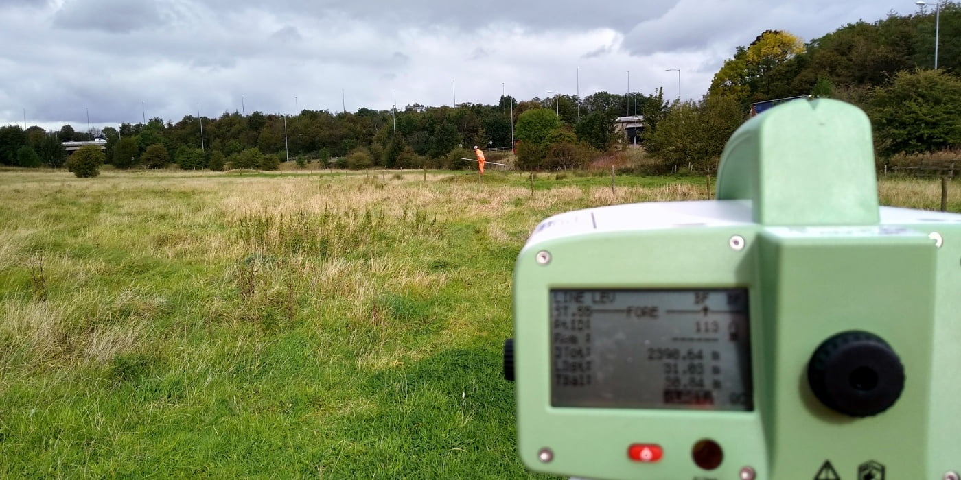
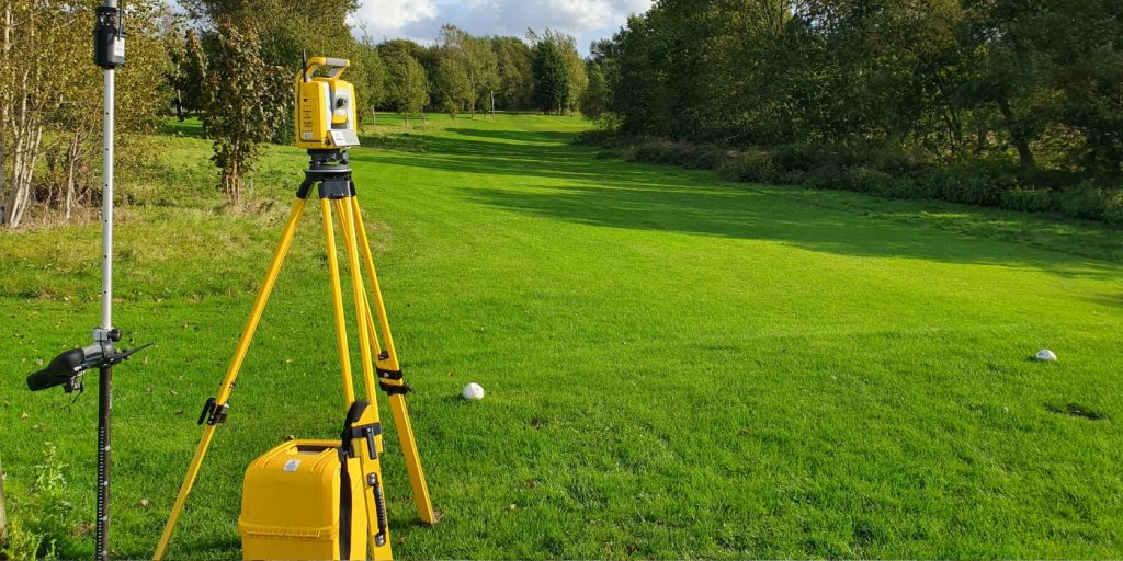
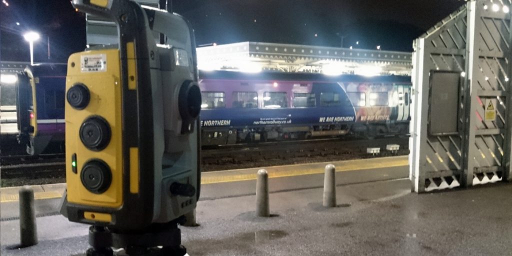
Monitoring Methods & Equipment
We use accurate, industry-standard surveying techniques, including:
Precise levelling surveys
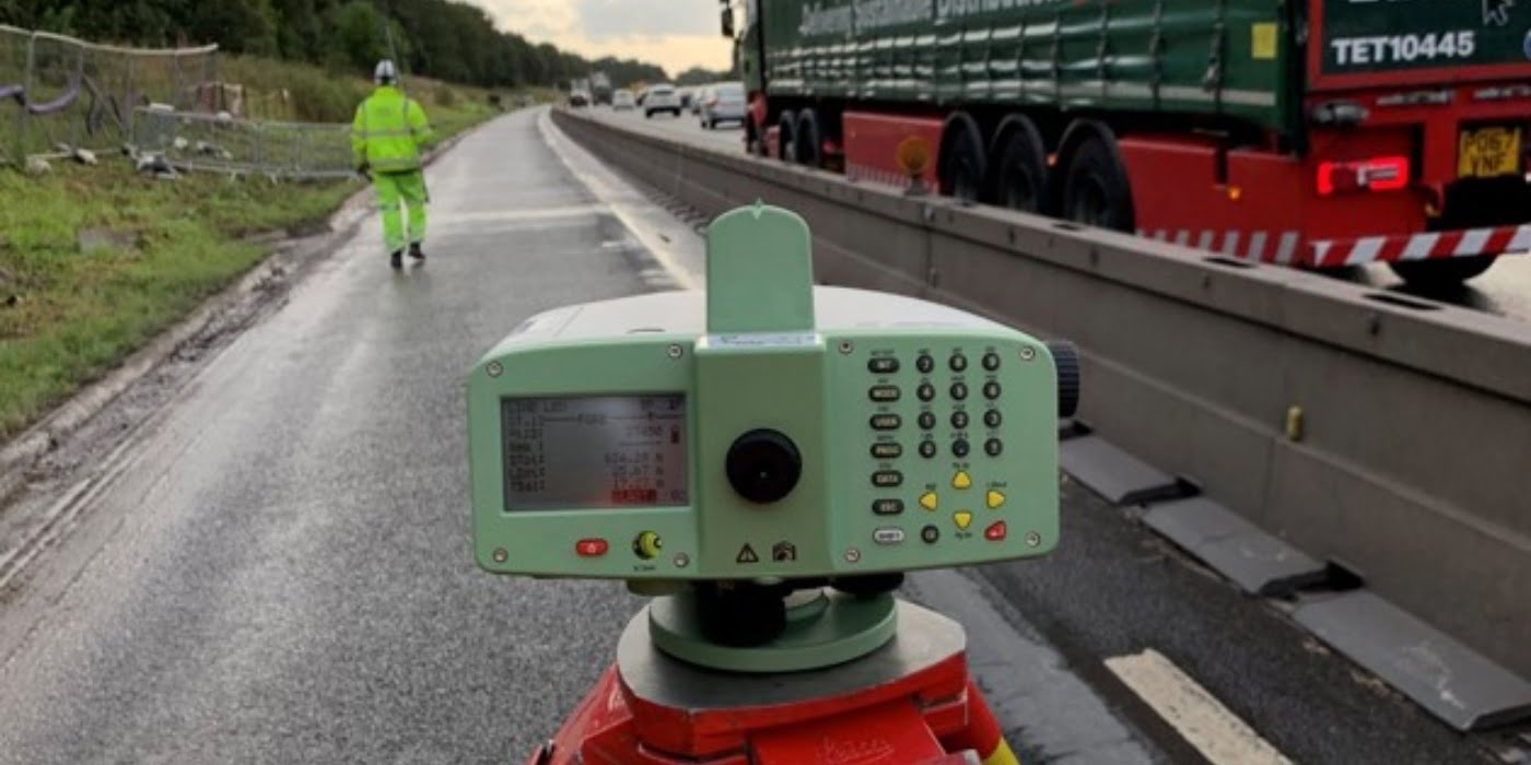
Total station monitoring
Fixed control networks
Reflective targets and monitoring studs
Periodic or scheduled repeat surveys
Survey frequency and accuracy levels are agreed at the outset to ensure the monitoring programme meets engineering, planning, or contractual requirements.
Deliverables & Reporting
Our monitoring surveys are supported by clear, professional reporting:
Movement and displacement tables
Graphs showing trends over time
Annotated drawings and plans
CAD outputs where required
Clear commentary on results
Reports are designed to be easily understood by engineers, project managers, and stakeholders.
If your project involves excavation, construction, or potential ground movement, a monitoring survey can protect assets and reduce risk. Contact Tri-Tech Surveys today to discuss your monitoring requirements and receive a tailored quote.
Tri-Tech work for a variety of different clients on different projects, and we pride ourselves on delivering accurate, efficient, cost effective surveys ensuring our clients receive the best possible product.
Using the latest equipment, we can provide the location of underground services in either 2D or 3D. We use state of the art Ground Penetrating Radar and Electromagnetic Location to assist your project when service avoidance may be a potential issue on site.
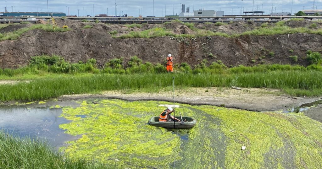
Is there any movement? That is the question that is asked before and during any monitoring scheme. That is the reason we undertake monitoring, to check for movement.
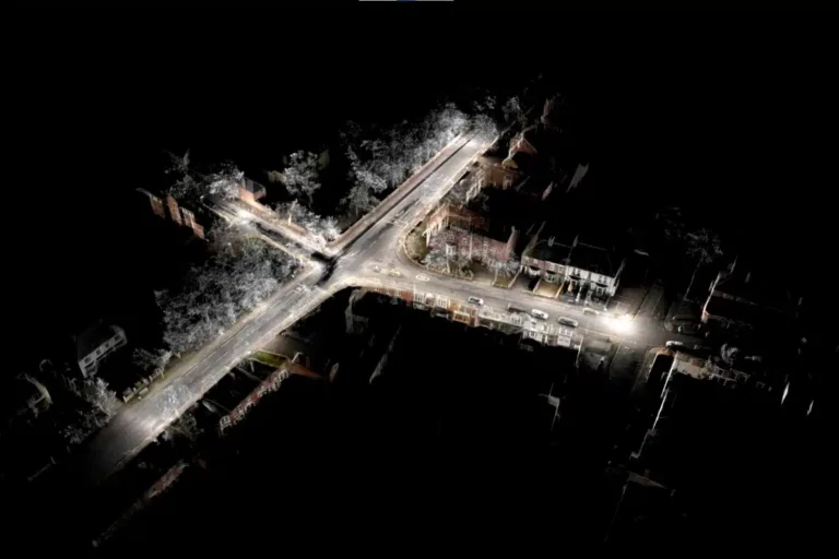
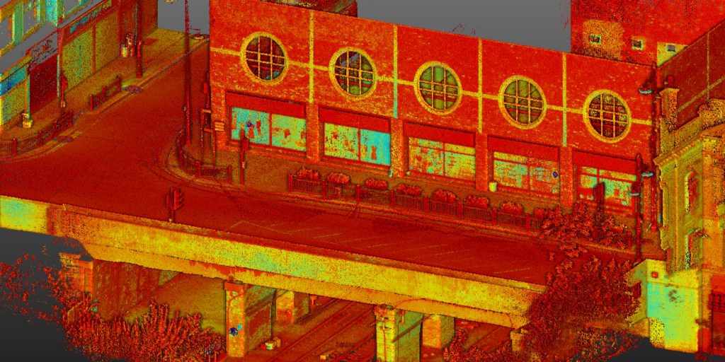
For mass collection of accurate survey data then nothing beats scanning. Using 3D laser Scanners the surveyors can capture millions of points per second with the creation of a PointCloud.
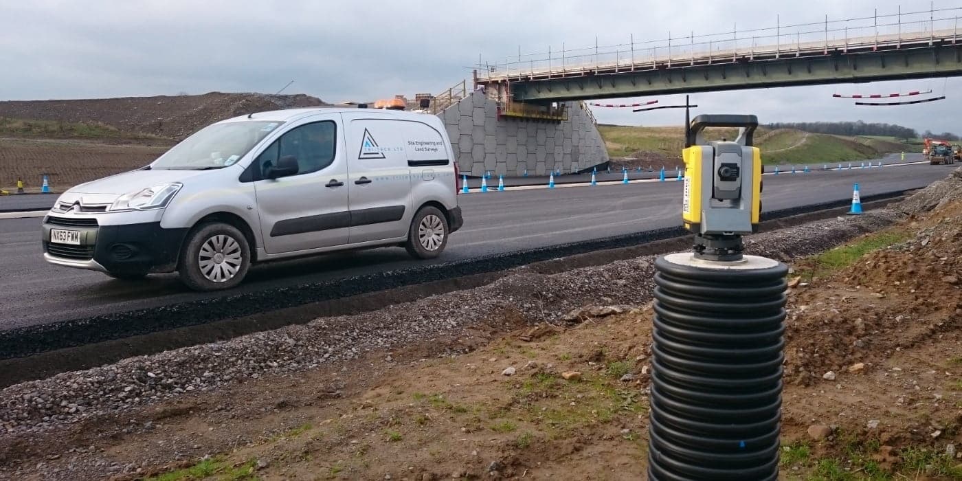
Bread and butter work for us! Having a strong relationship with many civil engineering companies we have a very strong team of Site Engineers and Engineering Surveyors working for us.
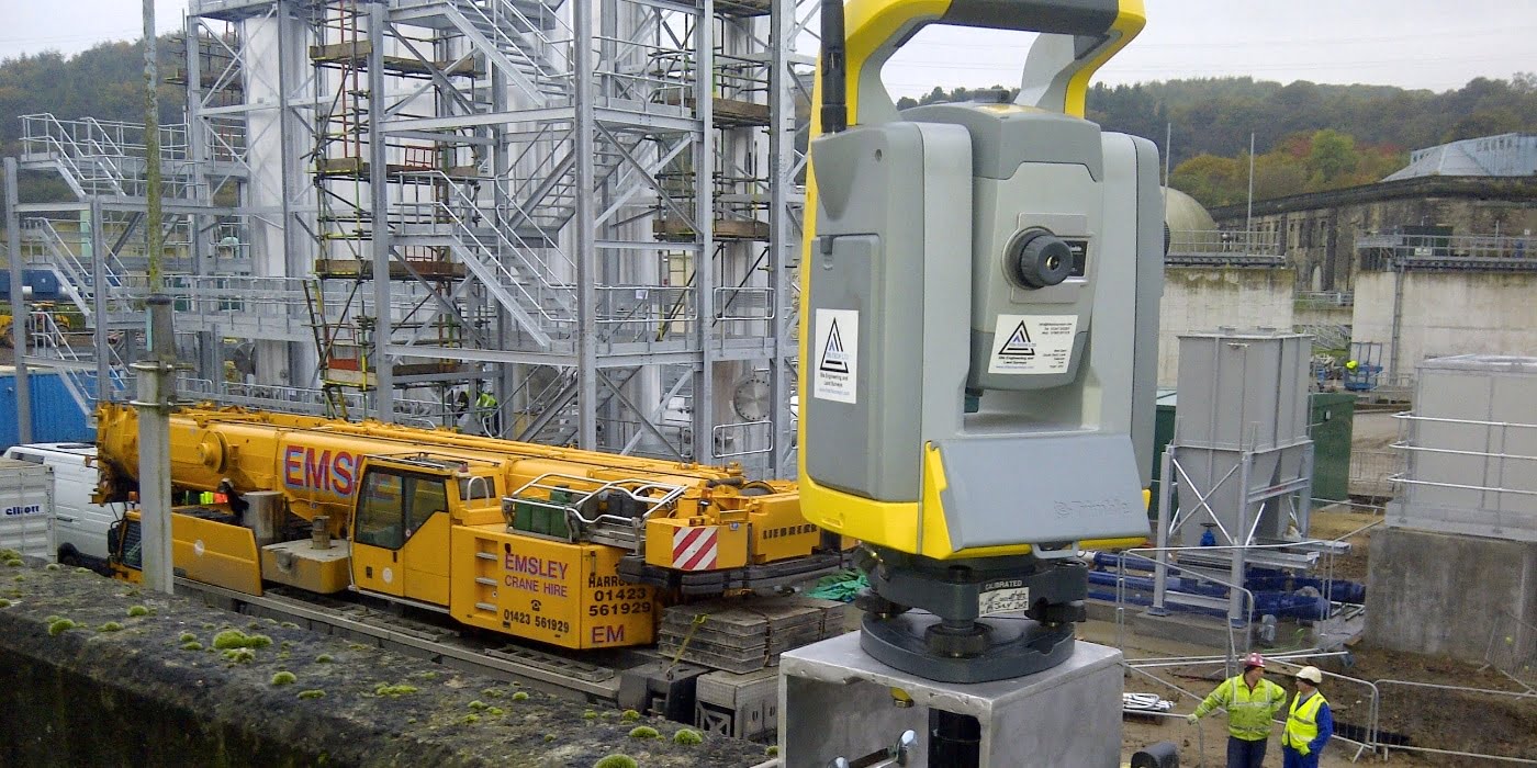
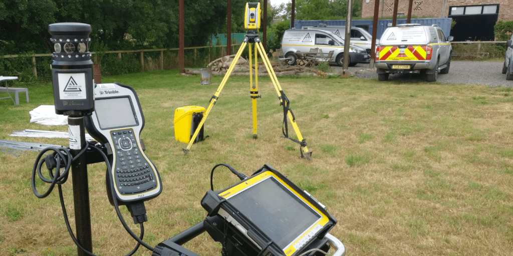
At Tri-Tech we have vast experience in this field. Be it a large highway scheme or a private property we can advise on what accuracies are required from your control network depending on what work you are carrying out and the tolerances you are carrying this work out to.
Large areas of ground can be covered capturing the most unbelievable detail which would just be unable to be recorded with traditional methods. Our clients have really seen the benefit of what UAV surveys bring to the table.
Tri-Tech work for a variety of different clients on different projects, and we pride ourselves on delivering accurate, efficient, cost effective surveys ensuring our clients receive the best possible product.
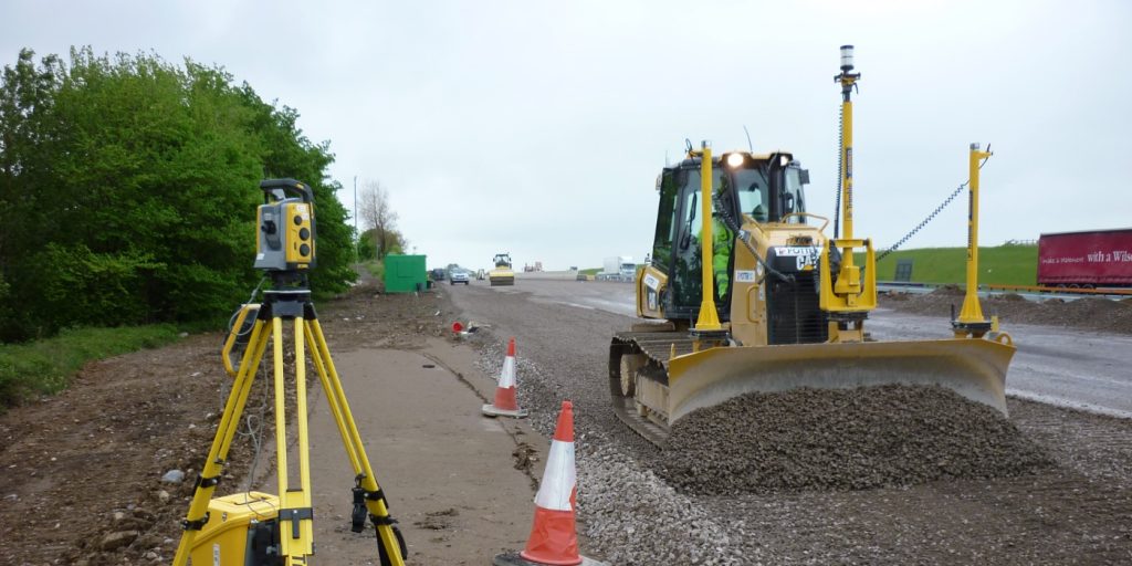
Machine control systems have been around for years now and Tri-tech have been utilising these systems from the very start. We realised the benefits of these systems early on when working with earthworks contractors.
Being a leader in the Surveying and Engineering sector we have a fleet of modern survey equipment at our disposal which is second to none. We carry the latest GNSS Base Stations, GNSS Rovers, Robotic Total Stations, Laser Scanners, Digital Levels, and Dual Grade Lasers.
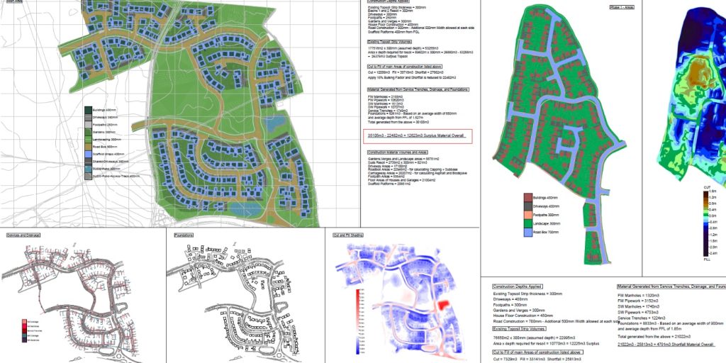
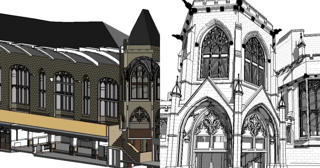
BIM (Building Information Modelling) model creation in surveying refers to the process of using specialised software to create a 3D digital model of a building or infrastructure project that includes information about the project’s design, construction, and maintenance.
Virtual Tour 3D is an immersive experience which instantly transports your clients to your business, and guides them through your space, creating a seamless and captivating experience.


 Leeds
Leeds Doncaster
 Sheffield
 Bradford
 Hull
Hull Halifax
 Sunderland
 Newcastle
 Middlesborough
 Yorkshire Moors
 Teesside
 Cumbria
 Harrogate
 Teesdale
 York
York Yorkshire Dales
 Northumberland
 Goole
Goole Carlisle
 Keswick
 Kendal
 Barrow-in-Furness
 Lancaster
 Blackpool
 Morecambe
 Southport
 Liverpool
 Wigan
Wigan Manchester
 Blackburn
 Burnley
 Forest of Bowland
 Oldham
 Chester
 Stockport
 Peak District
 Skipton
 Crewe
Crewe Rotherham
 Stoke
Stoke Driffield