Professional River & Bathymetric Surveys Across the UK
Based in Yorkshire, Operating Nationwide
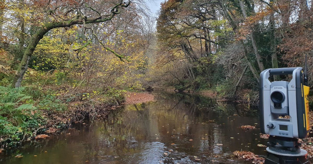
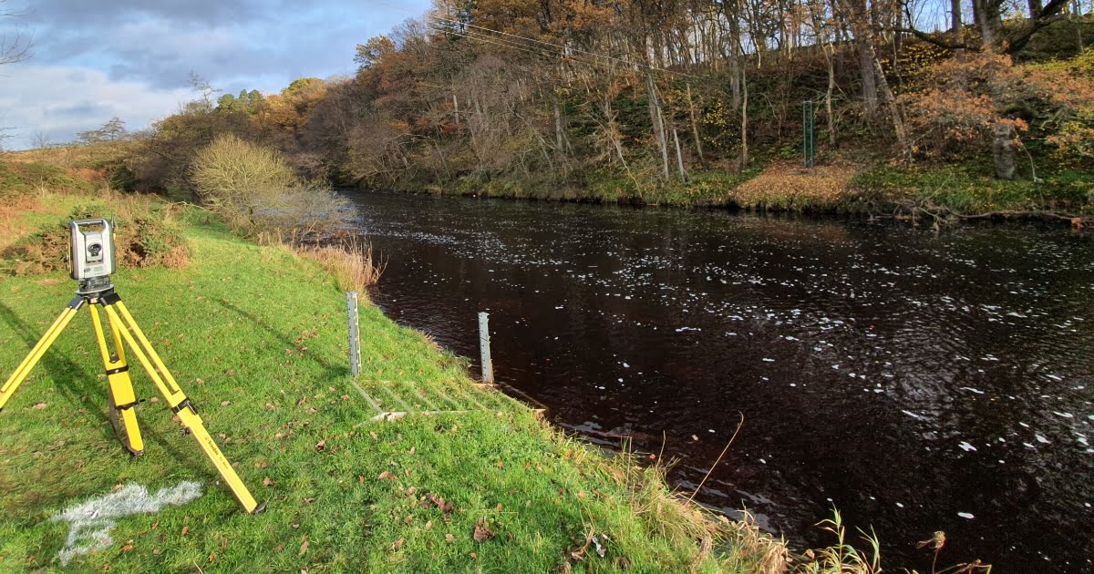
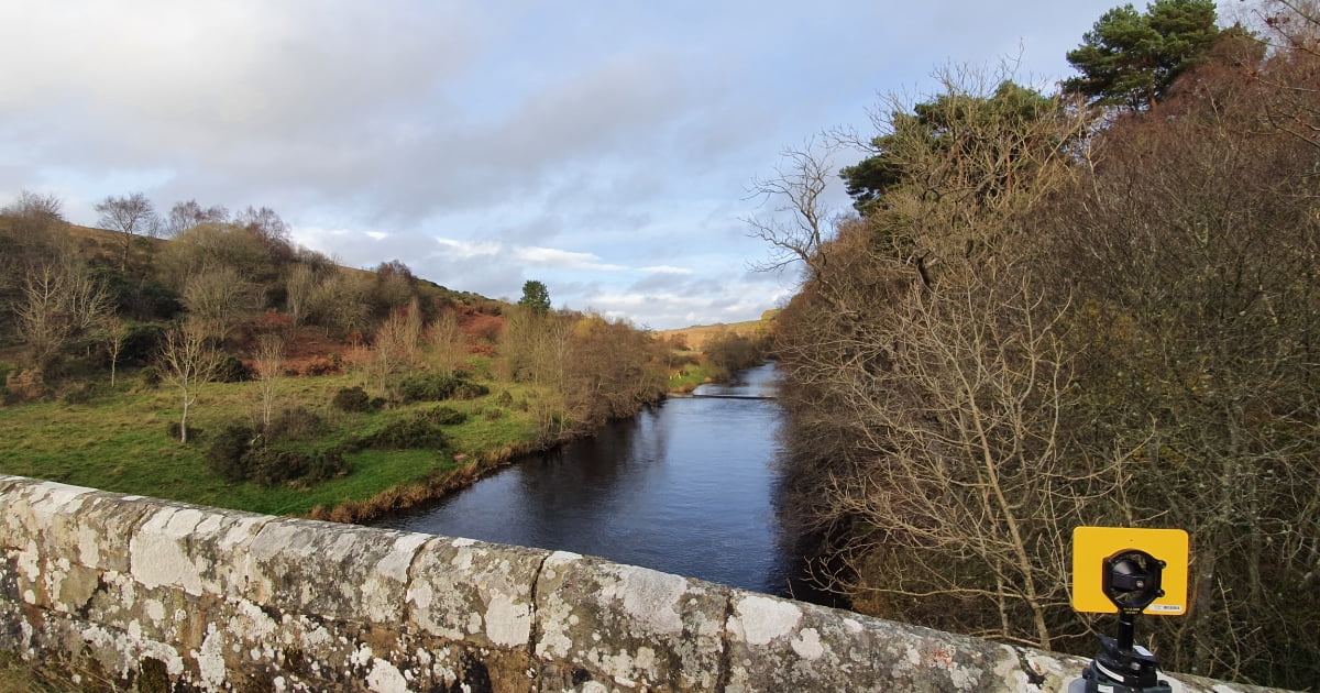
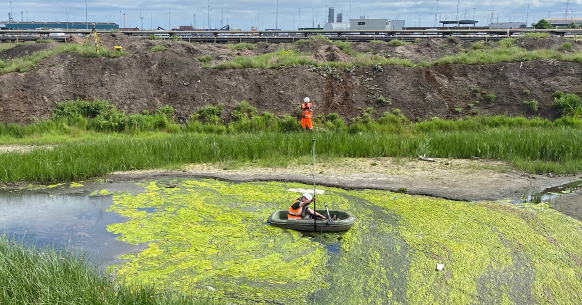
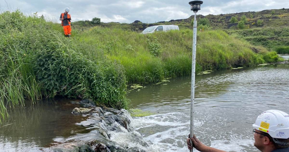
Understanding what’s happening beneath the water’s surface is essential when planning works near rivers and watercourses. At Tri-Tech, we carry out professional bathymetric and river surveys across Yorkshire and the UK, providing accurate data to support flood risk assessments, hydraulic modelling and infrastructure design.
We use modern surveying technology to capture detailed underwater and river channel information safely and efficiently – giving you reliable data you can trust. Whether you need detailed river sections, flood defence surveys or modelling-ready outputs, we’ll tailor our bathymetric survey to suit your project.
What Is a Bathymetric Survey?
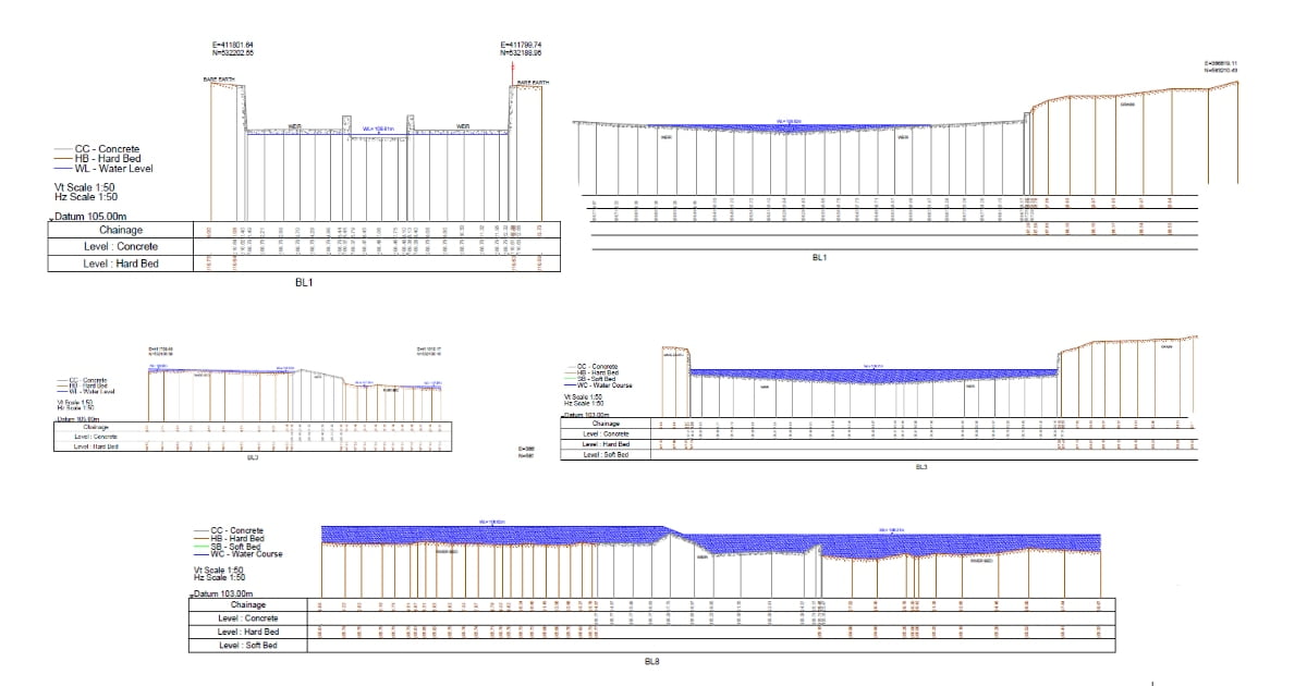
A bathymetric survey measures the depth and profile of water bodies such as rivers, streams, canals and reservoirs. It maps underwater terrain in the same way a topographical survey maps land.
Bathymetric surveys capture:
Riverbed levels (hard and soft bed)
Channel profiles
Longitudinal sections
Cross sections
Water depths and flow features
Flood plain levels
Adjacent topographical data
The resulting survey data forms the foundation for hydraulic modelling and flood risk analysis.
Environment Agency (EA) Compliant Surveys
We produce long and cross sections in line with Environment Agency (EA) standards, ensuring the data meets planning and regulatory requirements. We can also provide exports compatible with:
HEC-RAS
ISIS / InfoWorks
EACSD
Other hydraulic modelling software
This makes it easier for engineers and consultants to move straight into modelling and analysis.
Why Bathymetric Surveys Are Important
Accurate river survey data plays a key role in:
Flood risk assessments
Planning applications
Flood alleviation schemes
Infrastructure development near watercourses
Environmental impact studies
Hydraulic modelling and drainage design
If flood risk is a concern – whether during planning or development – reliable bathymetric data helps clarify the situation and support confident decisions.
Flood Alleviation & River Survey Services
We provide comprehensive bathymetric and river survey services, including:
Flood Alleviation Surveys
Surveying flood plains, doorstep levels and surrounding terrain to support flood mitigation schemes.
Flood Defence Surveys
Surveying flood embankments, walls and defence structures, including flood level contour chasing.
River & Stream Sections
Detailed long and cross sections including: hard and soft bed levels, bank profiles, channel geometry & adjacent topographical data
Flood Defence Surveys
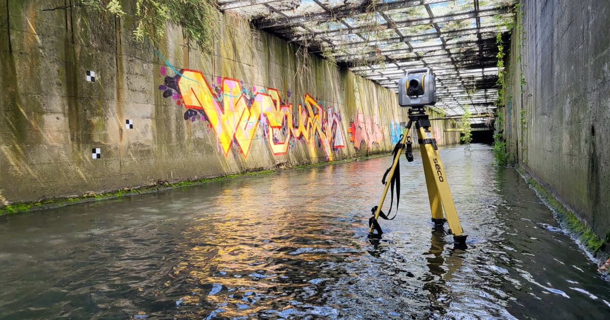
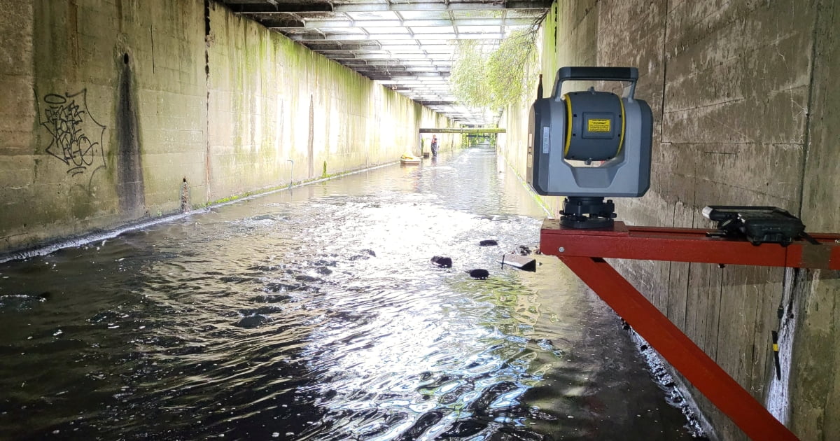
Surveying hydraulic structures including: bridge soffit levels, culvert dimensions, tunnel profiles, point clouds and elevations & integrated topographical mapping
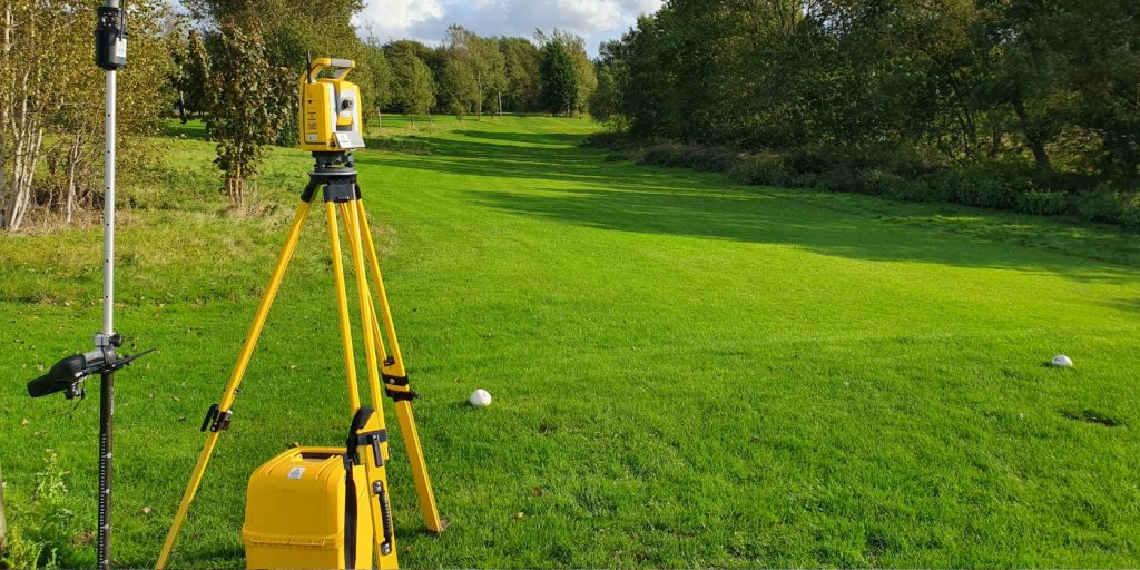
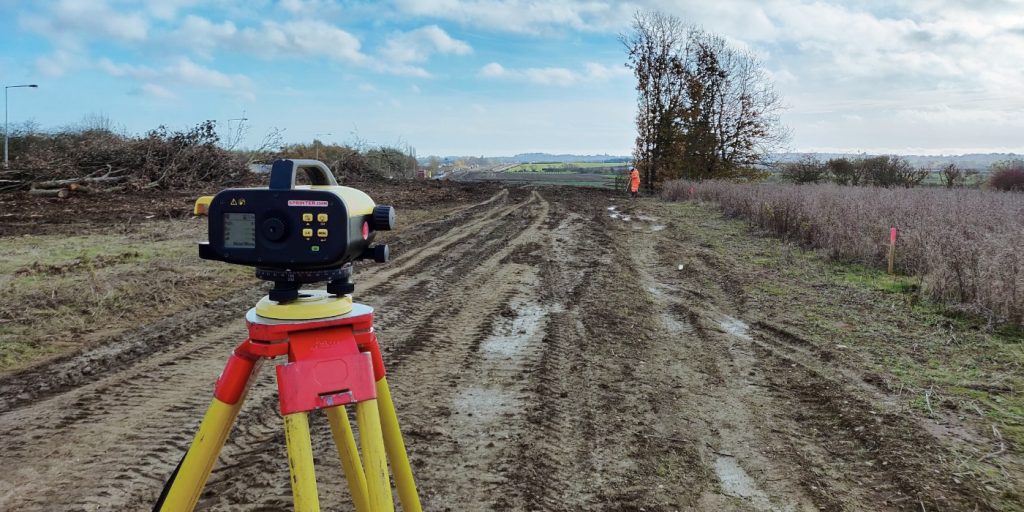
Survey Technology & Methodology
We use advanced surveying equipment to capture both watercourse and surrounding terrain data, ensuring complete and accurate datasets.
A river survey is a type of hydrographic survey that involves measuring and mapping the physical features of a river and its surroundings, including its
Tri-Tech work for a variety of different clients on different projects, and we pride ourselves on delivering accurate, efficient, cost effective surveys ensuring our clients receive the best possible product.
Using the latest equipment, we can provide the location of underground services in either 2D or 3D. We use state of the art Ground Penetrating Radar and Electromagnetic Location to assist your project when service avoidance may be a potential issue on site.
Is there any movement? That is the question that is asked before and during any monitoring scheme. That is the reason we undertake monitoring, to check for movement.
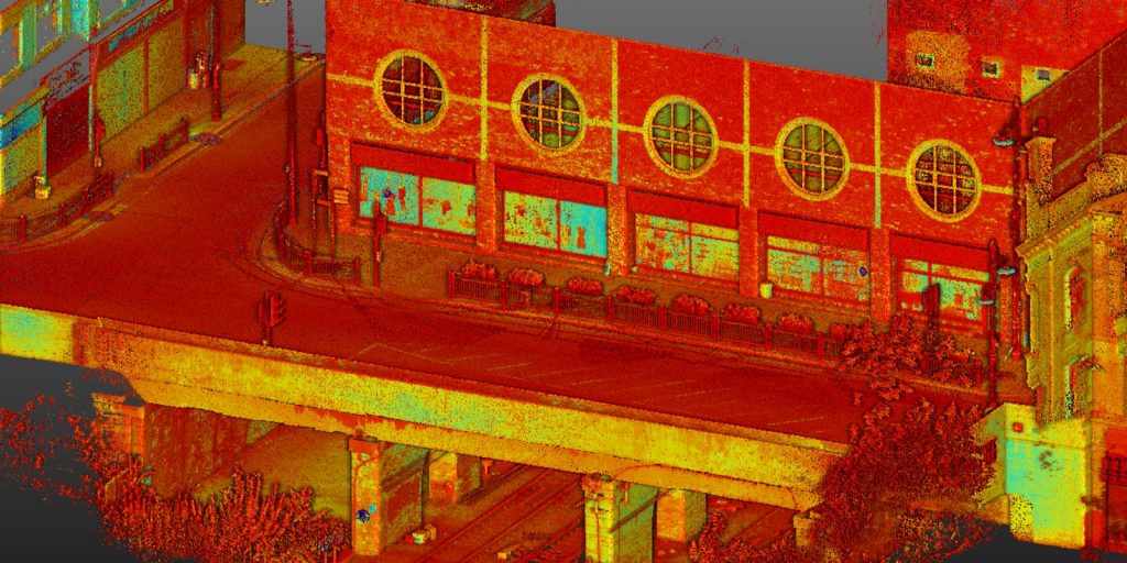
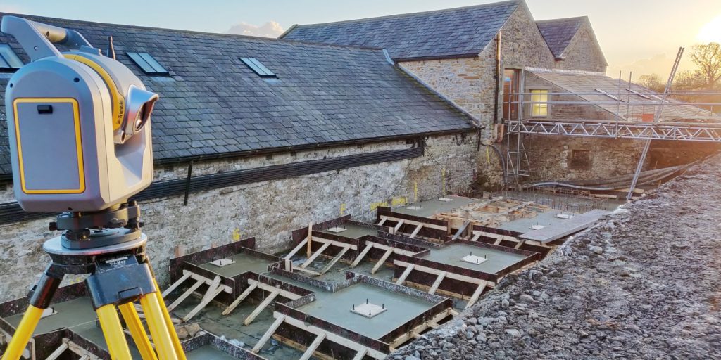
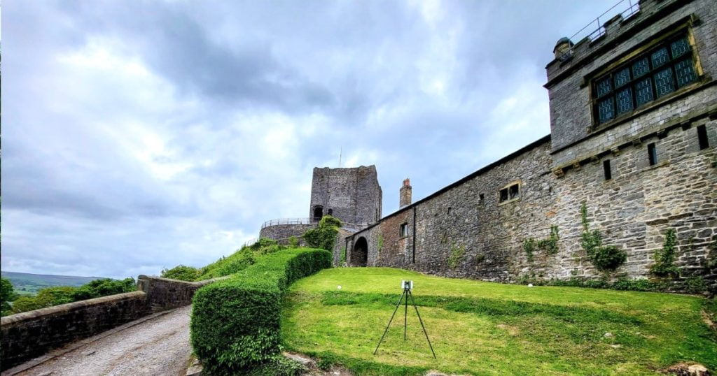
For mass collection of accurate survey data then nothing beats scanning. Using 3D laser Scanners the surveyors can capture millions of points per second with the creation of a PointCloud.
Bread and butter work for us! Having a strong relationship with many civil engineering companies we have a very strong team of Site Engineers and Engineering Surveyors working for us.
At Tri-Tech we have vast experience in this field. Be it a large highway scheme or a private property we can advise on what accuracies are required from your control network depending on what work you are carrying out and the tolerances you are carrying this work out to.
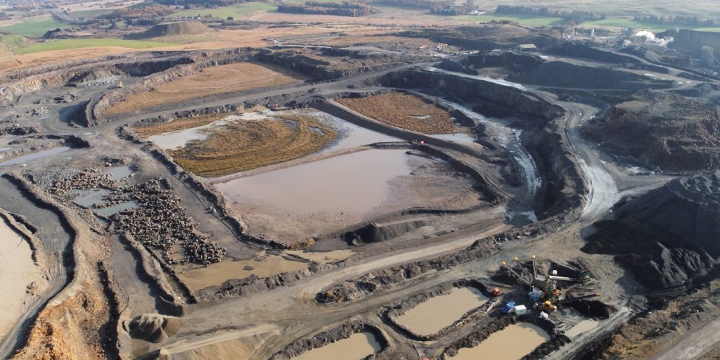
Large areas of ground can be covered capturing the most unbelievable detail which would just be unable to be recorded with traditional methods. Our clients have really seen the benefit of what UAV surveys bring to the table.
Tri-Tech work for a variety of different clients on different projects, and we pride ourselves on delivering accurate, efficient, cost effective surveys ensuring our clients receive the best possible product.
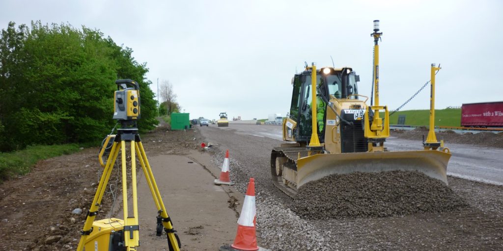
Machine control systems have been around for years now and Tri-tech have been utilising these systems from the very start. We realised the benefits of these systems early on when working with earthworks contractors.
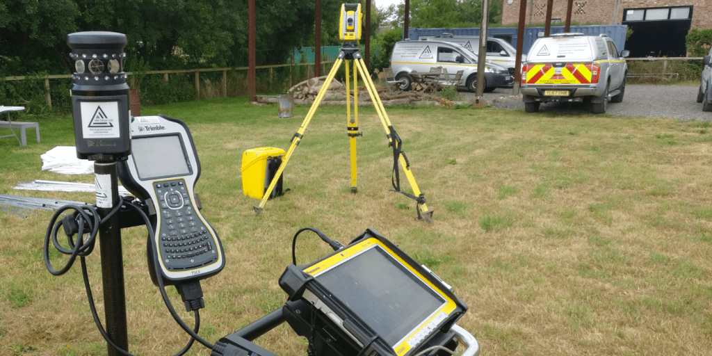
Being a leader in the Surveying and Engineering sector we have a fleet of modern survey equipment at our disposal which is second to none. We carry the latest GNSS Base Stations, GNSS Rovers, Robotic Total Stations, Laser Scanners, Digital Levels, and Dual Grade Lasers.
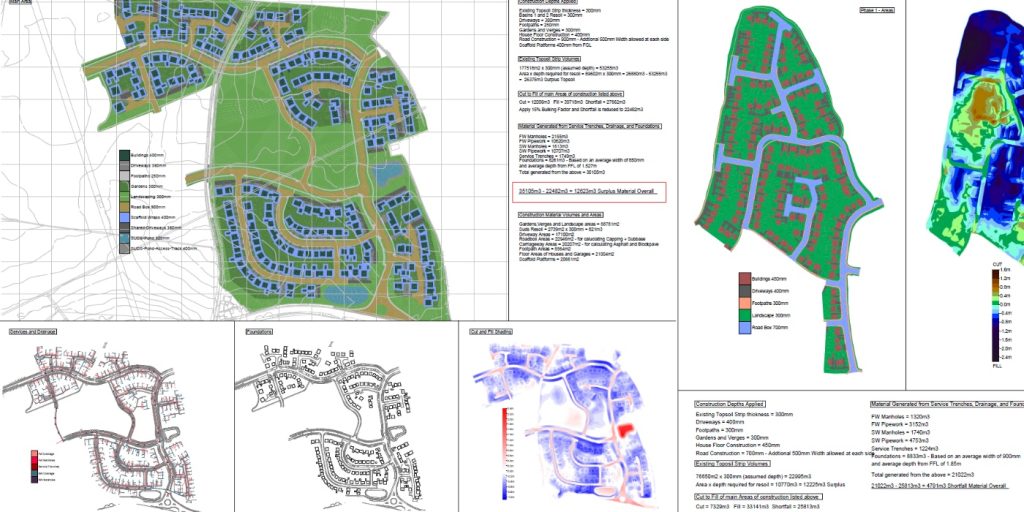
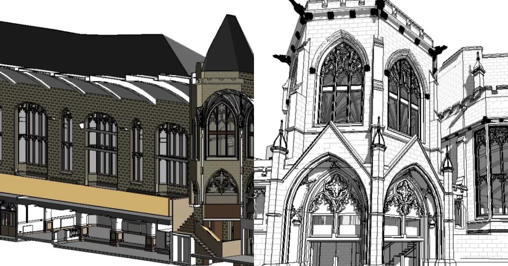
BIM (Building Information Modelling) model creation in surveying refers to the process of using specialised software to create a 3D digital model of a building or infrastructure project that includes information about the project’s design, construction, and maintenance.
Virtual Tour 3D is an immersive experience which instantly transports your clients to your business, and guides them through your space, creating a seamless and captivating experience.


 Leeds
Leeds Doncaster
 Sheffield
 Bradford
 Hull
Hull Halifax
 Sunderland
 Newcastle
 Middlesborough
 Yorkshire Moors
 Teesside
 Cumbria
 Harrogate
 Teesdale
 York
York Yorkshire Dales
 Northumberland
 Goole
Goole Carlisle
 Keswick
 Kendal
 Barrow-in-Furness
 Lancaster
 Blackpool
 Morecambe
 Southport
 Liverpool
 Wigan
Wigan Manchester
 Blackburn
 Burnley
 Forest of Bowland
 Oldham
 Chester
 Stockport
 Peak District
 Skipton
 Crewe
Crewe Rotherham
 Stoke
Stoke Driffield