Leeds
Leeds Doncaster
 Sheffield
 Bradford
 Hull
Hull Halifax
 Sunderland
 Newcastle
 Middlesborough
 Yorkshire Moors
 Teesside
 Cumbria
 Harrogate
 Teesdale
 York
York Yorkshire Dales
 Northumberland
 Goole
Goole Carlisle
 Keswick
 Kendal
 Barrow-in-Furness
 Lancaster
 Blackpool
 Morecambe
 Southport
 Liverpool
 Wigan
Wigan Manchester
 Blackburn
 Burnley
 Forest of Bowland
 Oldham
 Chester
 Stockport
 Peak District
 Skipton
 Crewe
Crewe Rotherham
 Stoke
Stoke Driffield


Before a planning application is submitted, an architect finalises the layout or a groundworker breaks the first soil, the entire programme is built on one question: what is actually here?
The answer does not come from approximations, a desk study or an old OS map. The programme needs precise and verifiable data with enough detail that every professional who follows can do their job with confidence. That question is answered by your geospatial engineering team. The quality of that answer shapes everything that comes after it.
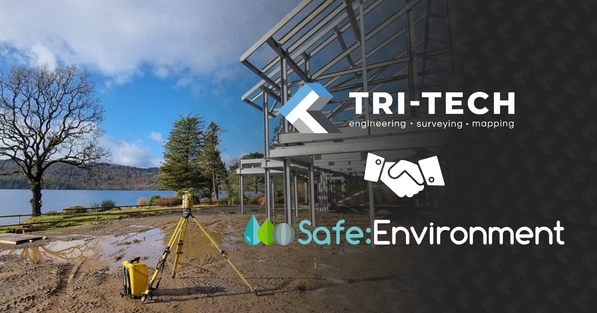
At Tri-Tech, we’ve been delivering survey programmes for residential developers across the UK for a number of years. Working with some of the most active housebuilders in the region at every stage of the development cycle, from initial land acquisition through the final as-built verification. This piece sets out what that work actually involves, why it matters commercially and what the difference looks like between a survey programme that serves the development and one that simply goes through the motions.
More than just a tick box
The most expensive mistake a housing developer can make with survey is treating it as a procurement exercise rather than a programme decision.
A topographic survey commissioned too late, briefed too loosely or delivered in the wrong format doesn’t just create a survey problem, it creates a design problem, a planning problem and eventually a commercial problem. Inaccurate or incomplete survey data leads to design errors and building issues further down the line, because every team downstream is working from data that doesn’t give them what they actually need.
The developers who get this right treat the survey as the first genuine investment in the programme. They commission it early, brief it to the standard the design team needs, and choose a survey partner who understands what residential development demands and not just what a survey specification says. The developers who don’t will eventually find out exactly why it matters later on in the programme and when it’s expensive to fix.

What a Housing Programme Actually Needs From Survey
A residential development needs a sequence of survey deliverables, each one feeding into the next stage of the programme and each one carrying a commercial consequence if it’s wrong, incomplete or late. Understanding that sequence – and delivering each part of it to the standard the programme needs – is what separates a genuine survey partner from a supplier who turns up, collects data and leaves.
The feasibility topo is the first document that makes a site real on paper. Before the architect draws a layout,the drainage engineer models a scheme, the planning consultant assesses the application – this is the data they are all working from. Accurate ground levels, boundary positions, drainage features, existing structures, trees and constraints are all captured, coded and delivered in a format the design team can use directly. At this stage, the survey informs the initial layout, the viability model and the planning strategy. Get it wrong and those bad assumptions travel all the way through to detailed design.
The brief for a feasibility topo needs to be right. Too light and the design team is filling in gaps with assumptions. Too heavy and the programme is paying for data it doesn’t need yet. An experienced survey team knows the difference and will advise accordingly.
Topographic Survey at Land Acquisition and Feasibility

On greenfield sites of any significant scale, UAV survey removes the need for operatives to walk potentially hazardous terrain. On active sites with unstable ground and uneven surfaces, keeping people out of unnecessary risk while still capturing accurate data is the primary benefit.
Beyond the safety advantage, UAV surveys offer a speed and coverage advantage that traditional ground-based methods simply cannot match. A single UAV mobilisation can capture orthomosaic imagery, a digital terrain model, contour data and site photography across a site that would take days to survey conventionally – to an accuracy that satisfies the design team’s requirements.
UAV Survey for Larger Sites

The methodology used depends on site conditions. Photogrammetry performs well on large-scale earthwork sites with significant bare ground. Where vegetation is present, LiDAR is the better choice – capable of penetrating through surface cover to capture true ground levels beneath, rather than the top of the vegetation. An experienced team will advise on the right approach for the site. For land teams working to tight acquisition timescales, the safety and speed advantages of UAV survey are increasingly difficult to ignore.
Before excavation begins on any residential site, every buried service needs to be located, classified and recorded. Safety is the primary consideration – sending operatives to excavate ground with unverified buried services is an unacceptable risk, both to the individuals on site and to the public. This is not only a CDM requirement but a fundamental duty of care.
PAS 128 utility mapping uses electromagnetic location and ground-penetrating radar to detect buried services and produce a georeferenced, documented dataset that the drainage designer, services engineer and groundworks contractor can work from directly. On brownfield sites in particular, where legacy infrastructure may be poorly recorded and unpredictable in its routing, this data is essential before any spade goes into the ground.
The commercial consequences of getting this wrong are significant. A utility strike on a live residential site stops work, triggers investigation, requires reinstatement and – depending on the service affected – can have serious safety consequences for operatives and the public. PAS 128 utility mapping, commissioned at the right stage and to the right quality level, removes that risk before it materialises.
PAS 128 Utility Mapping

Cut and Fill Analysis
Of all the survey deliverables on a residential programme, cut and fill analysis is arguably the most commercially significant. The earthworks package on a housing development is one of the largest cost items in the programme – and the accuracy of the cut and fill calculation determines whether the earthworks contractor is pricing from real data or from an estimate.
The difference between the two can be substantial. Hundreds of thousands of pounds on a large scheme. And if the earthworks contractor prices from an estimate that turns out to be wrong, the conversation about who carries the cost is one that nobody wants to have.
We produce cut and fill models directly from survey data – accurate, verified and in a format that quantity surveyors and earthworks contractors can programme and price from with confidence. On any site where significant earthmoving is planned, this is one of the highest-return survey investments available to the development team.
Where material is being retained on site – topsoil, fill, excavated material – stockpile volumetric surveys give the commercial team a verified, accurate record of what is present at any given point in the programme. For reconciliation, waste management reporting, commercial sign-off or simply keeping track of material movements across a large site, this data is increasingly important as programmes become more complex and reporting requirements more demanding. UAV-based stockpile surveys give the development team accurate volume figures across multiple stockpiles quickly and without requiring anyone to climb on or around the material.
Stockpile Volumetric Surveys

Once construction begins, the survey team moves into the field alongside the build team. Our setting out engineers work directly with the site team throughout the construction phase, establishing the control framework, setting out foundations, drainage, kerbs, roads and infrastructure, and providing the dimensional checks that keep the build on tolerance and on programme. Setting out on a live residential construction site means working around an active site environment, the programme and the commercial pressure that comes with housebuilding at volume. It requires surveyors who understand construction and who can operate as a genuine extension of the site team rather than a separate function passing through.
Setting Out Engineers

The Partnership That Makes the Difference
The residential developers we work with most effectively aren’t managing us as a supplier. They are working with a team that understands their programme well enough to anticipate what is needed next and that delivers it before it becomes urgent. That means data in formats that feed directly into design software without rework. It means being on site when the programme demands it, not when it is convenient for us. It means flagging something that doesn’t look right before it becomes a problem. And it means understanding that on a residential programme, the survey team’s job is to remove uncertainty and assumptions.
Across our work with residential developers throughout Yorkshire, the North East and the rest of the UK, we have delivered survey programmes on sites that are now completed developments – streets of houses, communities that didn’t exist a few years ago. The survey data we delivered at the start of those programmes underpins every one of them.
That is the work we do. And the measure of whether we have done it well is what gets built on the back of it.
Working With Tri-Tech on Your Next Development
If you are bringing a site forward in Yorkshire, the North East or the rest of the UK at any stage, from initial land acquisition through to construction – we would welcome the conversation. We work across the full residential development cycle, delivering topographic survey, UAV, PAS 128 utility mapping, cut and fill analysis, stockpile surveys and setting out engineering from a directly employed, multi-skilled team with experience across the full spectrum of residential scale and complexity. Every programme is quality assured and checked by experienced senior and management staff.
The earlier we are involved in a programme, the more useful we can be. A survey commissioned at the right stage, briefed to the right standard and delivered by the right team doesn’t just give you accurate data. It gives every professional who follows a foundation they can build on with confidence.