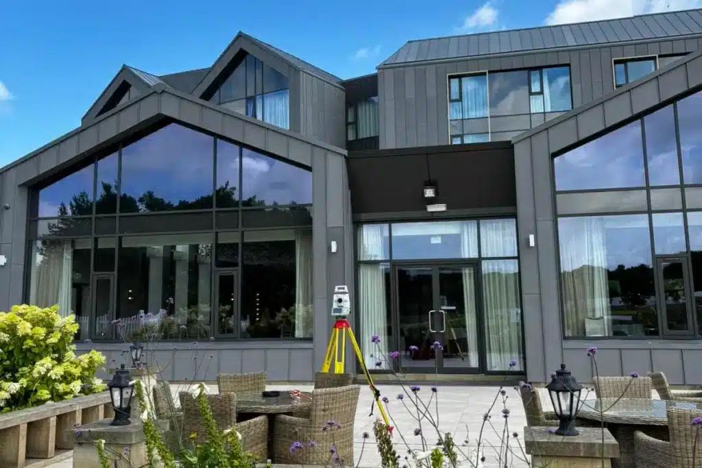
From single housing plots to large-scale developments, we deliver the accurate, reliable data that developers, planners, and designers need to build quality homes, sustainable neighbourhoods, and thriving communities.
Housing developments are under constant pressure to deliver faster, smarter, and more sustainably...
…without compromising on safety, compliance, or community impact. From uneven terrain and hidden utilities to outdated site data, even minor inaccuracies can cause costly setbacks during planning and construction.
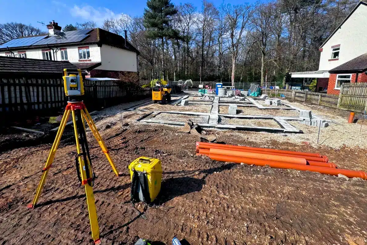
Developers need a survey partner who understands both the commercial realities of housing projects and the technical precision required to get them right the first time.
Supporting housing associations, developers, and local authorities across the UK.
Innovation in Action
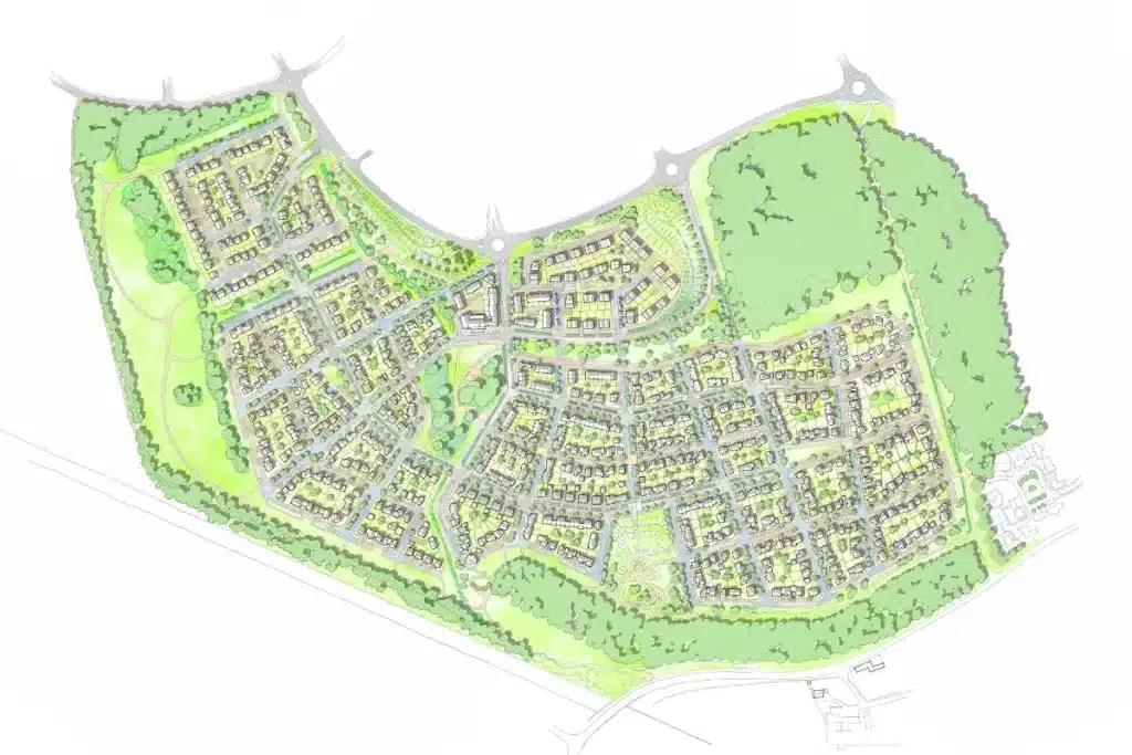
Using advanced laser scanning, SLAM technology, and aerial photogrammetry...
…we produce complete, high-resolution site models that help developers visualise constraints, plan infrastructure, and mitigate risk before construction begins.
Our integrated survey approach ensures every dataset aligns perfectly, giving designers and engineers the certainty they need to build smarter and faster.
As the UK transitions towards renewable energy and climate-resilient infrastructure, accurate surveying is the foundation. We see our role as partners shaping the future of sustainable development, providing the clarity and confidence needed to balance growth with environmental care.
Shaping Communities, One Detail at a Time
Behind every new street, every home, and every community is a foundation built on accurate data.
We’re proud to support the housing sector with the precision and professionalism it takes to turn plans into places people call home.


 Leeds
Leeds Doncaster
 Sheffield
 Bradford
 Hull
Hull Halifax
 Sunderland
 Newcastle
 Middlesborough
 Yorkshire Moors
 Teesside
 Cumbria
 Harrogate
 Teesdale
 York
York Yorkshire Dales
 Northumberland
 Goole
Goole Carlisle
 Keswick
 Kendal
 Barrow-in-Furness
 Lancaster
 Blackpool
 Morecambe
 Southport
 Liverpool
 Wigan
Wigan Manchester
 Blackburn
 Burnley
 Forest of Bowland
 Oldham
 Chester
 Stockport
 Peak District
 Skipton
 Crewe
Crewe Rotherham
 Stoke
Stoke Driffield