


 Leeds
Leeds
 Doncaster
 Sheffield
 Bradford
 Hull
Hull
 Halifax
 Sunderland
 Newcastle
 Middlesborough
 Yorkshire Moors
 Teesside
 Cumbria
 Harrogate
 Teesdale
 York
York
 Yorkshire Dales
 Northumberland
 Goole
Goole
 Carlisle
 Keswick
 Kendal
 Barrow-in-Furness
 Lancaster
 Blackpool
 Morecambe
 Southport
 Liverpool
 Wigan
Wigan
 Manchester
 Blackburn
 Burnley
 Forest of Bowland
 Oldham
 Chester
 Stockport
 Peak District
 Skipton
 Crewe
Crewe
 Rotherham
 Stoke
Stoke
 Driffield

A nationwide surveying and engineering company operating in both the public and private sectors.

Read about our Surveying Services, which include Topographical Services, Utility Mapping and Monitoring Campaigns.

We have created some answers to a series of questions which explains a little more about our services.
Head Office
North West Office
Glasgow Office
Bedford Office
Bedford Office
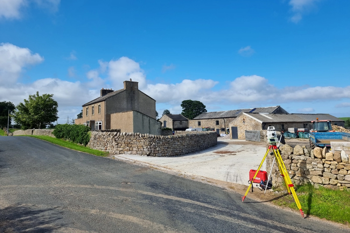
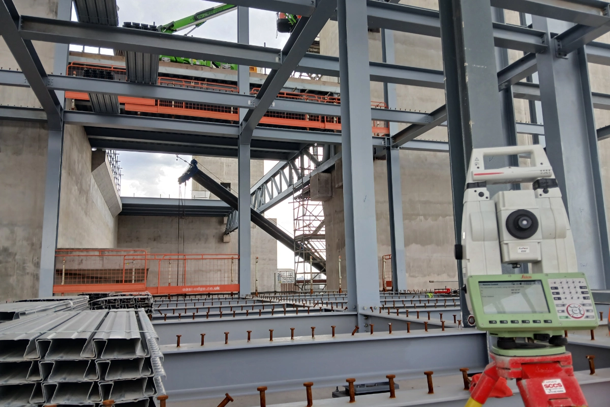
Tri-Tech Surveys is a nationwide surveying and engineering company based in Yorkshire, providing precise architectural, land and measured building surveying services across the UK. Whether your project is residential, commercial, infrastructure, or heritage-focused, we deliver the accurate data you need to support architecture, planning and construction with confidence.
We combine modern surveying technologies with decades of industry experience to support architects, project managers, property developers, national construction firms and local stakeholders throughout the lifecycle of building projects.
Utility mapping and site context surveys
Volumetric analysis and terrain modelling
Whether you are working on a feasibility study, planning submission, or detailed design, we provide the reliable survey foundation your project needs.
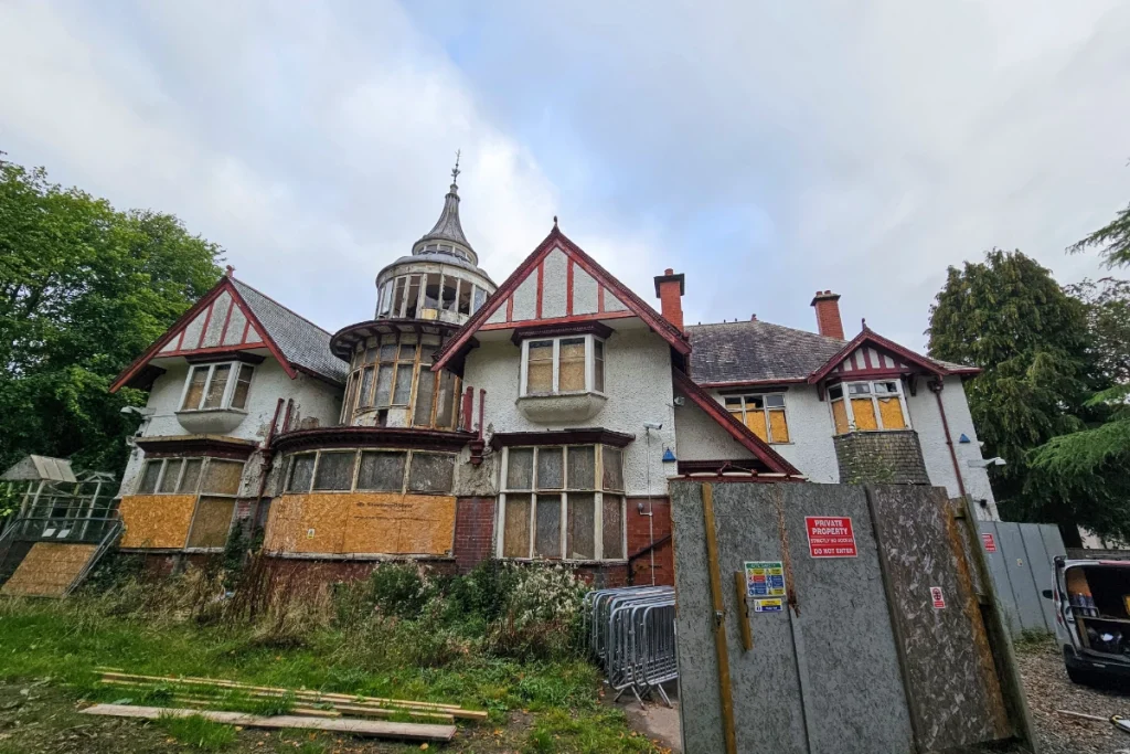
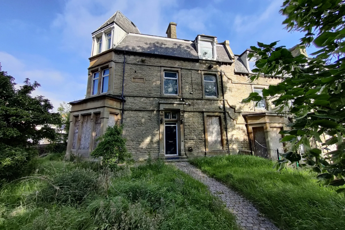
A measured building survey captures the real-world dimensions and internal/external details of an existing structure. For architects, this information forms the basis of design, planning submissions, and seamless integration of new elements with existing buildings.
Laser scanning gathers millions of data points to create a point cloud dataset that reflects actual conditions. This level of detail enables architects to model existing structures accurately, identify design constraints, and reduce uncertainty during planning approval and construction.
In most architectural projects, accurate survey data is essential before planning submission. It ensures all site and building information is correctly represented in planning documents, minimising delays or requests for additional information.
Yes, Tri-Tech delivers survey data that is fully compatible with BIM workflows, helping architects and engineers collaborate with accurate, detailed models throughout design and project delivery.