Leeds
Leeds Doncaster
 Sheffield
 Bradford
 Hull
Hull Halifax
 Sunderland
 Newcastle
 Middlesborough
 Yorkshire Moors
 Teesside
 Cumbria
 Harrogate
 Teesdale
 York
York Yorkshire Dales
 Northumberland
 Goole
Goole Carlisle
 Keswick
 Kendal
 Barrow-in-Furness
 Lancaster
 Blackpool
 Morecambe
 Southport
 Liverpool
 Wigan
Wigan Manchester
 Blackburn
 Burnley
 Forest of Bowland
 Oldham
 Chester
 Stockport
 Peak District
 Skipton
 Crewe
Crewe Rotherham
 Stoke
Stoke Driffield


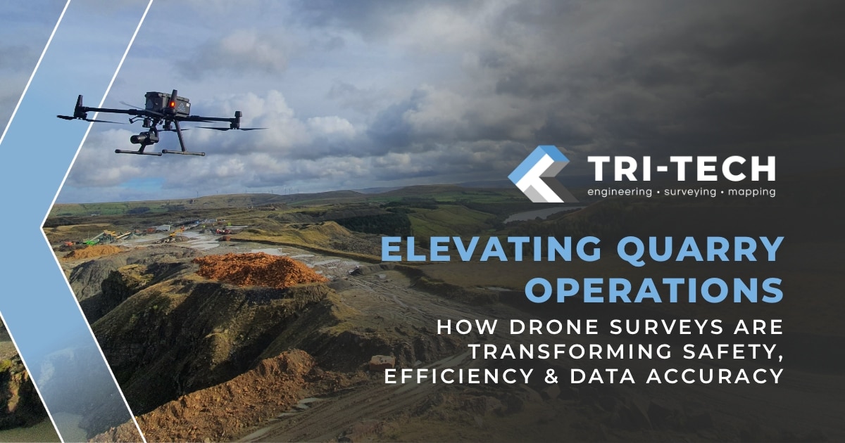
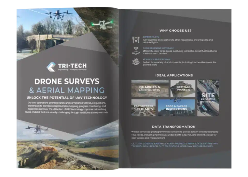
In an industry where terrain is constantly shifting and safety is paramount, quarry operators face a unique set of challenges. From tracking extraction progress to managing stockpiles and maintaining compliance with environmental and health and safety regulations, traditional surveying methods can be time-consuming, labour-intensive, and sometimes dangerous.
That’s why more quarry managers are turning to drone surveys: a modern solution that brings precision, speed, and safety to the forefront of quarry operations.

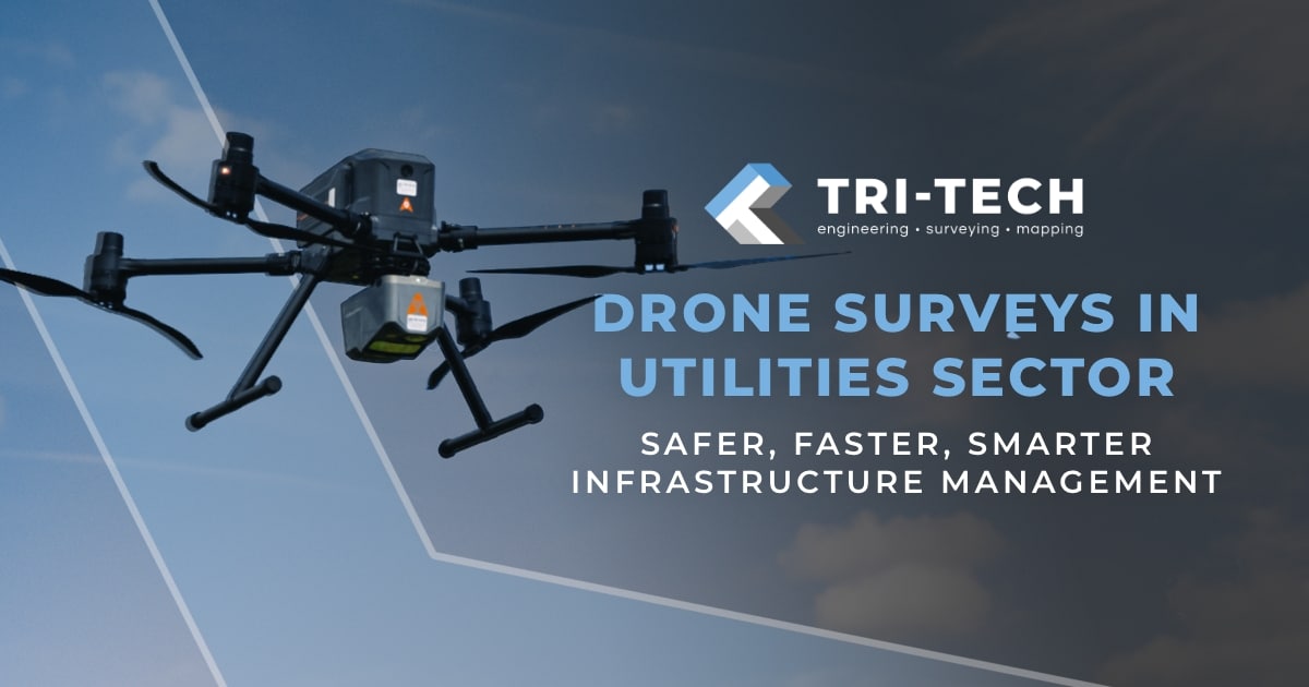
Why Drone Surveys?
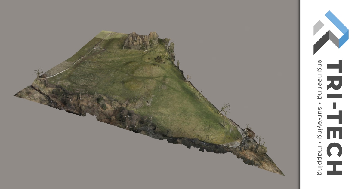
Drone surveys or UAV mapping utilise high-resolution aerial imagery and photogrammetry to deliver detailed, measurable 2D and 3D models of quarry sites. These digital outputs empower teams with actionable insights while minimising the need for on-site manual measurement.
0.1 Safety first: Reducing risk in hazardous environments
Quarries contain numerous high-risk areas such as steep slopes, unstable stockpiles, and sheer faces. Traditional surveying in these zones often places personnel in harm’s way.
With drones, surveyors can:
•Capture data from a safe distance, avoiding unstable terrain.
• Minimise time on foot, reducing risk of slips, trips, or exposure to heavy machinery zones.
• Comply with health and safety standards more effectively by reducing reliance on scaffolding or roped access.
For quarry managers, this means less downtime, reduced insurance risks and a safer workforce.
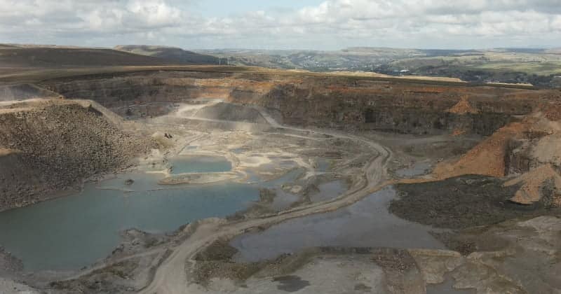
0.2 Accurate, repeatable volumetric analysis
One of the most valuable outputs from drone surveys in quarries is accurate volumetric data. Using photogrammetry and geo-referenced models, drones can measure:
• Stockpile volumes (sand, gravel, crushed rock)
• Excavation progress
• Backfill and overburden quantities
This data can be collected as often as required, supporting, inventory tracking, financial forecasting, regulatory compliance and dispute resolution. With drone technology, a survey that once took multiple site visits and manual calculations can now be completed in a matter of hours – with higher accuracy and full transparency.
0.3 Enhanced planning and change detection
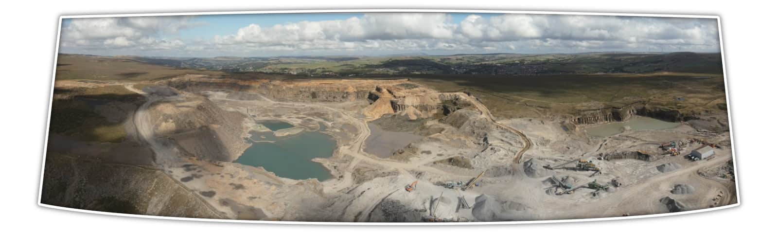
Quarry landscapes evolve daily, and drone surveys allow for consistent data capture. This means that changes in the terrain can be tracked over time, supporting cut/fill analysis, slope stability monitoring, haul road optimisation and environmental impact tracking.
Detailed orthomosaic maps and 3D terrain models can be integrated directly into CAD and BIM workflows, enabling planners and engineers to make informed decisions based on live conditions, not outdated measurements.
0.4 Operational Efficiency and Cost Savings
Drones drastically reduce the time and resources required for site surveys. There’s no need for costly access equipment or extended manual measurements. Plus the visual outputs can be shared with remote teams, stakeholders, or regulatory bodies – saving time on reporting and collaboration.
The key benefits include reduced downtime and survey hours with a faster project turnaround, fewer onsite personnel needed and data transparency across teams is improved.
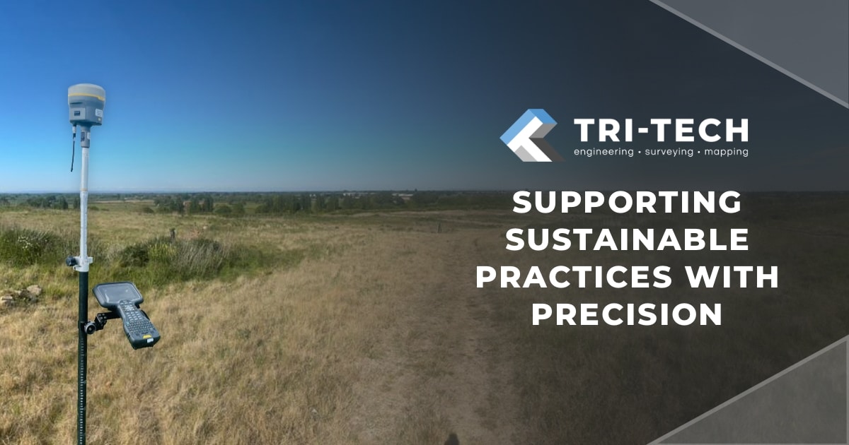
0.5 Sustainability and Compliance Support
With increasing pressure to operate sustainably, drone surveys also play a role in environmental management. They help document land use, monitor rehabilitation zones, and ensure compliance with extraction limits and planning conditions.
By archiving drone data sets over time, quarry managers build a digital trail that supports:
Planning
applications
Environmental
audits
Sustainability
reporting
The future of Quarry surveying
As drone capabilities continue to evolve, with LiDAR integration, thermal imaging and even AI-based analysis, their role in quarry management will only grow. By supporting quarry sites with the latest drone surveying technology, we are able to produce in-depth data reporting with precision, speed and safety, elevating the quarry surveying process.