Leeds
Leeds Doncaster
 Sheffield
 Bradford
 Hull
Hull Halifax
 Sunderland
 Newcastle
 Middlesborough
 Yorkshire Moors
 Teesside
 Cumbria
 Harrogate
 Teesdale
 York
York Yorkshire Dales
 Northumberland
 Goole
Goole Carlisle
 Keswick
 Kendal
 Barrow-in-Furness
 Lancaster
 Blackpool
 Morecambe
 Southport
 Liverpool
 Wigan
Wigan Manchester
 Blackburn
 Burnley
 Forest of Bowland
 Oldham
 Chester
 Stockport
 Peak District
 Skipton
 Crewe
Crewe Rotherham
 Stoke
Stoke Driffield


A topographical or land survey is a detailed type of survey that maps and records the physical features of a site. It captures both natural and man-made elements, including:
Ground levels and contours
Vegetation, trees, and hedgerows
Buildings, structures, and hardstanding
Roads, pathways, and access routes
Watercourses, drainage features, and bodies of water
Topographical surveys are similar in principle to mapping produced by the Ordnance Survey, however they are far more specialised and produced at much higher scales — typically 1:200 or 1:500, rather than 1:25,000. This level of detail makes them essential for design, planning, and construction projects.
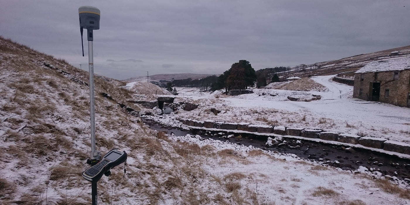
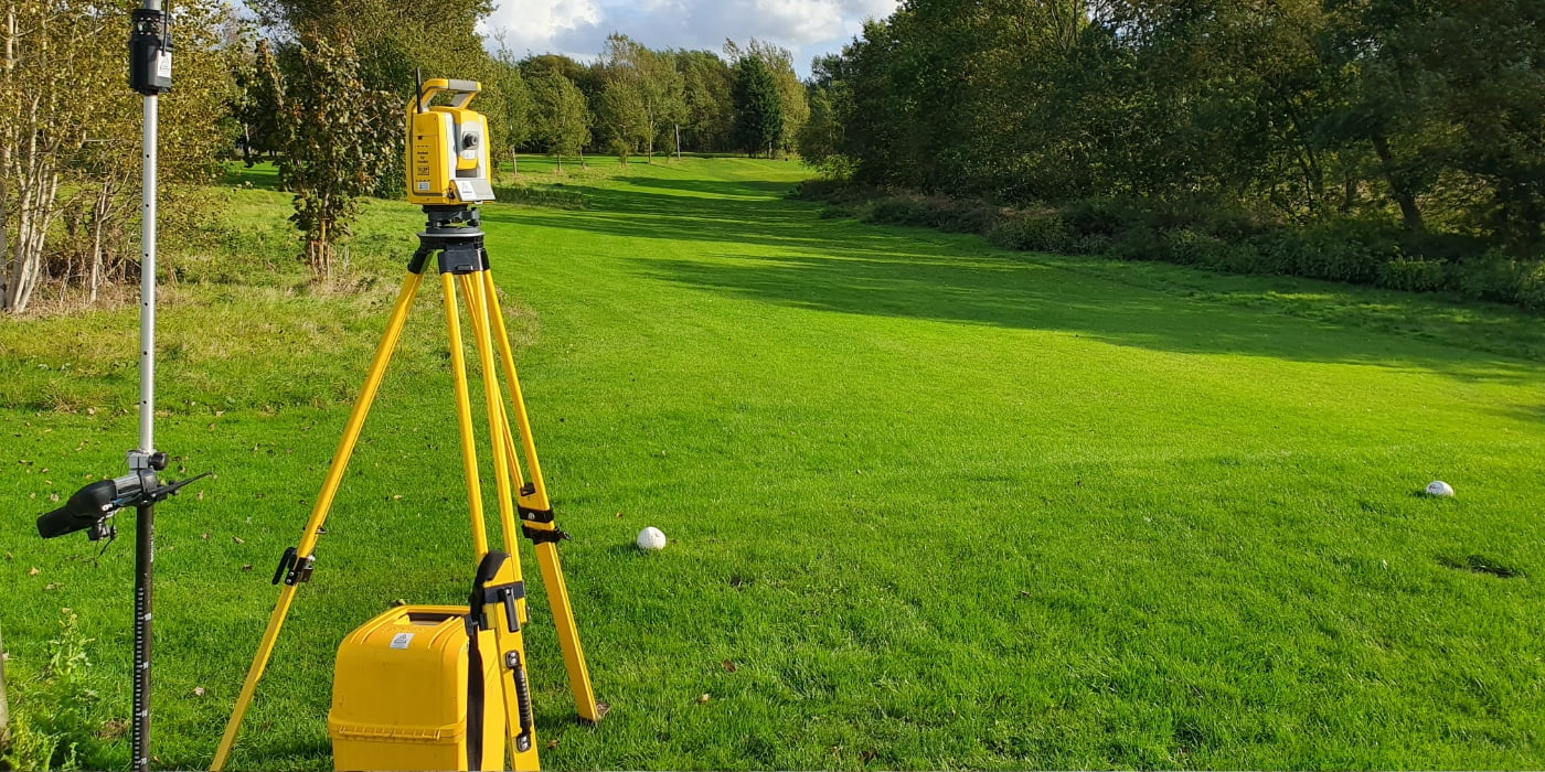
Surveys are carried out using advanced equipment and modern surveying technologies such as:
Total stations
GPS & GNSS positioning systems
3D laser scanning
The collected survey data is processed using specialist survey software to produce accurate, up-to-date deliverables such as 2D CAD drawings, 3D terrain models, and detailed site plans.
How much does a topographical survey cost?
This can vary due to the time taken to undertake the survey, the size of the overall site, site conditions and the intended use of the survey. Please get in contact to arrange a specific quote for your project.
Why are Topographical Surveys important?
Topographical surveys are used across a wide range of industries, including construction, engineering, land development, and infrastructure planning. They provide critical information about the shape and layout of the land, helping identify potential challenges such as:
Steep slopes or unstable ground
Wetlands or environmentally sensitive areas
Drainage constraints
Areas at risk of flooding
A topographical survey also helps ensure that all stakeholders – from architects to engineers and contractors – are working from the same accurate site data, reducing risk and improving project efficiency.
How is topographical survey data used?
The information generated from a topographical survey is vital in the design and planning of construction and development projects. It supports the preparation of:
Planning application drawings
Detailed site layouts
Engineering design models
Infrastructure routes and alignment plans
These survey outputs enable professionals to make informed decisions before work begins on site, helping to prevent costly design errors and delays.
Topographical surveys are commonly commissioned:
Before construction begins (existing site conditions)
After construction (as-built surveys)
For planning permission submissions
To understand site constraints and opportunities


common applications of topographical surveys
Land-Use Planning
A topographical survey provides essential information to determine the best use of land and highlights any constraints that may affect development.
Construction Planning
For new building projects, topographical surveys help identify the most suitable location and design approach, taking into account slopes, vegetation, and existing structures.
Infrastructure Development
Topographical surveys are widely used for roads, railways, bridges, pipelines, and utilities, providing detailed terrain information for safe and efficient design.
Environmental & Ecological Assessments
Survey data can identify areas of environmental significance and support sustainable land management and conservation planning.
Flood Risk Assessments
In flood-prone areas, accurate elevation and contour information is critical for assessing flood risk and designing effective drainage solutions.
Property & Boundary Clarification
Topographical surveys may also assist in resolving boundary or land ownership disputes by providing an accurate and up-to-date record of site features.

A good topographical survey will be used in the initial stages but also referred to throughout the life of a project. Our Topographical surveys go through high scrutiny before issuing to our clients to make sure they are up to the highest quality possible.
summary
A topographical land survey provides the accurate, detailed site data needed to support successful planning, design, and construction projects. From land-use planning and infrastructure development to flood risk assessments and environmental considerations, a professional topographical survey ensures decisions are based on reliable, up-to-date information.
If you’re planning a project and need clear insight into your site’s levels, features, and constraints, our experienced team is here to help.
Contact Tri-Tech Surveys today for expert advice and a competitive, tailored quote. Whether you’re at early planning stage or ready to proceed, we’ll guide you through the process and deliver the precise survey data your project depends on.