

 Leeds
Leeds
 Doncaster
 Sheffield
 Bradford
 Hull
Hull
 Halifax
 Sunderland
 Newcastle
 Middlesborough
 Yorkshire Moors
 Teesside
 Cumbria
 Harrogate
 Teesdale
 York
York
 Yorkshire Dales
 Northumberland
 Goole
Goole
 Carlisle
 Keswick
 Kendal
 Barrow-in-Furness
 Lancaster
 Blackpool
 Morecambe
 Southport
 Liverpool
 Wigan
Wigan
 Manchester
 Blackburn
 Burnley
 Forest of Bowland
 Oldham
 Chester
 Stockport
 Peak District
 Skipton
 Crewe
Crewe
 Rotherham
 Stoke
Stoke
 Driffield

A nationwide surveying and engineering company operating in both the public and private sectors.

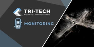
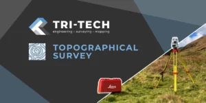
Read about our Surveying Services, which include Topographical Services, Utility Mapping and Monitoring Campaigns.

We have created some answers to a series of questions which explains a little more about our services.
Head Office
North West Office
Glasgow Office
Bedford Office
Bedford Office

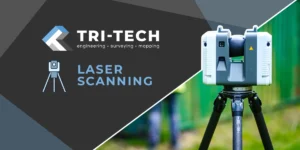
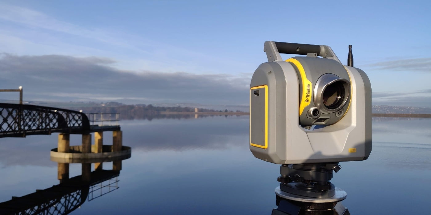
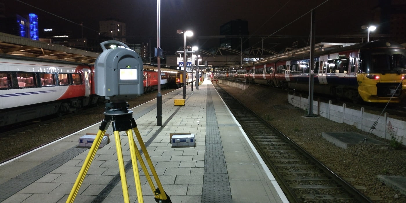
Laser scanning, also known as lidar (Light Detection and Ranging), is a surveying technology that uses laser beams to accurately measure the distance, shape, and position of objects in a given environment. The laser scans the environment and collects data, which is then processed to create a highly accurate 3D model of the environment.
Laser scanning is used in a variety of applications, including:
Following our survey, a point cloud is generated which can be used for a variety of tasks. It can be digitised to create 3D linework to create a traditional topographical survey, some clients like to see the the original point cloud or a full 3D Model/BIM model can be created from the point cloud.
Laser scanning provides highly accurate and detailed data, which can be used for a variety of purposes, including design and planning, construction and maintenance, heritage and cultural preservation, and more.
Laser scanning can save time and reduce costs compared to traditional surveying methods, as it can quickly and efficiently capture large amounts of data in a single scan.