


 Leeds
Leeds
 Doncaster
 Sheffield
 Bradford
 Hull
Hull
 Halifax
 Sunderland
 Newcastle
 Middlesborough
 Yorkshire Moors
 Teesside
 Cumbria
 Harrogate
 Teesdale
 York
York
 Yorkshire Dales
 Northumberland
 Goole
Goole
 Carlisle
 Keswick
 Kendal
 Barrow-in-Furness
 Lancaster
 Blackpool
 Morecambe
 Southport
 Liverpool
 Wigan
Wigan
 Manchester
 Blackburn
 Burnley
 Forest of Bowland
 Oldham
 Chester
 Stockport
 Peak District
 Skipton
 Crewe
Crewe
 Rotherham
 Stoke
Stoke
 Driffield

A nationwide surveying and engineering company operating in both the public and private sectors.

Read about our Surveying Services, which include Topographical Services, Utility Mapping and Monitoring Campaigns.

We have created some answers to a series of questions which explains a little more about our services.
Head Office
North West Office
Glasgow Office
Bedford Office
Bedford Office

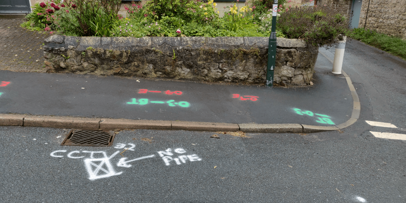
Utility mapping is the process of locating, identifying, and mapping underground utilities such as water and sewage pipes, electrical and communications cables, gas lines, and other infrastructure. The goal of utility mapping is to create an accurate and up-to-date record of the location and type of utilities in a given area, and to provide this information to contractors, engineers, and other professionals who need to work on or near these utilities.
Utility mapping is typically done using a combination of ground-penetrating radar (GPR), electromagnetic location equipment, and other specialized tools and technologies. This information is then compiled into a detailed map that shows the location and type of each utility, as well as its depth and any other relevant information.
Utility mapping is important for several reasons, including:
If you require a Utility Mapping Survey, simply get in touch.