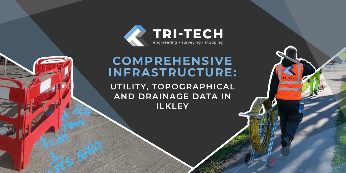
Leeds
Leeds Doncaster
 Sheffield
 Bradford
 Hull
Hull Halifax
 Sunderland
 Newcastle
 Middlesborough
 Yorkshire Moors
 Teesside
 Cumbria
 Harrogate
 Teesdale
 York
York Yorkshire Dales
 Northumberland
 Goole
Goole Carlisle
 Keswick
 Kendal
 Barrow-in-Furness
 Lancaster
 Blackpool
 Morecambe
 Southport
 Liverpool
 Wigan
Wigan Manchester
 Blackburn
 Burnley
 Forest of Bowland
 Oldham
 Chester
 Stockport
 Peak District
 Skipton
 Crewe
Crewe Rotherham
 Stoke
Stoke Driffield


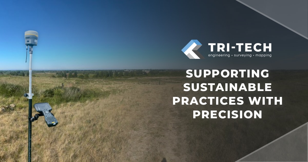
Sustainability in civil engineering is often discussed in terms of materials, energy systems and carbon targets. Concrete alternatives, electrified plants, and low-carbon infrastructure strategies dominate the conversation.
Yet one of the most important contributors to sustainable infrastructure sits much earlier in the project lifecycle: understanding the ground itself.
Before a drainage system is designed, before earthworks are balanced and before construction logistics are planned, engineers rely on accurate survey information to understand the terrain, existing assets and environmental constraints that define a site.
Surveying provides the spatial intelligence that allows civil engineers to design infrastructure that works with the landscape rather than against it. In doing so, surveyors quietly support many of the sustainability strategies now shaping the future of infrastructure delivery.
Designing with the Landscape
Many sustainable infrastructure strategies rely on understanding how a site behaves naturally. Topographical surveys provide the detailed terrain models that engineers use to analyse gradients, flow paths and surface water behaviour. This information forms the foundation for drainage modelling and Sustainable Drainage Systems (SuDS) design.
Rather than forcing water into energy-intensive drainage networks, SuDS approaches aim to mimic natural hydrological processes. Features such as swales, attenuation basins and permeable surfaces are positioned according to existing site levels and catchment patterns. Without accurate survey data, these systems cannot function effectively. Surveyors therefore play a direct role in enabling infrastructure that supports natural water management and flood resilience.
Reducing Carbon Through Smarter Earthworks
Earthworks represent one of the largest carbon contributors on many civil engineering projects. Excavation, haulage and imported materials require significant plant usage and transport. Detailed terrain models produced through modern survey techniques allow engineers to develop balanced earthworks strategies, minimising the need to remove or import material.

By accurately modelling cut-and-fill volumes, engineers can optimise grading strategies to:
- reduce material transport
- minimise excavation
- reuse material on site
These strategies reduce both construction costs and carbon emissions, demonstrating how accurate survey data can directly influence the environmental performance of a project.
Protecting Existing Environmental Assets
Civil engineering projects increasingly need to work alongside environmental and ecological constraints. Surveyors play a critical role in identifying and documenting these features early in the design process.
Detailed surveys can record:
- existing trees and vegetation
- watercourses and wetlands
- landscape features
- infrastructure and underground utilities
When these constraints are understood early, engineers can design infrastructure that works around sensitive environmental areas rather than disturbing them unnecessarily. This early understanding reduces ecological disruption and supports more responsible infrastructure development.

Preventing Waste Through Accurate Design
One of the less visible contributors to carbon emissions in construction is rework. When site conditions differ from design assumptions, engineers often need to revise designs, relocate infrastructure or adjust construction methods. These changes can result in additional excavation, wasted materials and extended construction programmes.
Reliable survey information reduces this risk by ensuring designs are developed from verified site conditions rather than assumptions. In this way, accurate surveying supports sustainability by helping projects avoid the environmental impact associated with redesign and construction adjustments.
Enabling Digital Engineering
As infrastructure projects become increasingly digitised, survey data is playing an even greater role in sustainable engineering workflows. High-resolution survey datasets now form the foundation of BIM models and digital twins, allowing engineers to simulate infrastructure performance before construction begins.

These digital environments allow project teams to analyse:
- drainage behaviour
- environmental impact
- infrastructure efficiency
- long-term maintenance requirements
By supporting digital engineering, surveyors enable engineers to test and optimise infrastructure solutions in a virtual environment before committing resources on site.
Supporting Sustainable Construction Logistics
Construction activity itself carries a significant environmental footprint. Survey data can help engineers and contractors plan construction logistics more efficiently by identifying:
- optimal access routes
- plant operating areas
- temporary works locations
- site compound positions
This planning can reduce unnecessary vehicle movements, plant usage and fuel consumption during the construction phase. In large infrastructure schemes, even small improvements in logistics planning can result in substantial reductions in carbon emissions.

Infrastructure That Lasts
Sustainability in infrastructure is not only about reducing emissions during construction. It also involves ensuring assets perform reliably over long periods. Surveying supports this through monitoring and verification surveys, which track movement, settlement or structural change in infrastructure assets. These monitoring strategies allow engineers to detect issues early and intervene before major repairs or reconstruction are required.
By supporting long-term asset management, surveying contributes to infrastructure that is both resilient and sustainable.
The Surveyor–Engineer Collaboration
Civil engineering has always relied on a close working relationship between engineers and surveyors. Surveyors document the physical environment. Civil engineers interpret that information to design infrastructure that interacts safely and efficiently with it.
As sustainability becomes a defining challenge for the industry, this partnership is becoming even more important. Accurate survey data allows engineers to design infrastructure that uses fewer materials, reduces environmental disruption and operates efficiently throughout its lifecycle.
Building Sustainability from the Ground Up
Much of the discussion around sustainable infrastructure focuses on new technologies and innovative materials. But sustainability often begins with something far more fundamental: understanding the ground on which infrastructure is built.
Surveying provides that understanding. By delivering accurate spatial data that informs design, construction and asset management, surveyors play an essential role in helping civil engineers deliver infrastructure that is both efficient and environmentally responsible.
In the pursuit of sustainable engineering, the ground beneath our feet remains one of the most important starting points.