
 Leeds
Leeds Doncaster
 Sheffield
 Bradford
 Hull
Hull Halifax
 Sunderland
 Newcastle
 Middlesborough
 Yorkshire Moors
 Teesside
 Cumbria
 Harrogate
 Teesdale
 York
York Yorkshire Dales
 Northumberland
 Goole
Goole Carlisle
 Keswick
 Kendal
 Barrow-in-Furness
 Lancaster
 Blackpool
 Morecambe
 Southport
 Liverpool
 Wigan
Wigan Manchester
 Blackburn
 Burnley
 Forest of Bowland
 Oldham
 Chester
 Stockport
 Peak District
 Skipton
 Crewe
Crewe Rotherham
 Stoke
Stoke Driffield


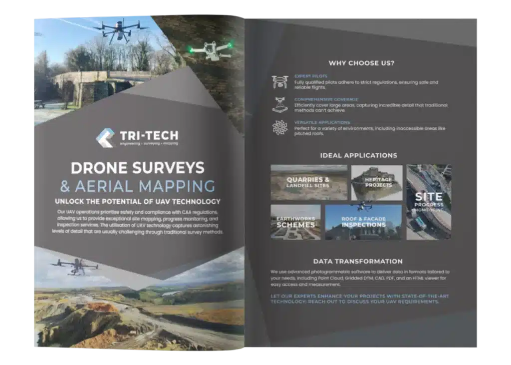
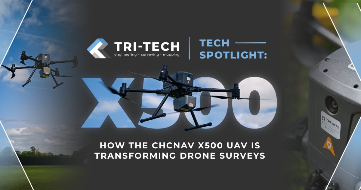
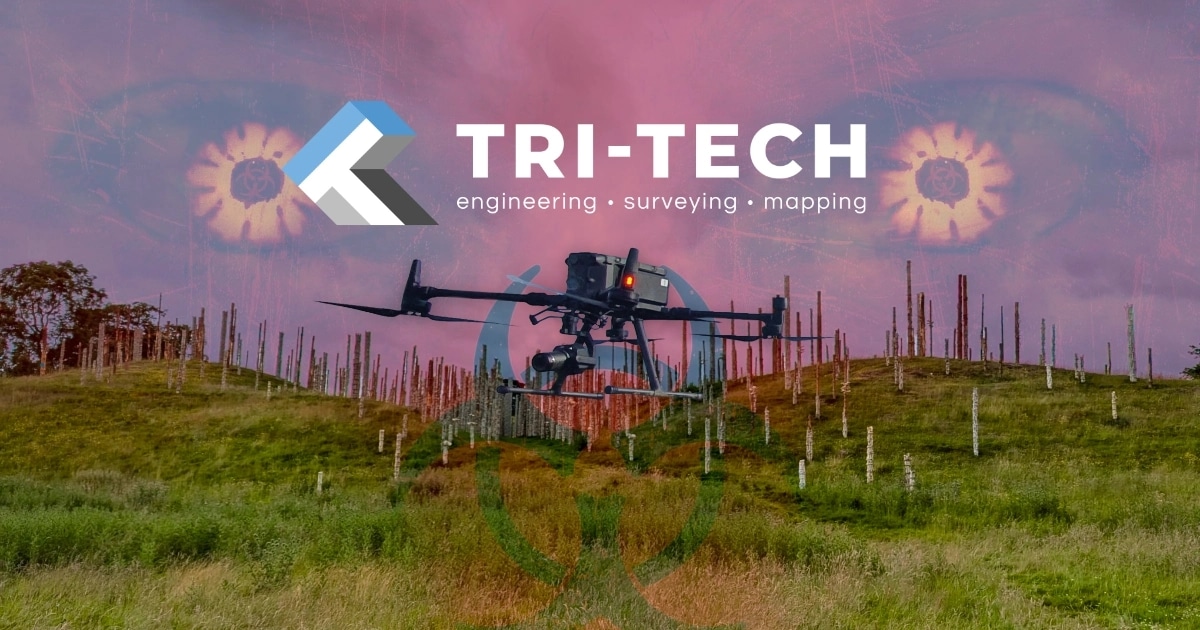
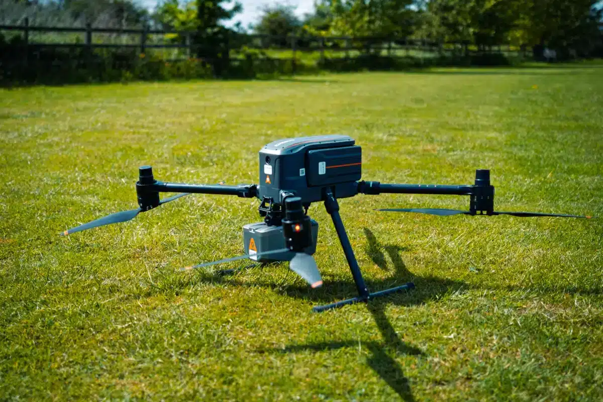
Advanced Engineering for Demanding Missions
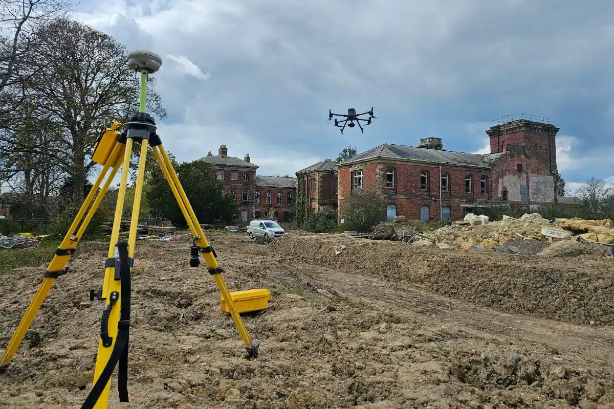
The CHCNAV X500 surpasses a typical drone; it is a professional-grade platform built specifically for heavy-duty data capture. With a five-kilogram payload capacity and nearly an hour of flight time, it’s engineered to cover large areas efficiently without sacrificing accuracy.
What truly sets it apart, though, is its reliability in complex environments. Redundant flight systems, including dual GNSS, triple IMUs, and intelligent return-to-home features ensure the X500 remains stable and on course even in challenging conditions. Whether it’s flying near structures, operating in changing weather, or working across varied terrain, this drone brings unmatched stability and control.

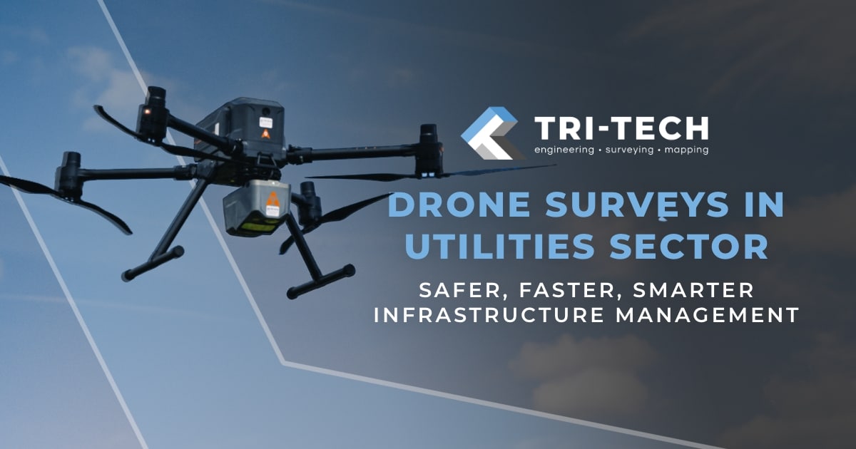
Why Use Drone Surveys in Utilities?
Traditional ground-based inspections often involve working at height, temporary shutdowns, road closures, or navigating difficult terrain. Drone surveys drastically reduce these challenges by providing:
- Remote access to live or restricted areas
- Faster data collection across long linear assets
- High-accuracy mapping and 3D models for infrastructure planning
- Thermal and visual inspection of energy systems
- Minimised disruption to services and personnel
Whether it’s surveying power lines, monitoring pipeline corridors, or mapping underground utilities from the air, drones provide a reliable, cost-effective alternative to traditional methods.
Benefits for Utility Providers and Contractors
Drone surveys provide significant value to utility companies, combining efficiency with precision. One of the key benefits is improved safety. By reducing the need for manual access to live infrastructure or high-risk areas, drones help protect personnel while maintaining a clear view of critical assets.
They also save time – a drone can cover expansive corridors or multiple asset locations in a fraction of the time it would take a ground-based team, without needing to shut down operations. This speed translates directly into cost savings, cutting down on labour, access equipment, and delays.
The data itself is another major advantage. Drone surveys provide highly accurate, geo-referenced outputs that can be used for modelling, design, compliance, and planning. These deliverables integrate seamlessly with GIS and CAD platforms, supporting both field operations and digital workflows. Over time, repeat surveys also allow asset managers to track deterioration, monitor change, and make proactive decisions across the asset lifecycle.
Common Use Cases in the Utilities Sector
Overhead Power Line Inspection
Using high-resolution cameras and LiDAR, drones can inspect power lines for wear, damage, and vegetation encroachment without putting engineers at risk or taking the line out of service.
Pipeline Corridor Mapping
Drone surveys are ideal for capturing long stretches of pipeline routes, identifying access issues, or monitoring ground movement along corridors that span remote or inaccessible areas.
Substation and Facility Scans
Drones can create detailed models of substations and utility facilities for layout planning, maintenance checks, and structural assessments all from a safe distance.
Flood Risk and Drainage Modelling
For water utilities, drone-based elevation data supports flood modelling, reservoir monitoring, and catchment analysis - helping teams prepare for weather-related challenges and manage assets more sustainably.
Telecom Tower and Mast Inspections
Drone surveys allow for close-up inspection of mobile towers, antennas, and broadcast masts, reducing the need for rope access, cherry pickers, or tower shutdowns.
Ready for a Smarter Approach to Utility Surveys?
Our team delivers high-precision aerial surveys for the utility sector using advanced drone platforms, including LiDAR, high-res imaging, and thermal sensors.
Whether you’re inspecting overhead assets, planning new infrastructure, or managing legacy networks, our drone services give you the visibility you need safely, efficiently, and without disruption.
Download our aerial and drone surveys brochure and find out how we can support your next utility project.