Precision Laser Scanning on the London Underground: George Lane Viaduct

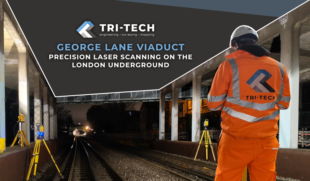
Tri-Tech Surveys were commissioned to carry out a comprehensive 3D laser scanning survey of George Lane Viaduct as part of a major infrastructure assessment programme. The project required the capture of a full-colour point cloud across the viaduct structure – including a priority staircase element – with all data registered to a controlled traverse network and delivered to the client as a complete, unified dataset.
The site presented a unique set of operational constraints: live London Underground track access on nightshifts only, with traffic management on the adjacent road required for surface-level operations. All scanning had to be completed within tight access windows, with no room for programme overrun.

THE CHALLENGE

Operating on the London Underground network outside of service hours introduces a level of programme discipline that few survey environments demand. Every nightshift access window is fixed, non-negotiable, and time-limited. There is no opportunity to return the following morning to pick up a missed scan position. The specific challenges on this project included: Working under live railway possession conditions with strict safety protocols and controlled access Coordinating nightshift track access with road-level traffic management simultaneously Delivering a priority section ahead of the full dataset, requiring it to be processed and issued to the client within days of capture Ensuring sufficient scan overlap and target coverage across a large, complex structure so that all individual scan positions could be registered into a single coherent point cloud at the end of the programme Capturing all data in full colour, with no operatives visible in scan positions or photography
Laser Scanning Survey London Tich Tech Surveys 6
Laser Scanning Survey London Tich Tech Surveys 3
Laser Scanning Survey London Tich Tech Surveys 1
Laser Scanning Survey London Tich Tech Surveys 2
Laser Scanning Survey London Tich Tech Surveys 4
Laser Scanning Survey London Tich Tech Surveys 5

OUR APPROACH

The staircase was identified as the priority deliverable, required by the client the following week. Tri-Tech planned and sequenced the capture programme to allow this element to be extracted, registered and processed as a standalone dataset immediately without waiting for the full survey to complete.
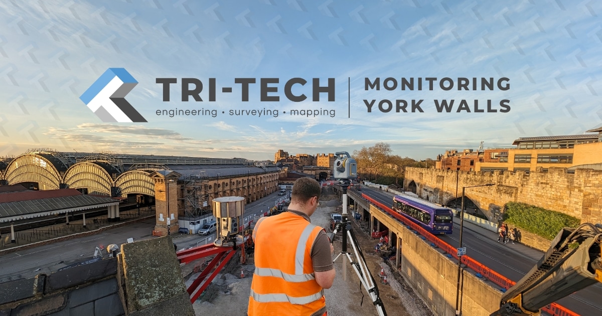
Across the programme, Trimble X7 and X9 laser scanners were deployed simultaneously to maximise data capture within each nightshift window. All 550+ scan positions were captured in full colour, with operatives kept clear of all scan positions and photography throughout. A verified control network tied the entire dataset together across multiple access sessions, ensuring the full point cloud registered accurately as a single unified model at project close.

The client received:

  • A full-colour registered point cloud covering the entire George Lane Viaduct structure
  • Full 3D CAD file of the structure drawn from the pointcloud to support their revit modelling
  • Priority delivery of the staircase point cloud, processed and issued the week following initial site mobilisation
  • A dataset tied to a verified closed loop traverse control network, suitable for structural assessment, condition survey, and design use
  • Clean, operator-free scan data and imagery throughout


The project demonstrated Tri-Tech’s capability to operate effectively in one of the most demanding access environments in UK infrastructure – delivering programme-critical data on time, within the constraints of a live railway possession.

RESULTS AND DELIVERABLES

Infrastructure Laser Scanning Tri Tech 2
Infrastructure Laser Scanning Tri Tech 1

Share this post