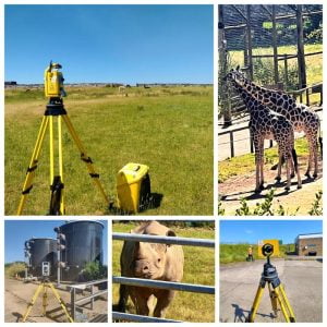
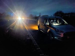
Leeds
Leeds Doncaster
 Sheffield
 Bradford
 Hull
Hull Halifax
 Sunderland
 Newcastle
 Middlesborough
 Yorkshire Moors
 Teesside
 Cumbria
 Harrogate
 Teesdale
 York
York Yorkshire Dales
 Northumberland
 Goole
Goole Carlisle
 Keswick
 Kendal
 Barrow-in-Furness
 Lancaster
 Blackpool
 Morecambe
 Southport
 Liverpool
 Wigan
Wigan Manchester
 Blackburn
 Burnley
 Forest of Bowland
 Oldham
 Chester
 Stockport
 Peak District
 Skipton
 Crewe
Crewe Rotherham
 Stoke
Stoke Driffield


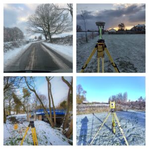
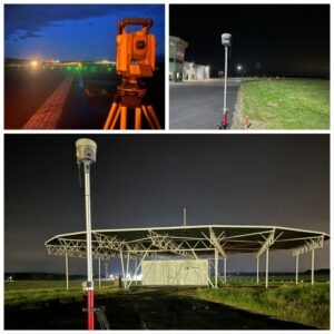
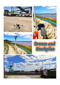
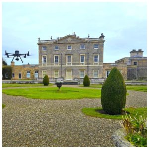
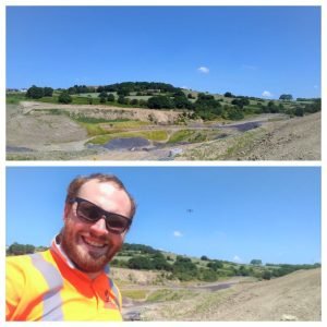
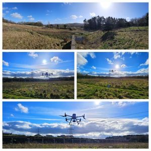
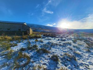
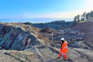
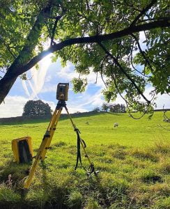
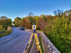
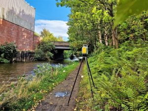
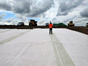
Finally the Summer has shown her face and boy does it make our days as land surveyors so much better.
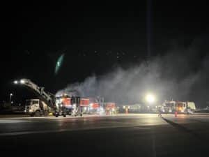
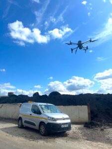
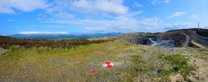
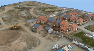
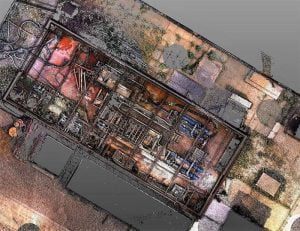
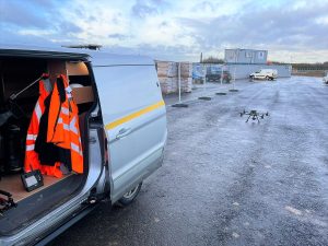
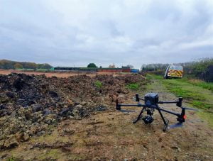
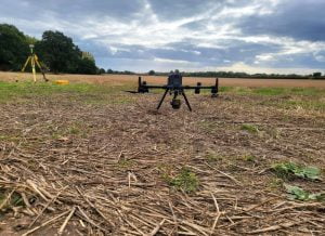
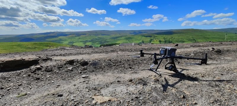
Our managing director, Ted Harland became a pilot for the day and took the DJI M300 to a large aggregate site to complete a stock pile survey.
Utilizing the drone to calculate stockpile measurements makes it easier for our client to compare the current stockpile volumes to previous surveys and in turn track site progress.
Drones are fast becoming the go to surveying workflow for aggregate and earthwork sites to measure stockpiles, giving them more accurate and much quicker actionable data
- Home
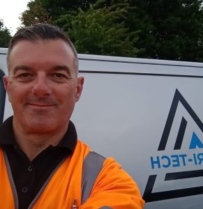
- About Tri-Tech
- Our Surveying Services
- About Surveying – FAQs
- Services▼
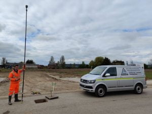
- Topographical Surveys
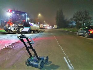
- PAS 128 Utility Mapping
- Monitoring Campaigns
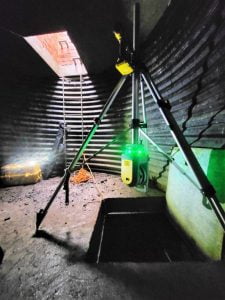
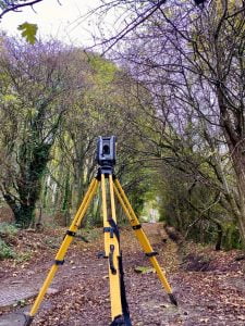
- Laser Scanning
- BIM Model Creation
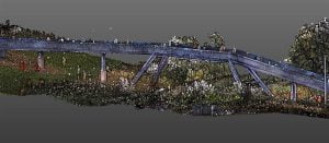
- Stockpile Surveys & Volumetric Analysis
- 3D Machine Control
- Setting Out Engineers and Site Engineering
- Control Network Installation
- Aerial and Drone Surveys
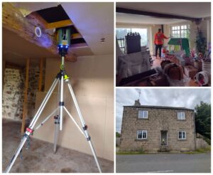
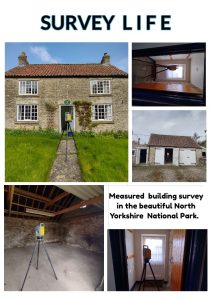
- Measured Building Surveys
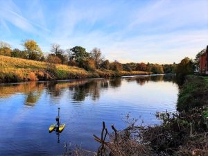
- Bathymetric Surveys
- Virtual Tour 3D
- Survey Equipment Hire and Sales
- Sectors▼
- Resources
- News
- Careers
- Location
- Get a Quote
- Contact
- Privacy Policy