Leeds
Leeds Doncaster
 Sheffield
 Bradford
 Hull
Hull Halifax
 Sunderland
 Newcastle
 Middlesborough
 Yorkshire Moors
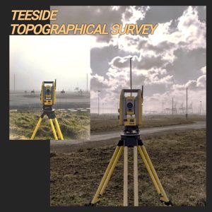
 Teesside
 Cumbria
 Harrogate
 Teesdale
 York
York Yorkshire Dales
 Northumberland
 Goole
Goole Carlisle
 Keswick
 Kendal
 Barrow-in-Furness
 Lancaster
 Blackpool
 Morecambe
 Southport
 Liverpool
 Wigan
Wigan Manchester
 Blackburn
 Burnley
 Forest of Bowland
 Oldham
 Chester
 Stockport
 Peak District
 Skipton
 Crewe
Crewe Rotherham
 Stoke
Stoke Driffield


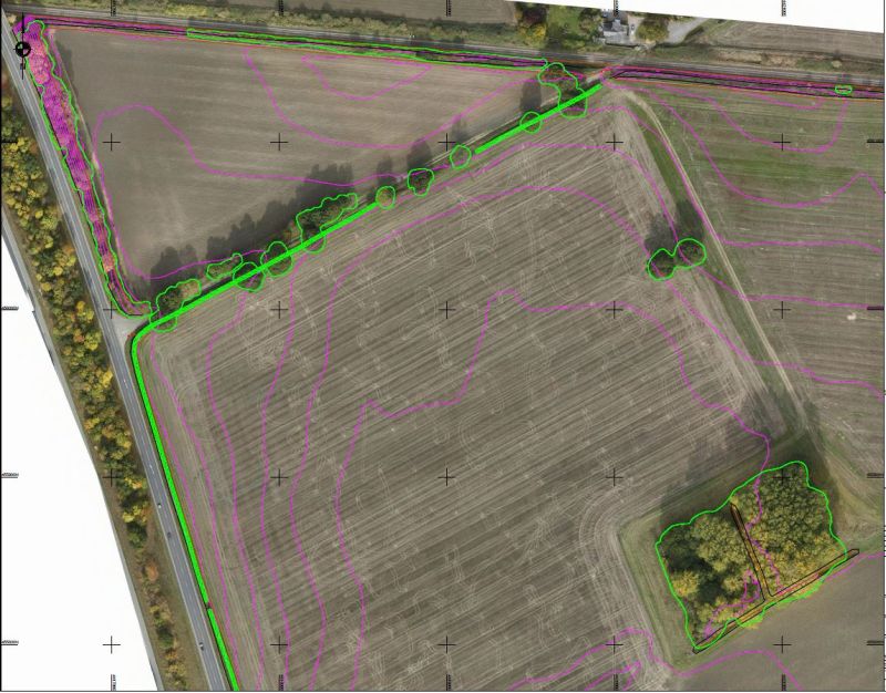
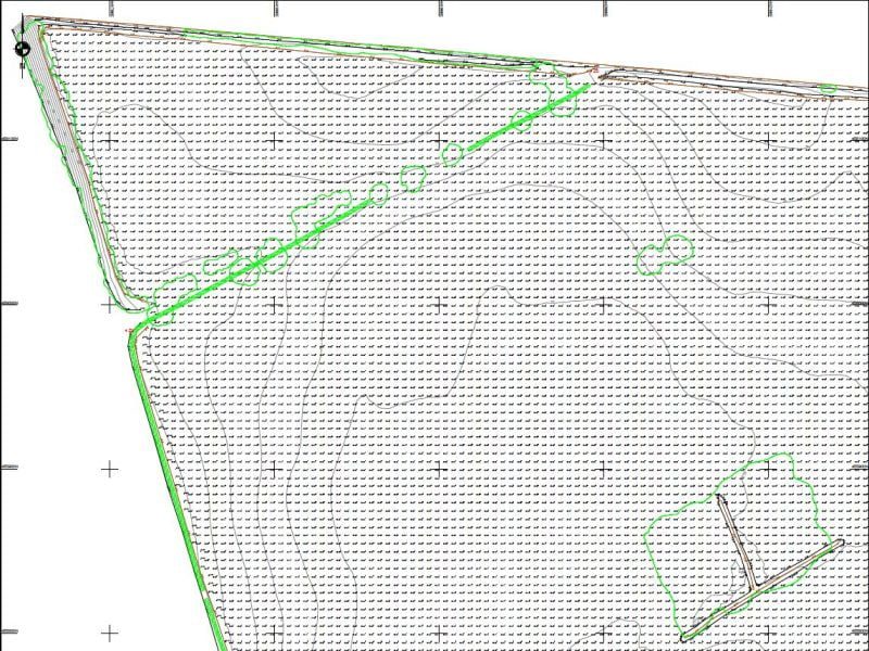

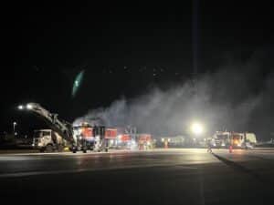
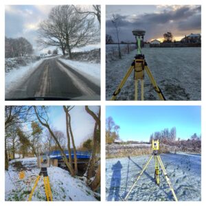
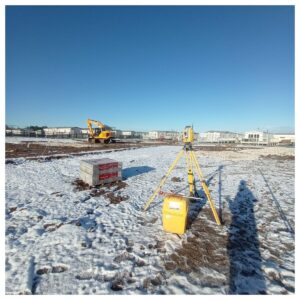
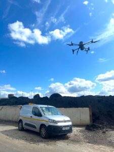
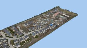
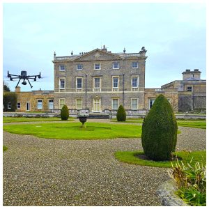
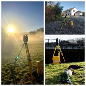
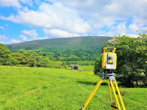
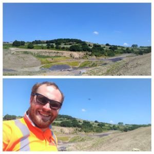
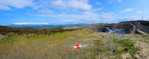
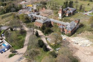
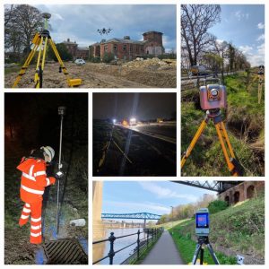
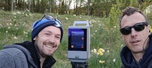
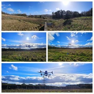
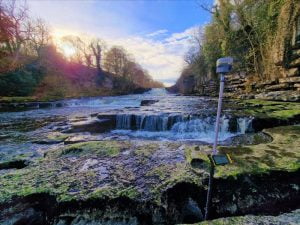
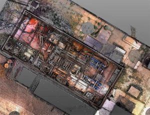
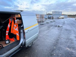
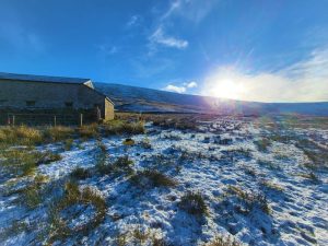
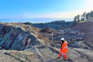
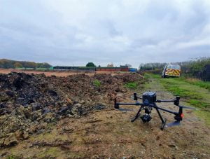
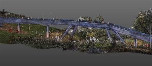
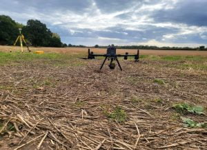
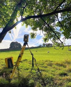
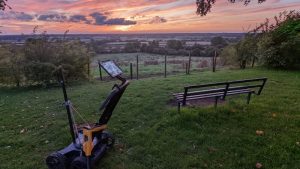
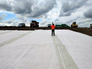
Out and about this week with the M300 completing a full land topographical survey in rural North Yorkshire
Both photogrammetry and lidar sensors were used to capture the existing levels of this vast site.
Grid levels of five metres were extracted from the drone data, all made easier with the help of Applications in Cadd ground extraction feature.
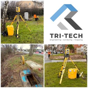
- Home
- About Tri-Tech
- Our Surveying Services
- About Surveying – FAQs
- Services▼
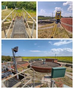
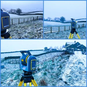
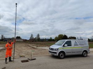
- Topographical Surveys
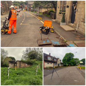
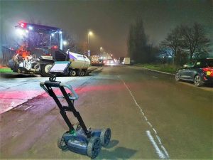
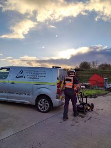
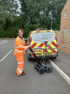
- PAS 128 Utility Mapping
- Monitoring Campaigns
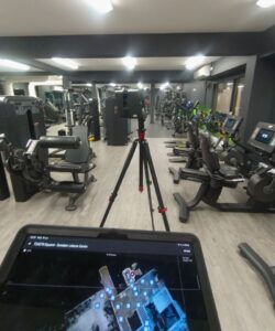
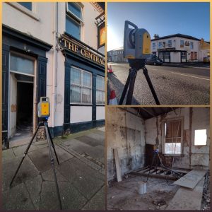
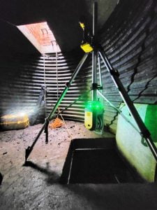
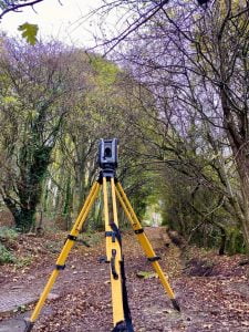
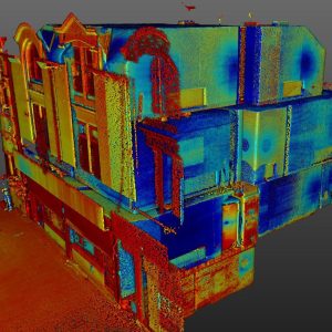
- Laser Scanning
- BIM Model Creation
- Stockpile Surveys & Volumetric Analysis
- 3D Machine Control
- Setting Out Engineers and Site Engineering
- Control Network Installation
- Aerial and Drone Surveys
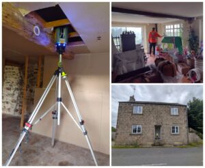
- Measured Building Surveys
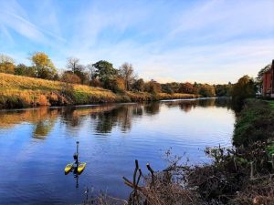
- Bathymetric Surveys
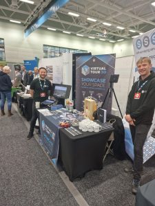
- Virtual Tour 3D
- Survey Equipment Hire and Sales
- Sectors▼
- Resources
- News
- Careers
- Location
- Get a Quote
- Contact
- Privacy Policy