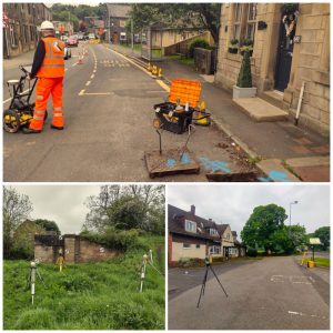
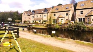
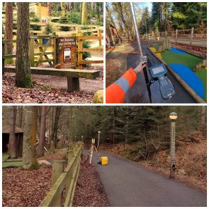
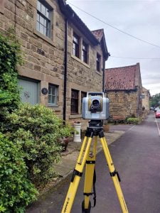
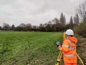
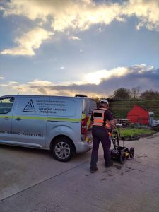
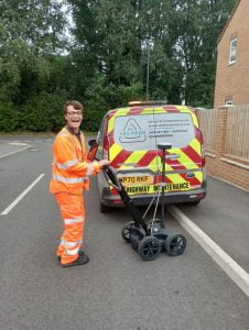
Leeds
Leeds Doncaster
 Sheffield
 Bradford
 Hull
Hull Halifax
 Sunderland
 Newcastle
 Middlesborough
 Yorkshire Moors
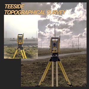
 Teesside
 Cumbria
 Harrogate
 Teesdale
 York
York Yorkshire Dales
 Northumberland
 Goole
Goole Carlisle
 Keswick
 Kendal
 Barrow-in-Furness
 Lancaster
 Blackpool
 Morecambe
 Southport
 Liverpool
 Wigan
Wigan Manchester
 Blackburn
 Burnley
 Forest of Bowland
 Oldham
 Chester
 Stockport
 Peak District
 Skipton
 Crewe
Crewe Rotherham
 Stoke
Stoke Driffield


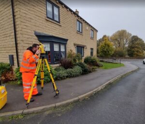
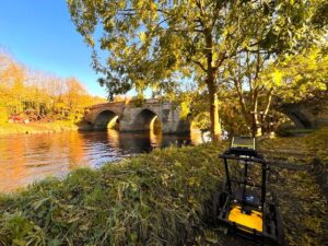
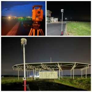
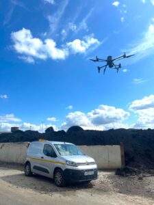
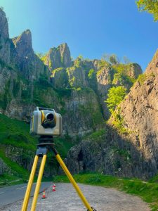
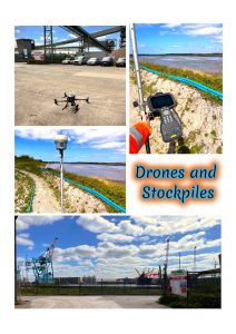
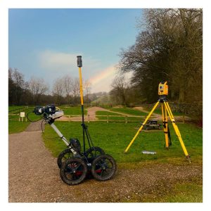
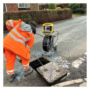
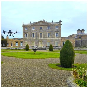
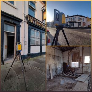
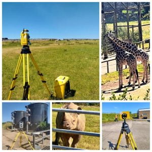
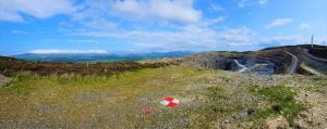
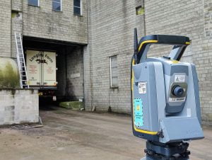
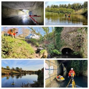
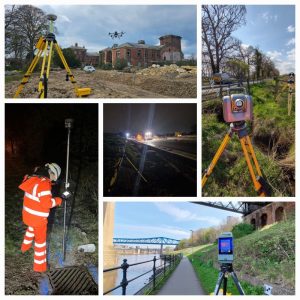
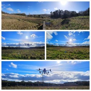
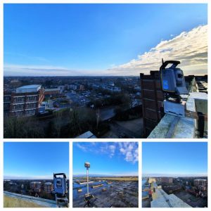
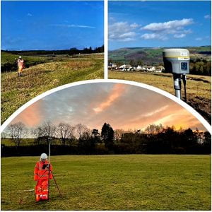
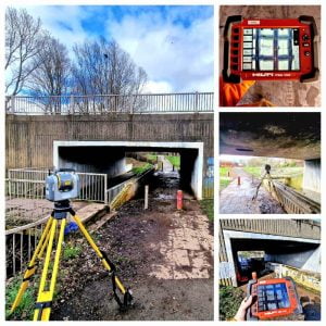
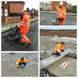
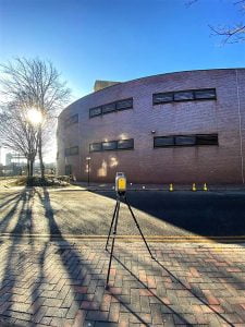
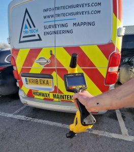
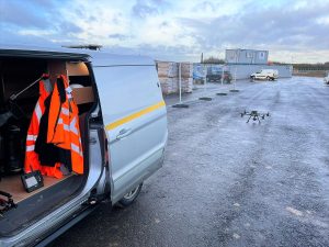
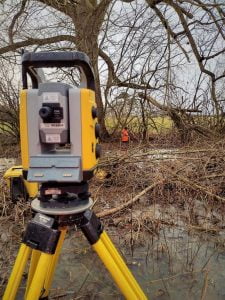
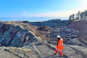
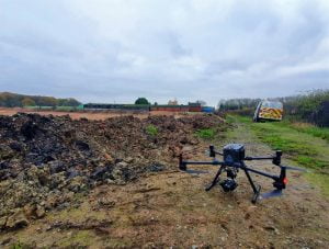
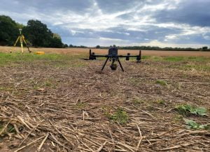
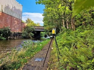
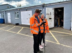
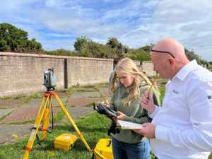
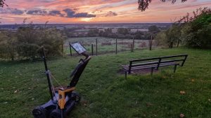
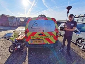
Drone Surveys, what are the benefits ?
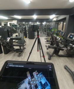
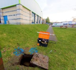
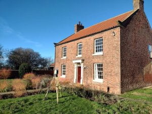
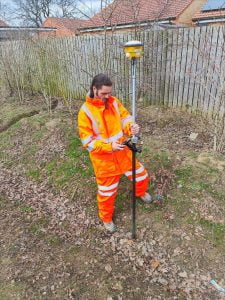
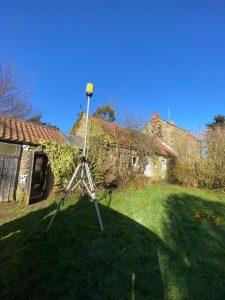
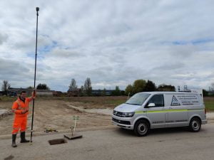
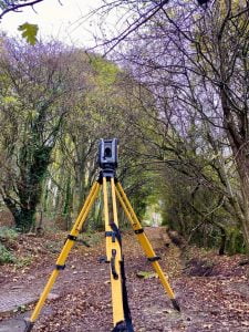
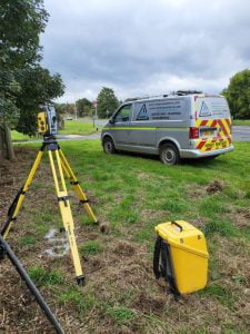
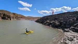
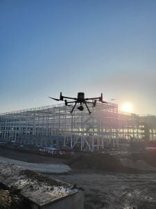
Using drones to survey enable us to collect large amounts of data in a fraction of the time that it would if we were using the traditional methods. Capturing the data with the drone provides us with highly accurate and comprehensive results. One single drone flight can capture what would take a surveyor a number of days on foot. Post processing data gathered can then be manipulated to produce detailed elevation models, point clouds, orthomosaics as well as 3D reconstructions and digital twins of buildings and sites .
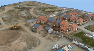
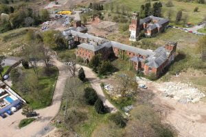
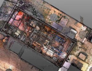
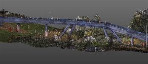
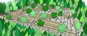
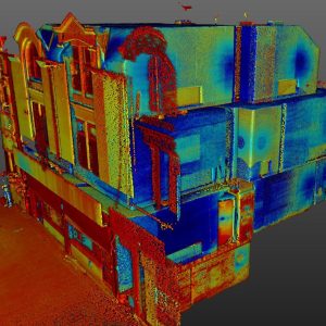
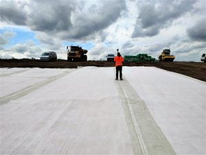
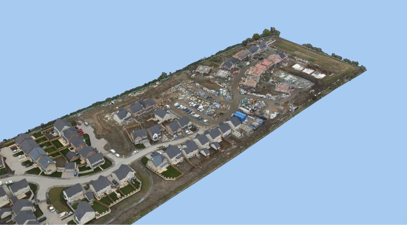
This recent project shows the stages from the raw data through to cut/fill shading to form part of this clients volumetric analysis.